An 8.6 km waymarked loop from the village of Bemposta, in Mogadouro, down to the Faia da Água Alta waterfall in the Douro Internacional Natural Park and back through the hamlet of Lamoso.
About this place
The Trilho da Faia da Água Alta is small route PR4 of the walking network of the municipality of Mogadouro, in the district of Bragança, and lies in the Douro Internacional Natural Park. It starts and ends at the Santo Cristo chapel, in the square of the same name in the village of Bemposta. The municipal leaflet gives a circular walk of about 8.6 km and three hours, with 427 metres of climbing; the highest point, at the Santa Bárbara chapel, is at 725 metres.
The first part crosses Bemposta, past the parish church, the pillory, the chapel of São Sebastião, houses with coats of arms and the remains of the walls ordered by King Dinis. From the Santa Bárbara chapel and its viewpoint the path leaves the village and descends the slope to the Bemposta stream, with several natural viewpoints over the waterfall. After crossing the stream, a narrow, winding path climbs towards the falls, which lie on the Lamoso stream shortly before it joins the Bemposta stream, a tributary of the Douro.
The waterfall is at its best after weeks of heavy rain, and the leaflet recommends seeing it between November and April, when it carries most water. In the rest of the year the cliff and the landscape remain the attraction. From the falls the route climbs to Lamoso, a small hilltop hamlet, passes the Apresentação chapel and returns to Bemposta along the old path that linked the two villages, with stretches of stone paving and an old bridge over the Bemposta stream.
The trail can be walked all year, but the leaflet advises avoiding periods of heavy rain and of great heat, as there is little shade. Walkers are asked to stay on the waymarked path, close gates, respect private property, take litter to a collection point and leave plants, animals and rocks untouched. Carry water and avoid walking alone. The leaflet and GPS tracks can be downloaded from the municipal website.
Location
Bragança41.3124, -6.5019
Nearby
- Outdoor Fun
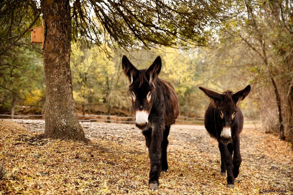
Miranda Donkey Centre (Centro de Valorização do Burro de Miranda)
- Traditional Crafts

Cutelaria Martins – Palaçoulo Knife Makers
- Natural Parks
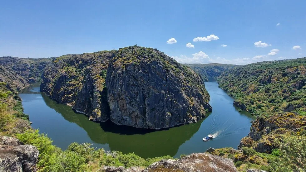
Douro Internacional Natural Park
- Ecoparks
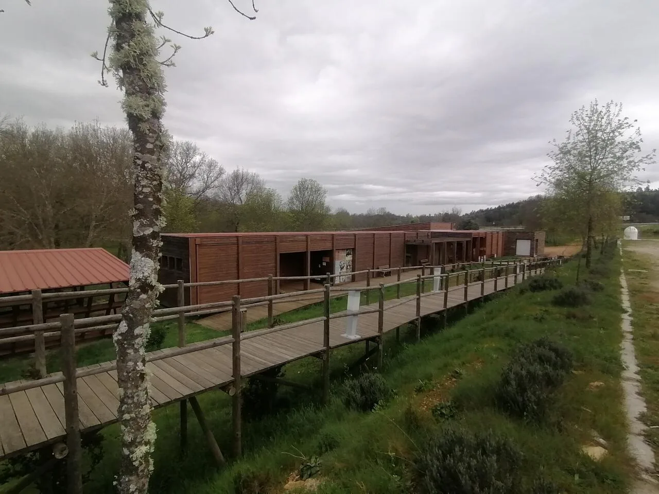
Iberian Nature and Adventure Park (PINTA)
- Traditional Crafts
Silk and Territory Museum – Freixo de Espada à Cinta
- Craft Food

Quinta Mourisca
- Natural Parks

Albufeira do Azibo Protected Landscape
- Agritourism

Quinta Acushla
Photos from travellers
Sent by people who have been here.
No traveller photos yet. Been here? Share yours.
More places in Nature Trails
- Nature Trails
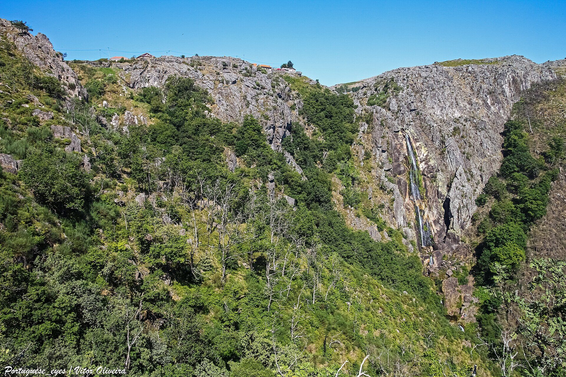
Frecha da Mizarela Trail
- Nature Trails
Sete Vales Suspensos Trail (Seven Hanging Valleys)
- Nature Trails
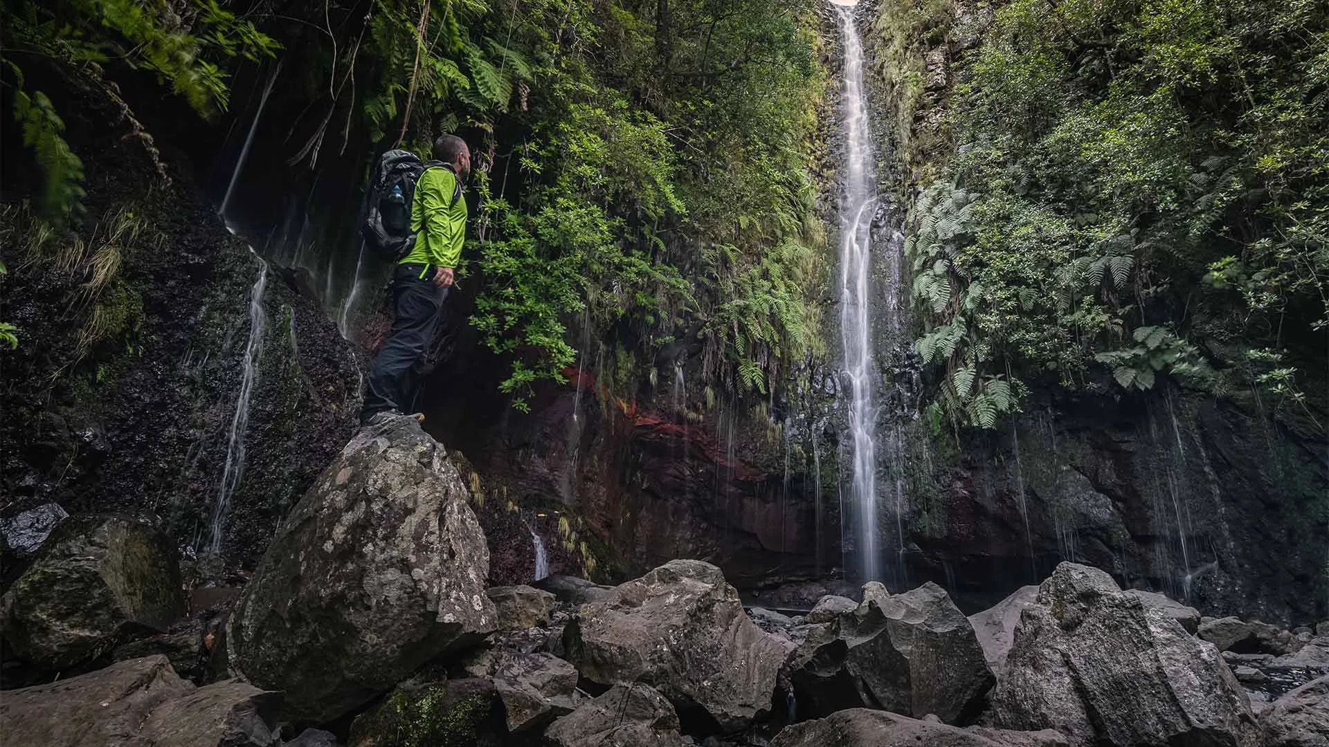
Levada das 25 Fontes Trail (PR 6)
- Nature Trails
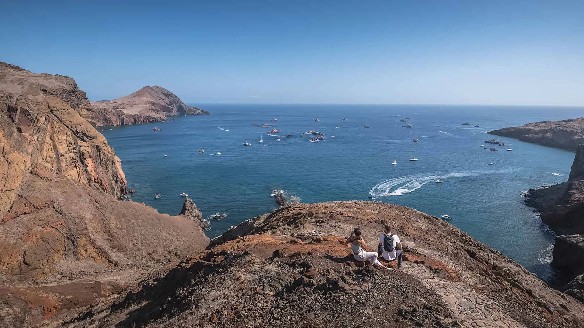
Vereda da Ponta de São Lourenço Trail (PR 8)
- Nature Trails
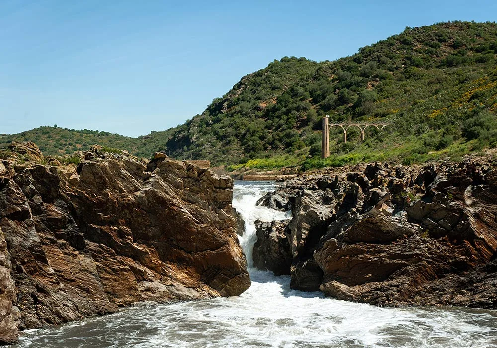
PR9 Between the Escalda and Pulo do Lobo
- Nature Trails
Sanguinho and Salto do Prego Trail (PRC 09 SMI)
- Nature Trails
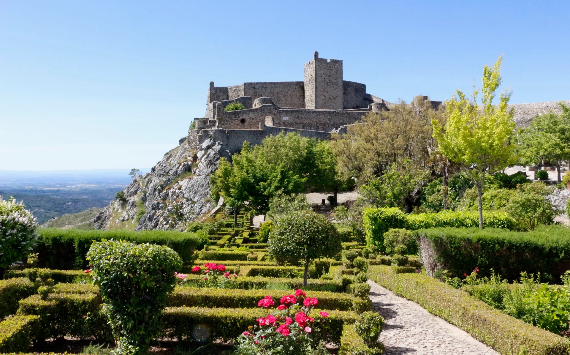
Marvão Walking Trail (PR1 MRV)
- Nature Trails
Conhal Trails (PR4 NIS Trilhos do Conhal)
- Nature Trails
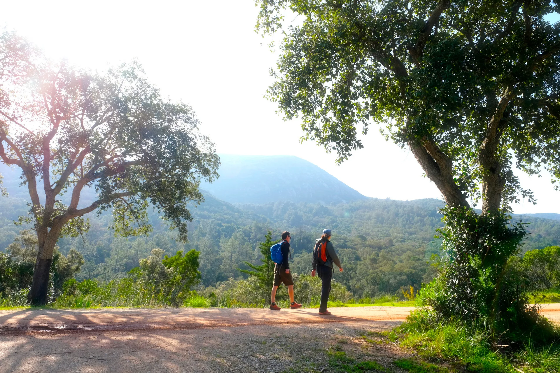
Alto do Formosinho Trail (PR2 STB)
- Nature Trails
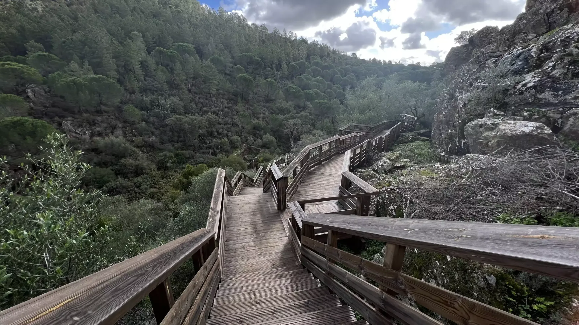
Serra d'Ossa Boardwalks
- Nature Trails
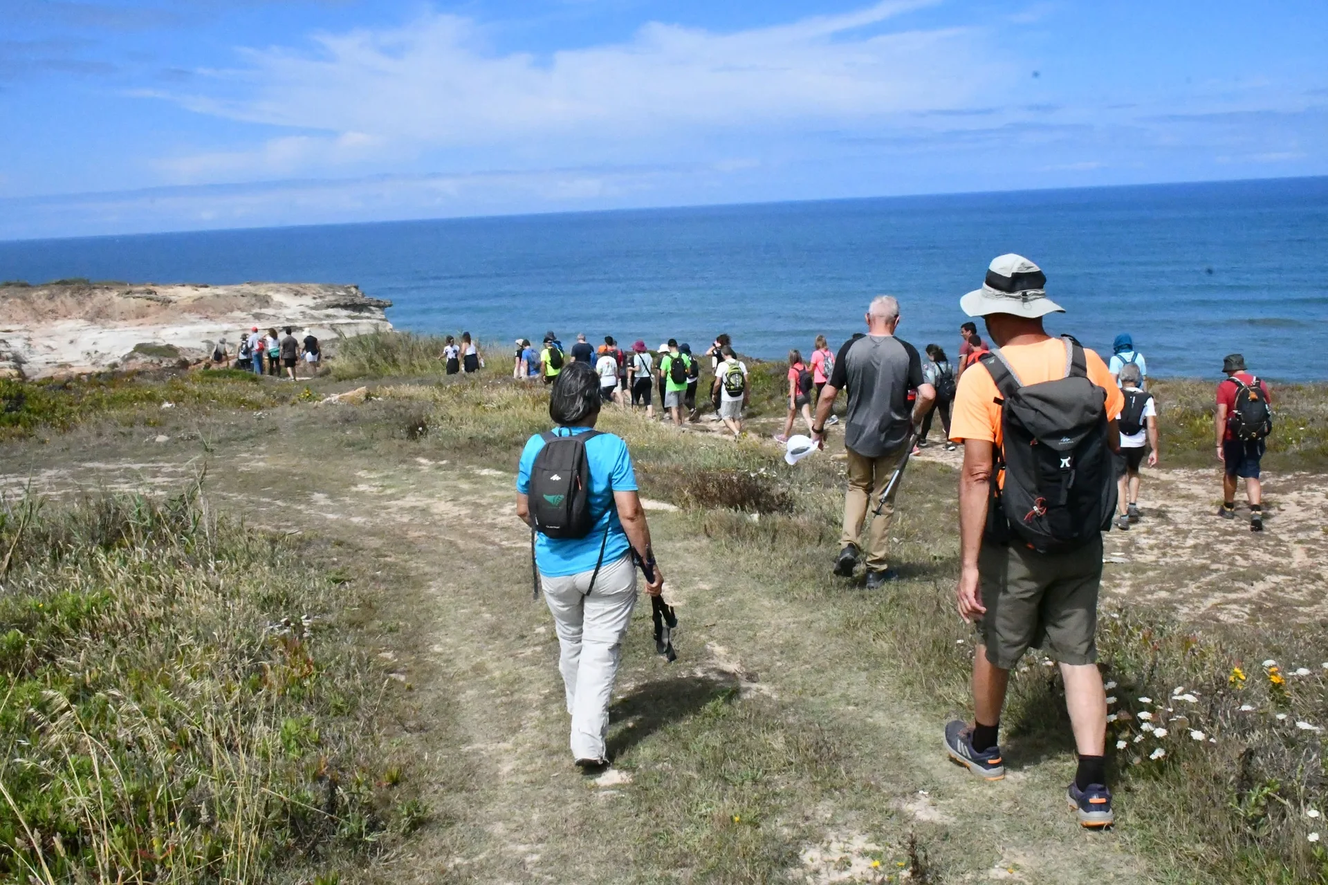
Foz Azul Reserve Trail (PR13 TVD)
- Nature Trails

Rota dos Fósseis Fossil Trail (PR3 IDN)
- Nature Trails

Rota dos Moinhos Watermills Trail (PR1 LSA)
- Nature Trails

Fragas de São Simão Trail
- Nature Trails

Agroal Boardwalk (Passadiço do Agroal)
- Nature Trails

Orvalho GeoRoute (PR3 OLR GeoRota do Orvalho)
- Nature Trails

Rio Marão Trail (PR6 Rio Marão)
- Nature Trails

Rota das Bétulas Birch Trail (PR2 SPS)
- Nature Trails

Mondego Walkways (Passadiços do Mondego)
- Nature Trails

Poço do Inferno Trail (PR1 MTG Rota do Poço do Inferno)
- Nature Trails
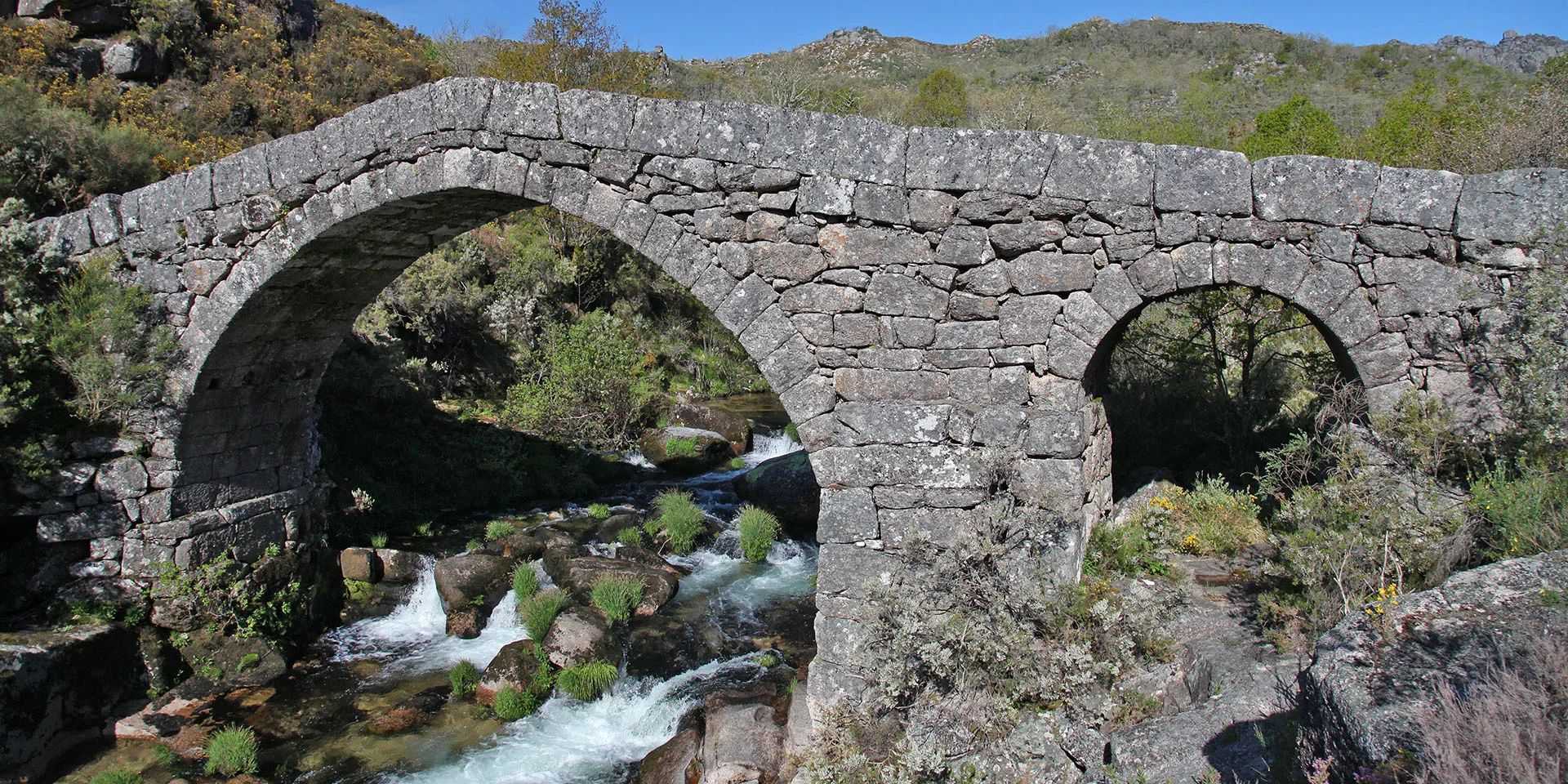
Castrejo Trail (PR3 Trilho Castrejo)
- Nature Trails
Cidade da Calcedónia Trail (PR1 TBR)
- Nature Trails
Fisgas de Ermelo Trail (PR3 MDB)
- Nature Trails
Rio de Onor Trail (PR11 BGC O Lado Português de Rio de Onor)
- Nature Trails
Pincho Trail (PR5 Trilho do Pincho)
- Nature Trails
Fonte Benémola Trail (PR16 LLE)
- Nature Trails
Santa Clara to the Dam Trail (De Santa Clara à Barragem)
- Nature Trails
Serra do Topo – Caldeira de Santo Cristo – Fajã dos Cubres Trail (PR01 SJO)
- Nature Trails
Between the Neiva and the Atlantic Trail (PR1 EPS Entre o Neiva e o Atlântico)
- Nature Trails

Turio Trail (PR4 VRM Percurso do Turio)
Travellers' notes
Tips and experiences from people who have been here.
No notes yet. Be the first to share a tip.