Santa Clara to the Dam Trail (De Santa Clara à Barragem)
An easy 10 km circular route of the Rota Vicentina from the village of Santa Clara-a-Velha, in Odemira, along the river Mira to the Santa Clara dam and its reservoir, with riverside woods, orchards and a river beach.
About this place
De Santa Clara à Barragem is circular route number 13 of the Rota Vicentina, the network of walking trails in south-west Portugal. It starts in Santa Clara-a-Velha, a quiet village in the hilly interior of the municipality of Odemira, at the entrance to the village beside the tourist office. The Rota Vicentina gives 10 km, a little under three hours and an easy grade, with 165 metres of climbing between 49 and 210 metres of altitude. The loop is waymarked in both directions.
The walk is dominated by the reservoir and by the river Mira, which local people simply call the ribeira. The Santa Clara dam was designed to irrigate about 12,000 hectares of land and also supplies drinking water, and the Rota Vicentina describes its reservoir as one of the largest in Europe. Downstream of the dam the path follows the river among poplars, ash trees, willows, rushes and bulrushes. Watercress and pennyroyal carpet the shallows outside the flood season, water lilies cover the deeper pools, and vegetable gardens and orchards of orange, fig and olive trees occupy the most fertile ground.
Birds are a constant presence, above all the azure-winged magpie, known locally as the charneco. In the village, the Azinhal fountain at the entrance, dated 1892 and restored in 1995, is a pleasant spot for a picnic, and the church of Santa Clara de Assis goes back to the first half of the sixteenth century. A few hundred metres beyond the houses stands the Dona Maria bridge, also called the Roman bridge because it lies on an old Roman road. The village is known for its honey and its medronho brandy, and walkers can swim at the river beach of the dam.
The route belongs to the Responsible Trails scheme promoted by the Alentejo tourism board, under which a technical audit each year checks waymarking, the state of the paths and their surroundings and the relationship with the local community. The latest audit notes that signs are missing at one junction or more, and on a stretch of about 1.3 km near the Herdade do Azinhal the path is marked only at each end, to protect the landowner's interests, so a map or GPS track is useful. The Rota Vicentina recommends walking its circular routes between September and June. There is a grocery shop in the village to stock up before setting out.
Location
Beja37.5134, -8.4768
Nearby
- Eco Stays

Monte do Casarão
- Eco Stays

Craveiral Farmhouse
- Traditional Crafts

CACO – Odemira Artisans' Association
- Eco Stays
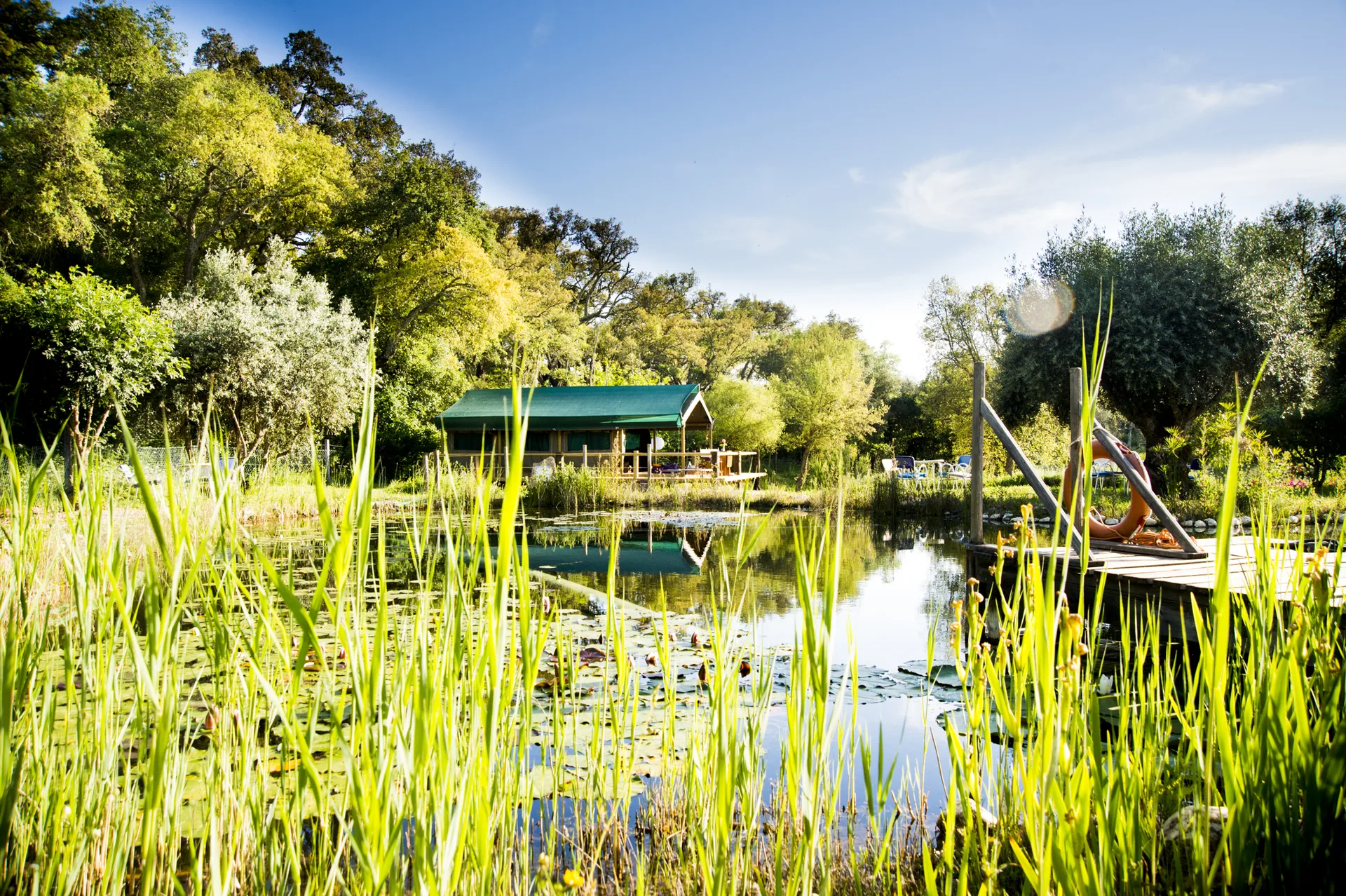
Figueirinha Ecoturismo
- Natural Parks
Sudoeste Alentejano e Costa Vicentina Natural Park
- Outdoor Fun
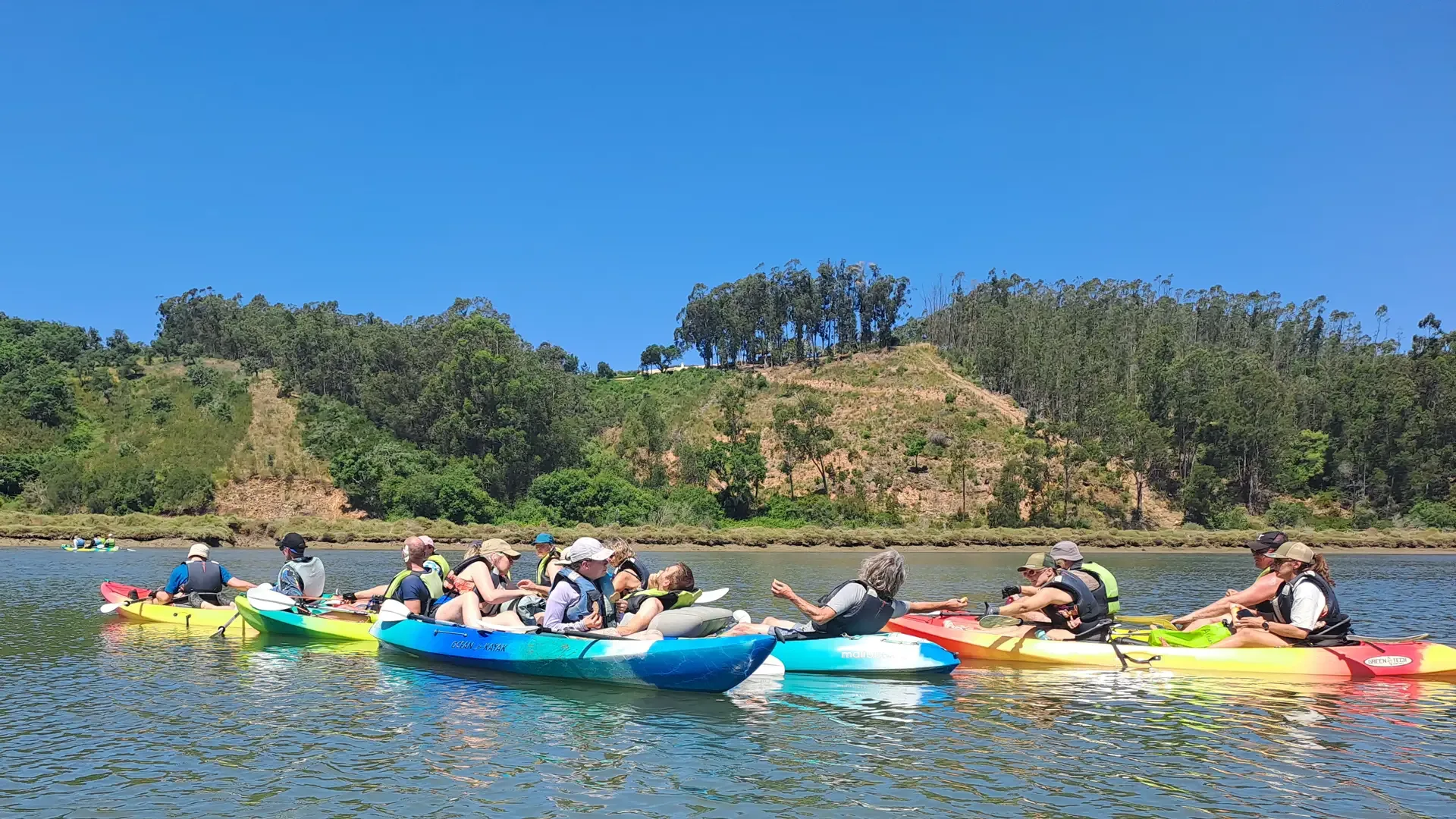
Areias do Mar
- Ecoparks
Sítio das Fontes Municipal Park
- Nature Reserves
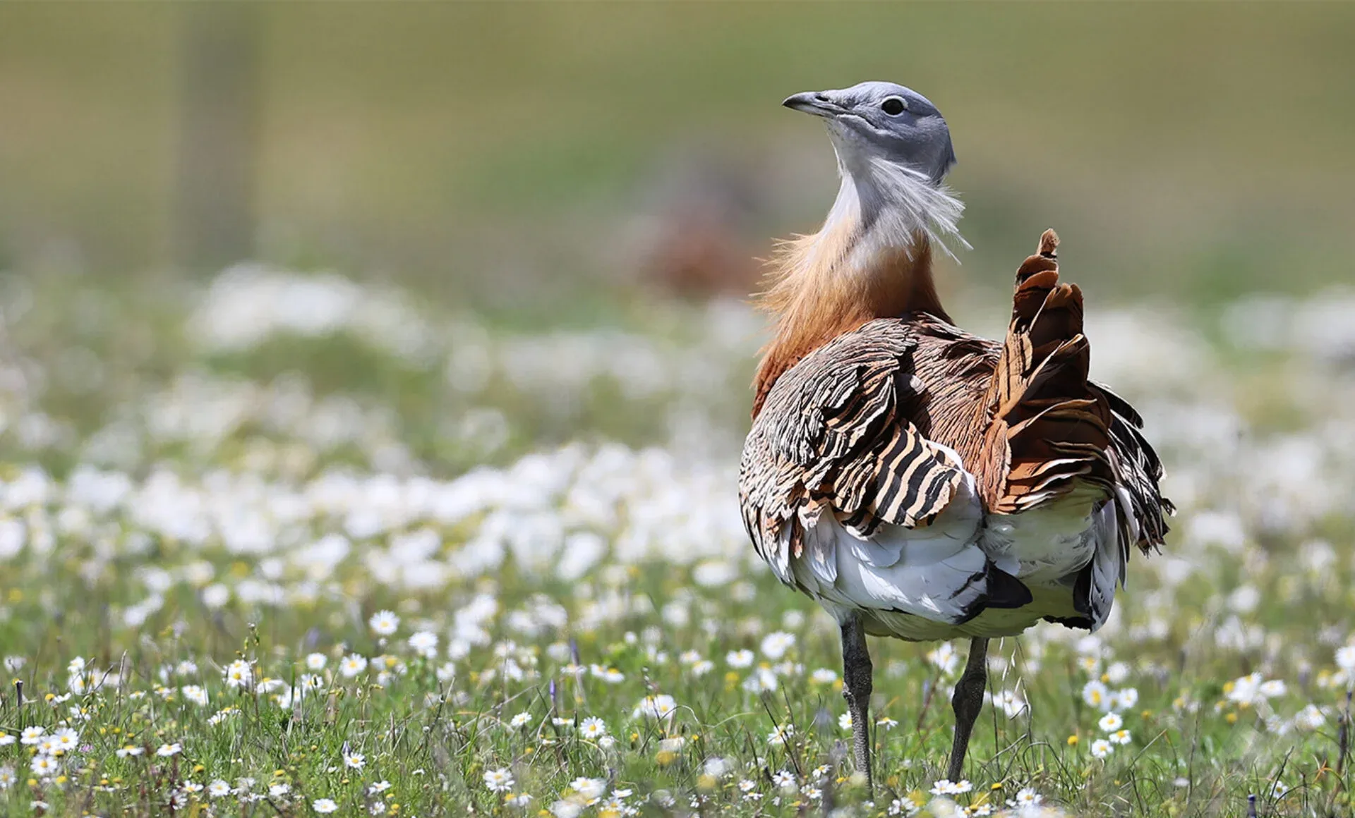
Castro Verde Biosphere Reserve
Photos from travellers
Sent by people who have been here.
No traveller photos yet. Been here? Share yours.
More places in Nature Trails
- Nature Trails
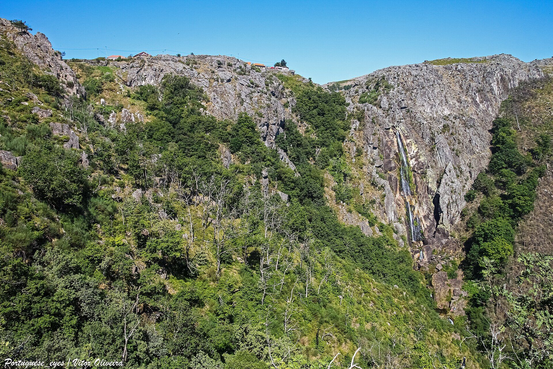
Frecha da Mizarela Trail
- Nature Trails
Sete Vales Suspensos Trail (Seven Hanging Valleys)
- Nature Trails
Levada das 25 Fontes Trail (PR 6)
- Nature Trails
Vereda da Ponta de São Lourenço Trail (PR 8)
- Nature Trails
PR9 Between the Escalda and Pulo do Lobo
- Nature Trails
Sanguinho and Salto do Prego Trail (PRC 09 SMI)
- Nature Trails
Marvão Walking Trail (PR1 MRV)
- Nature Trails
Conhal Trails (PR4 NIS Trilhos do Conhal)
- Nature Trails
Alto do Formosinho Trail (PR2 STB)
- Nature Trails
Serra d'Ossa Boardwalks
- Nature Trails
Foz Azul Reserve Trail (PR13 TVD)
- Nature Trails

Rota dos Fósseis Fossil Trail (PR3 IDN)
- Nature Trails

Rota dos Moinhos Watermills Trail (PR1 LSA)
- Nature Trails

Fragas de São Simão Trail
- Nature Trails

Agroal Boardwalk (Passadiço do Agroal)
- Nature Trails

Orvalho GeoRoute (PR3 OLR GeoRota do Orvalho)
- Nature Trails

Rio Marão Trail (PR6 Rio Marão)
- Nature Trails

Rota das Bétulas Birch Trail (PR2 SPS)
- Nature Trails

Mondego Walkways (Passadiços do Mondego)
- Nature Trails

Poço do Inferno Trail (PR1 MTG Rota do Poço do Inferno)
- Nature Trails
Castrejo Trail (PR3 Trilho Castrejo)
- Nature Trails
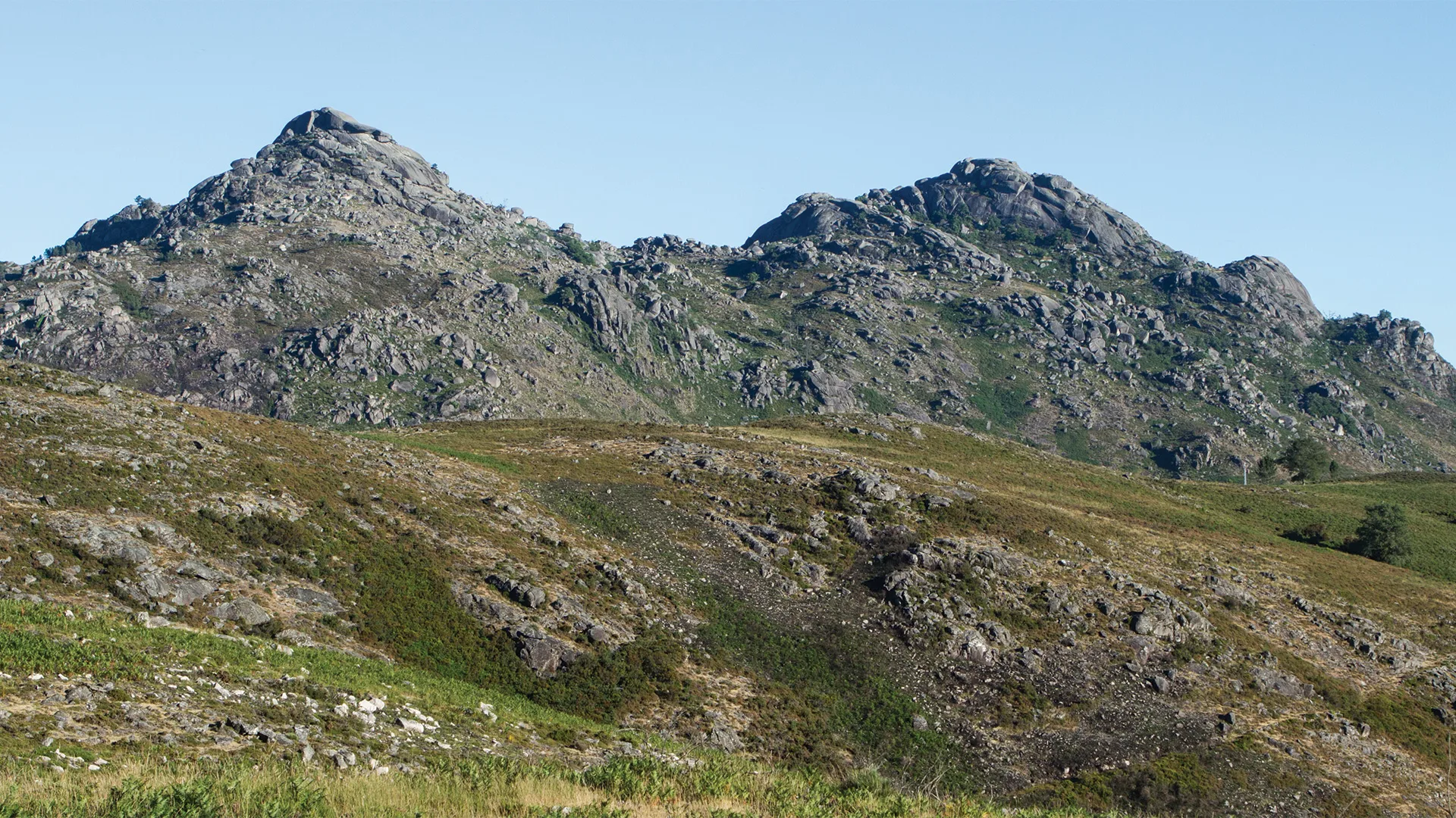
Cidade da Calcedónia Trail (PR1 TBR)
- Nature Trails
Fisgas de Ermelo Trail (PR3 MDB)
- Nature Trails
Faia da Água Alta Waterfall Trail (PR4 MGD)
- Nature Trails
Rio de Onor Trail (PR11 BGC O Lado Português de Rio de Onor)
- Nature Trails
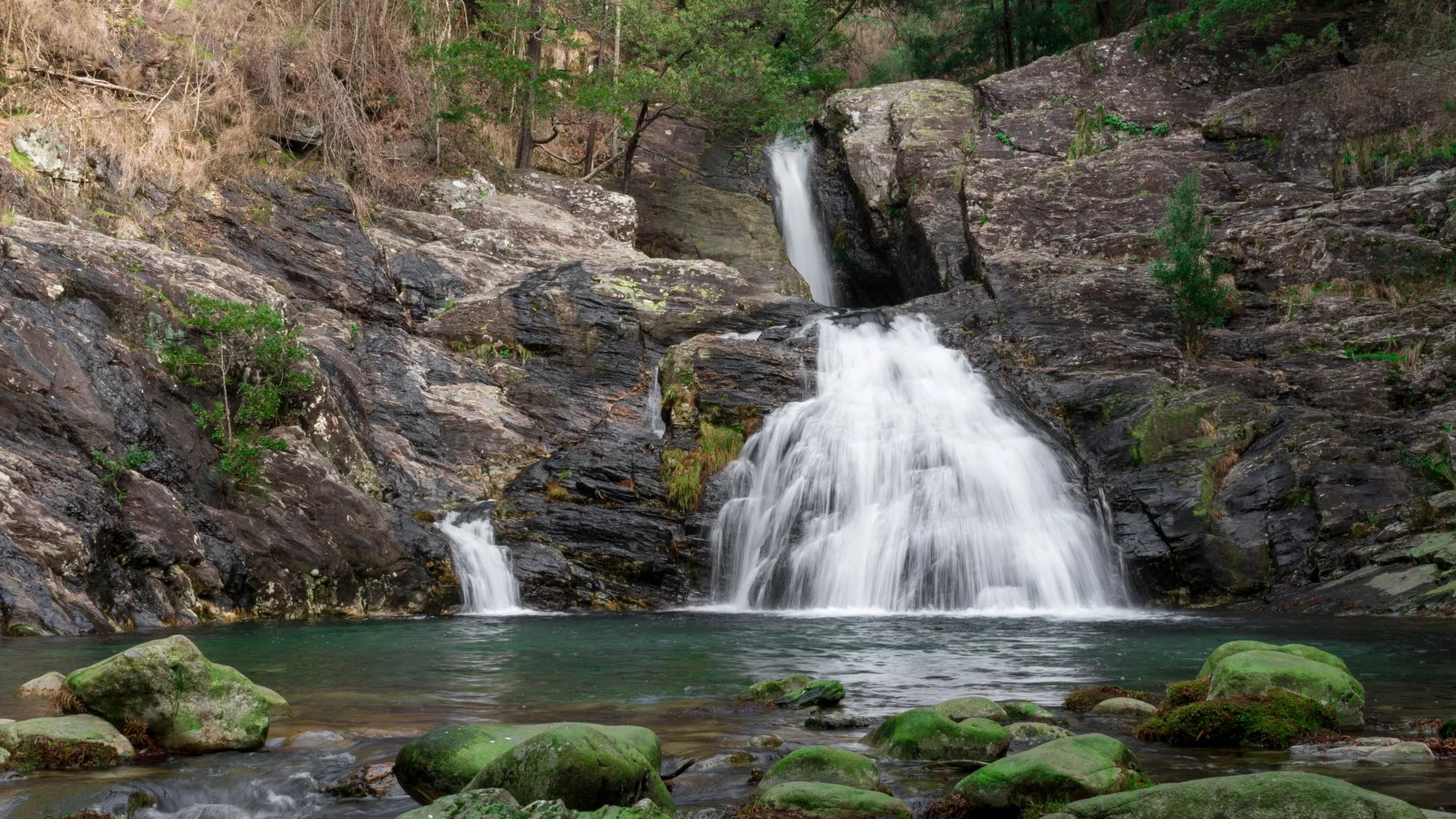
Pincho Trail (PR5 Trilho do Pincho)
- Nature Trails
Fonte Benémola Trail (PR16 LLE)
- Nature Trails
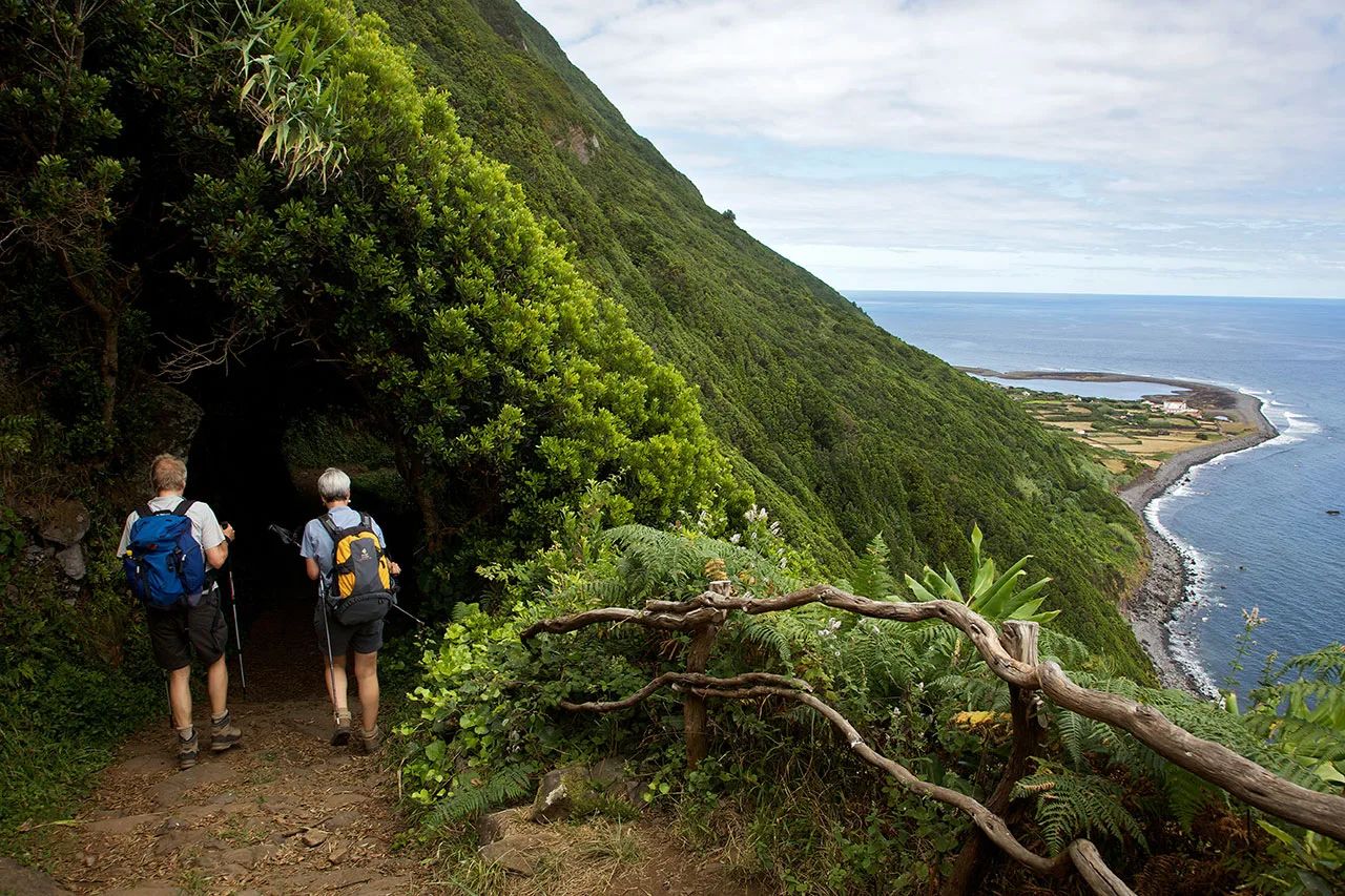
Serra do Topo – Caldeira de Santo Cristo – Fajã dos Cubres Trail (PR01 SJO)
- Nature Trails
Between the Neiva and the Atlantic Trail (PR1 EPS Entre o Neiva e o Atlântico)
- Nature Trails

Turio Trail (PR4 VRM Percurso do Turio)
Travellers' notes
Tips and experiences from people who have been here.
No notes yet. Be the first to share a tip.