A steep 7 km waymarked loop from the village of Covide, in the Peneda-Gerês National Park, up to the granite hilltop where an Iron Age fortified settlement known as Calcedónia once stood.
About this place
The Trilho da Cidade da Calcedónia is small route PR1 of the municipality of Terras de Bouro, in the district of Braga, and runs inside the Peneda-Gerês National Park. It starts and ends at Lugar do Calvário, in the village of Covide. The municipal trail guide gives a circular walk of 7 km and about four hours, graded difficult, with 514 metres of climbing. The route is waymarked and is listed as certified by the Portuguese camping and mountaineering federation.
The walk leads to the place where a fortified settlement of the Iron Age, later occupied by the Romans, once stood. Scholars of past centuries gave it the classical name Calcedónia; the site is also known as Fraga da Cidade. According to the municipality the settlement was large and was built in a place that is hard to reach, among labyrinthine passages in the rock. Today it has almost dissolved into an intensely granitic landscape, but traces of walls and fragments of pottery can still be found.
The rock here is a coarse two-mica granite, and weathering along its fractures has produced boulder fields, basins, balanced blocks and shapes that local imagination links to animals. Points of interest marked on the official map include the Cruzeiro do Rei, the footprints of Santa Eufémia, the Pedras Brancas craft centre, the Tonel outcrop and the milestone of mile XXVI of the Geira, the Roman road that crosses Terras de Bouro. The trail does not go through the Fenda da Calcedónia, a cleft between two great slabs that has to be climbed by hand.
The national park's list of waymarked trails states that this route may be walked without prior authorisation from the nature conservation institute. The gradients are steep, so wear boots, carry water and avoid days of rain, thunderstorms or fog; keep to the waymarked path and take all litter away. Covide is reached by road from the town of Terras de Bouro or from Rio Caldo, and a map and GPS track can be downloaded from the municipal tourism site.
Location
Braga41.7341, -8.2113
Nearby
- Eco Stays
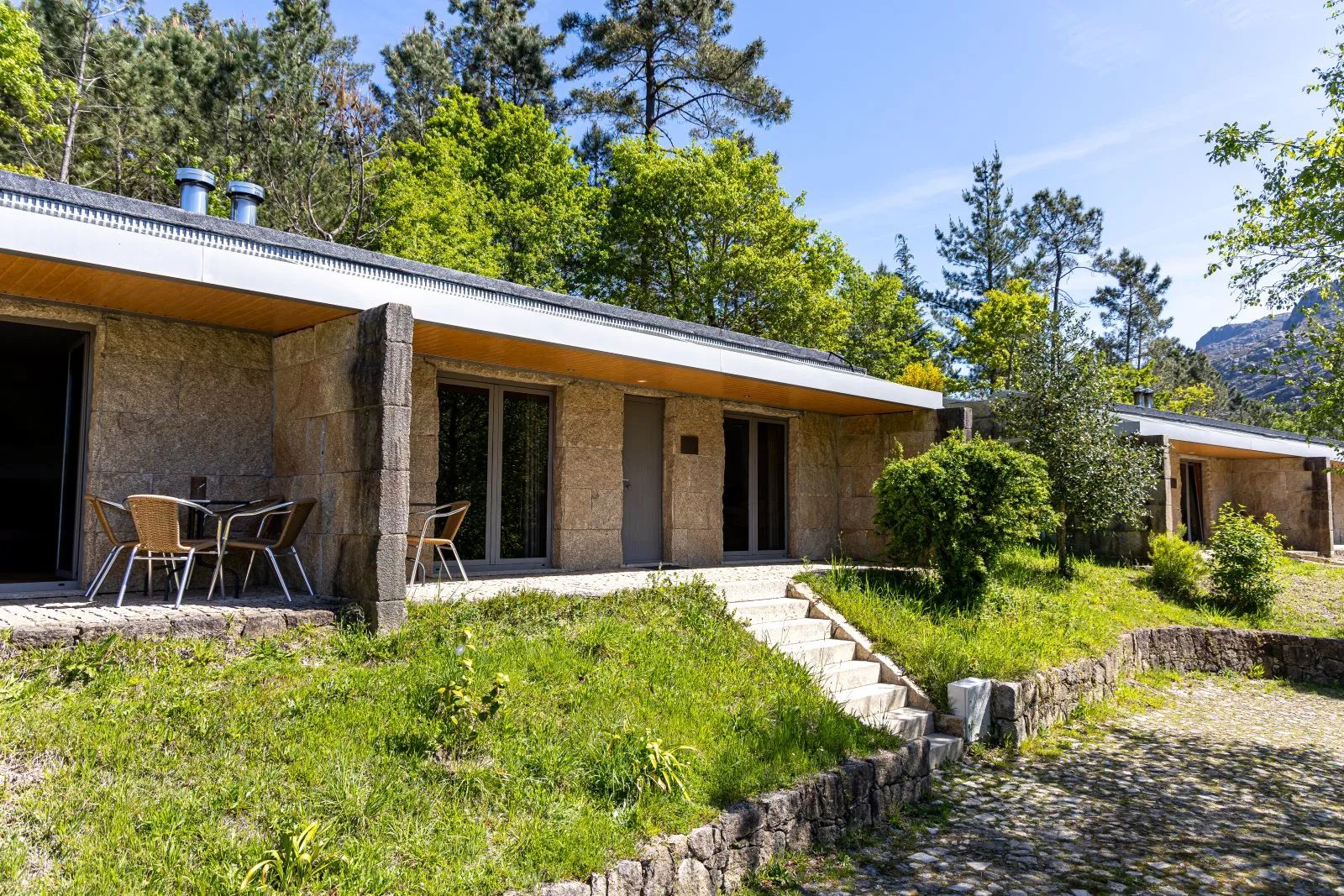
Parque Cerdeira
- Natural Parks
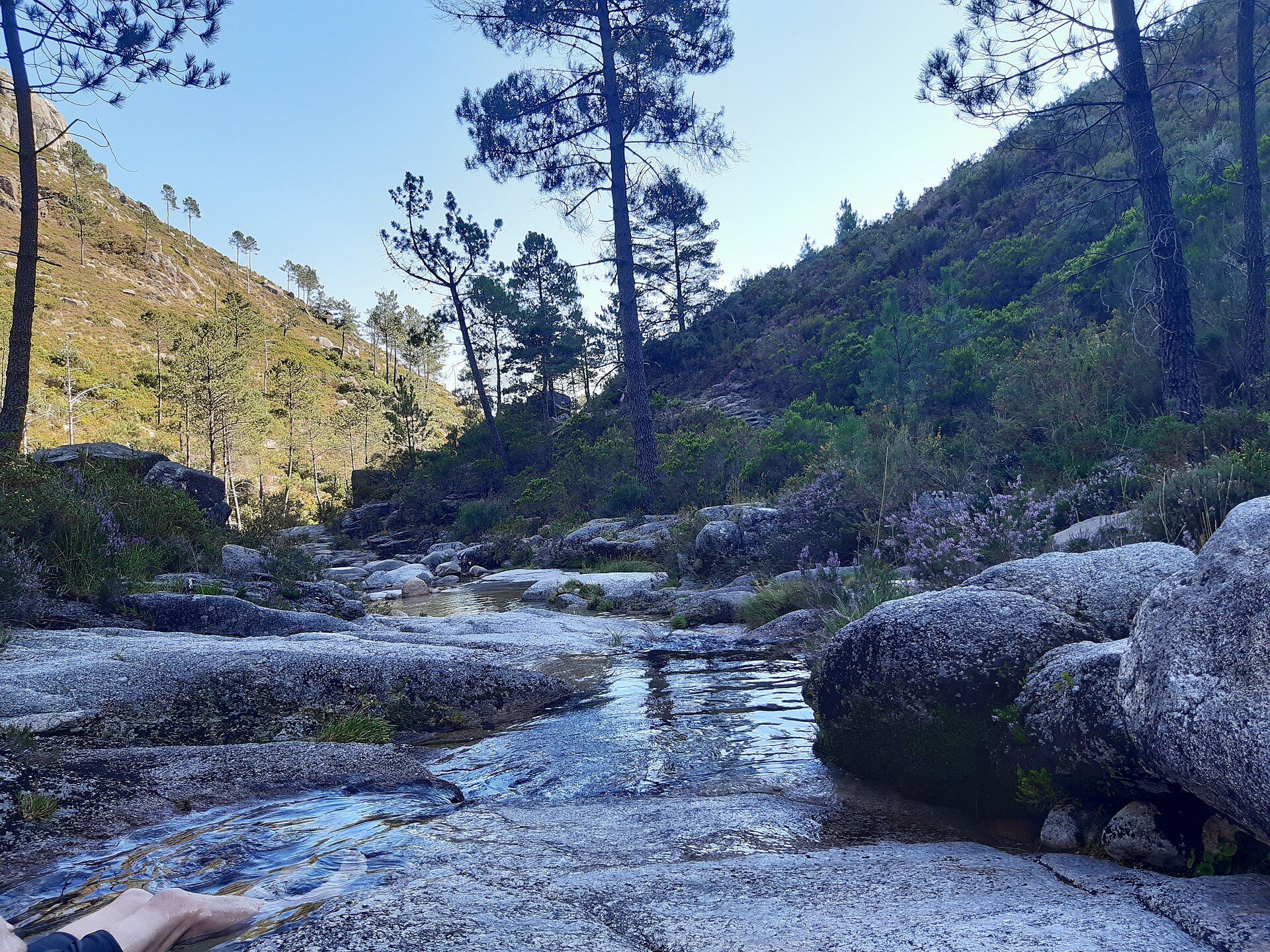
Peneda-Gerês National Park
- Eco Stays
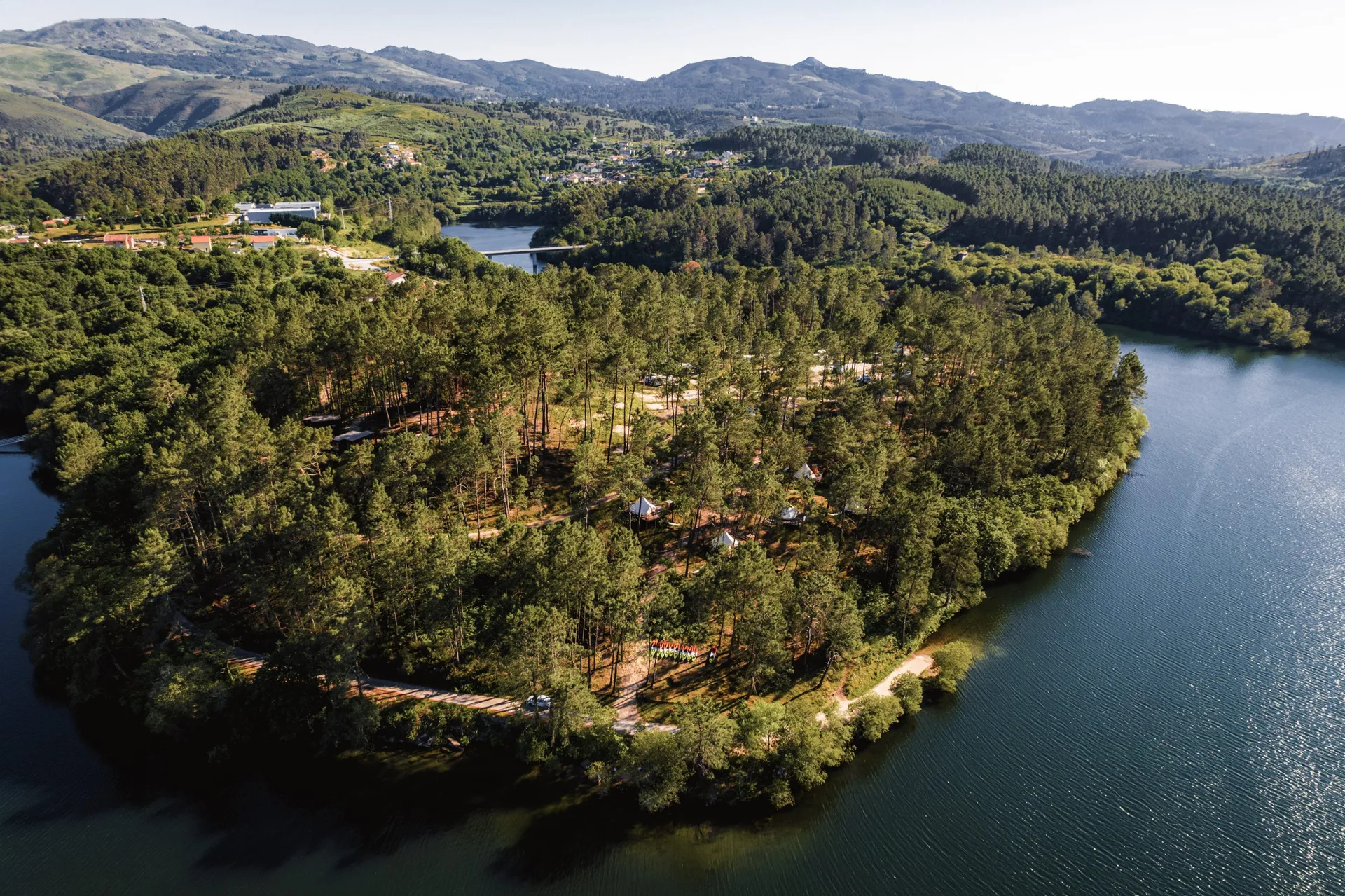
Lima Escape Camping & Glamping
- Nature Trails

Turio Trail (PR4 VRM Percurso do Turio)
- Eco Stays

Sobrenatura – Ecotourism Houses
- Agritourism
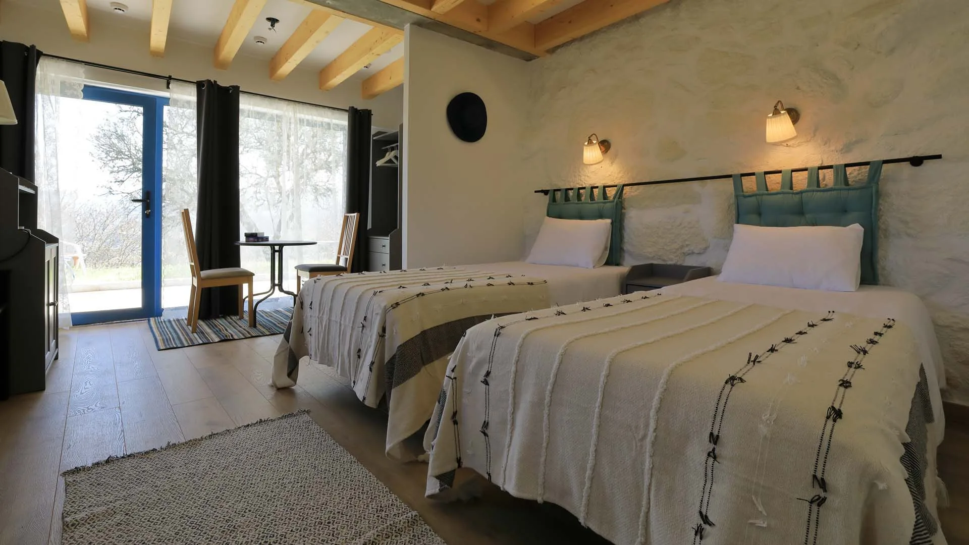
Quinta Ecológica da Peneda
- Traditional Crafts

Teciborda
- Eco Stays
Quinta Lamosa
Photos from travellers
Sent by people who have been here.
No traveller photos yet. Been here? Share yours.
More places in Nature Trails
- Nature Trails
Frecha da Mizarela Trail
- Nature Trails
Sete Vales Suspensos Trail (Seven Hanging Valleys)
- Nature Trails
Levada das 25 Fontes Trail (PR 6)
- Nature Trails
Vereda da Ponta de São Lourenço Trail (PR 8)
- Nature Trails
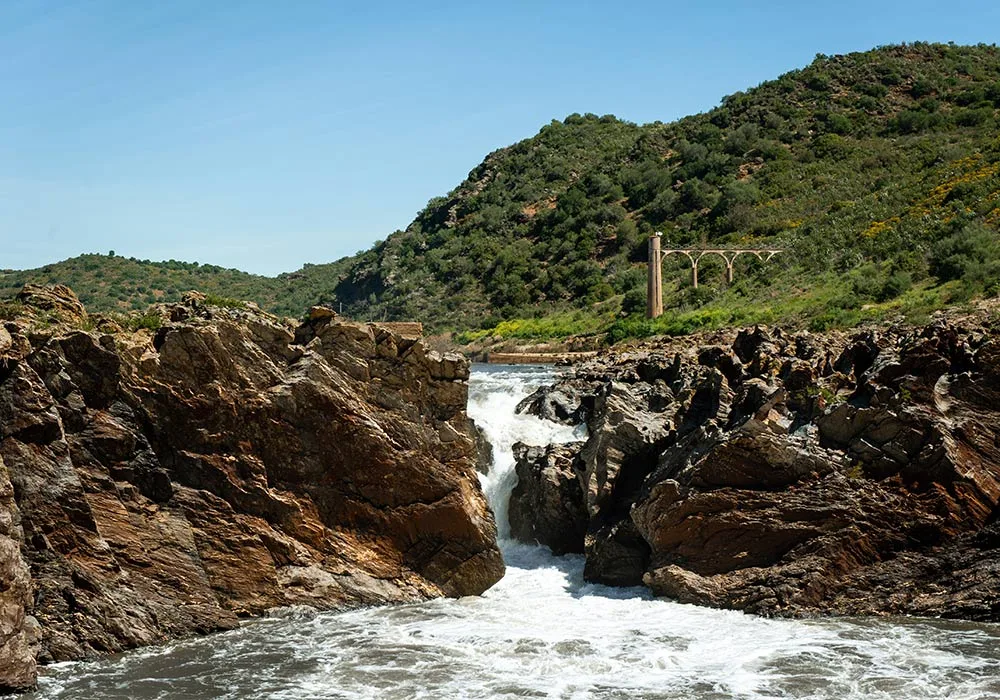
PR9 Between the Escalda and Pulo do Lobo
- Nature Trails
Sanguinho and Salto do Prego Trail (PRC 09 SMI)
- Nature Trails
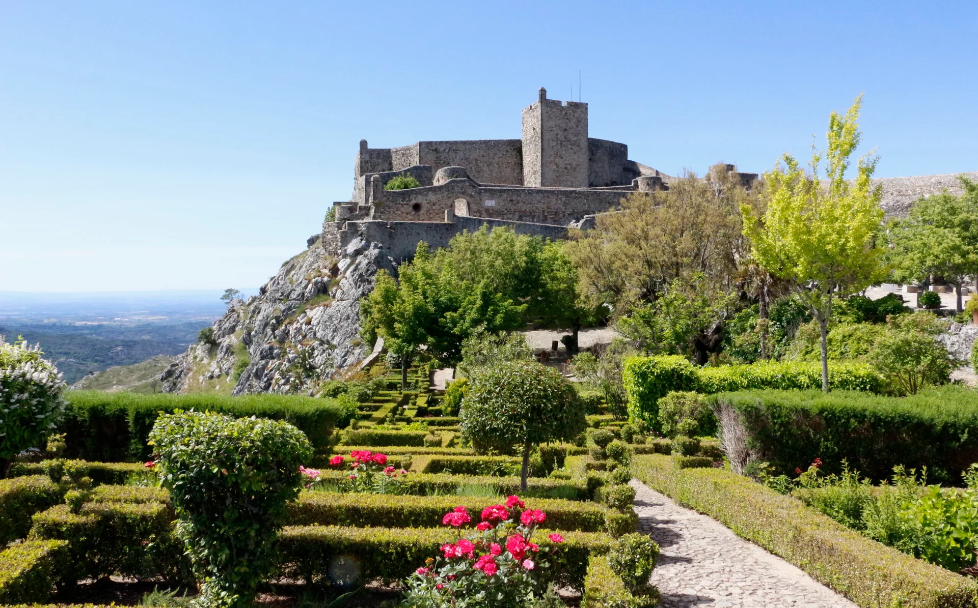
Marvão Walking Trail (PR1 MRV)
- Nature Trails
Conhal Trails (PR4 NIS Trilhos do Conhal)
- Nature Trails
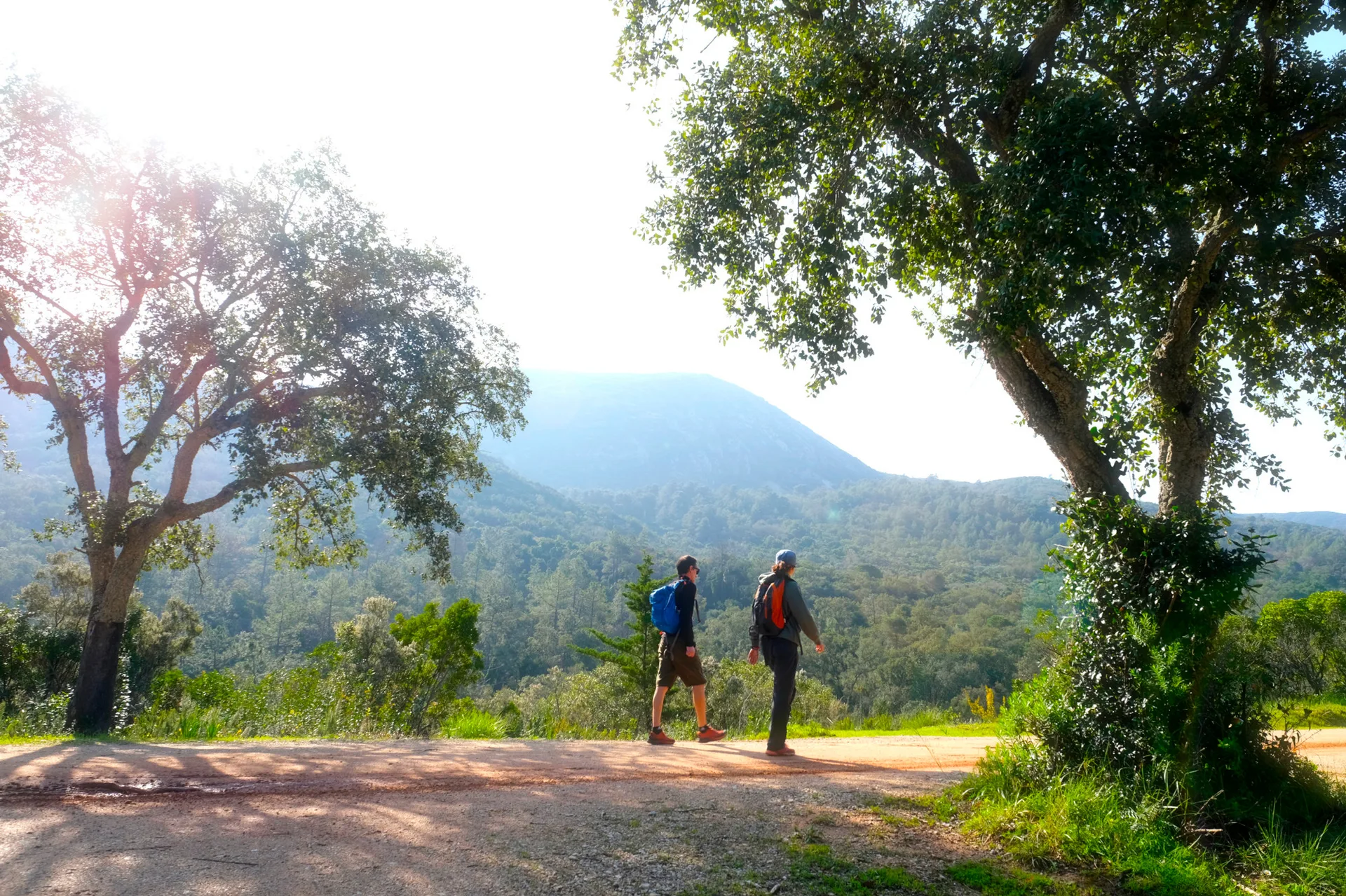
Alto do Formosinho Trail (PR2 STB)
- Nature Trails
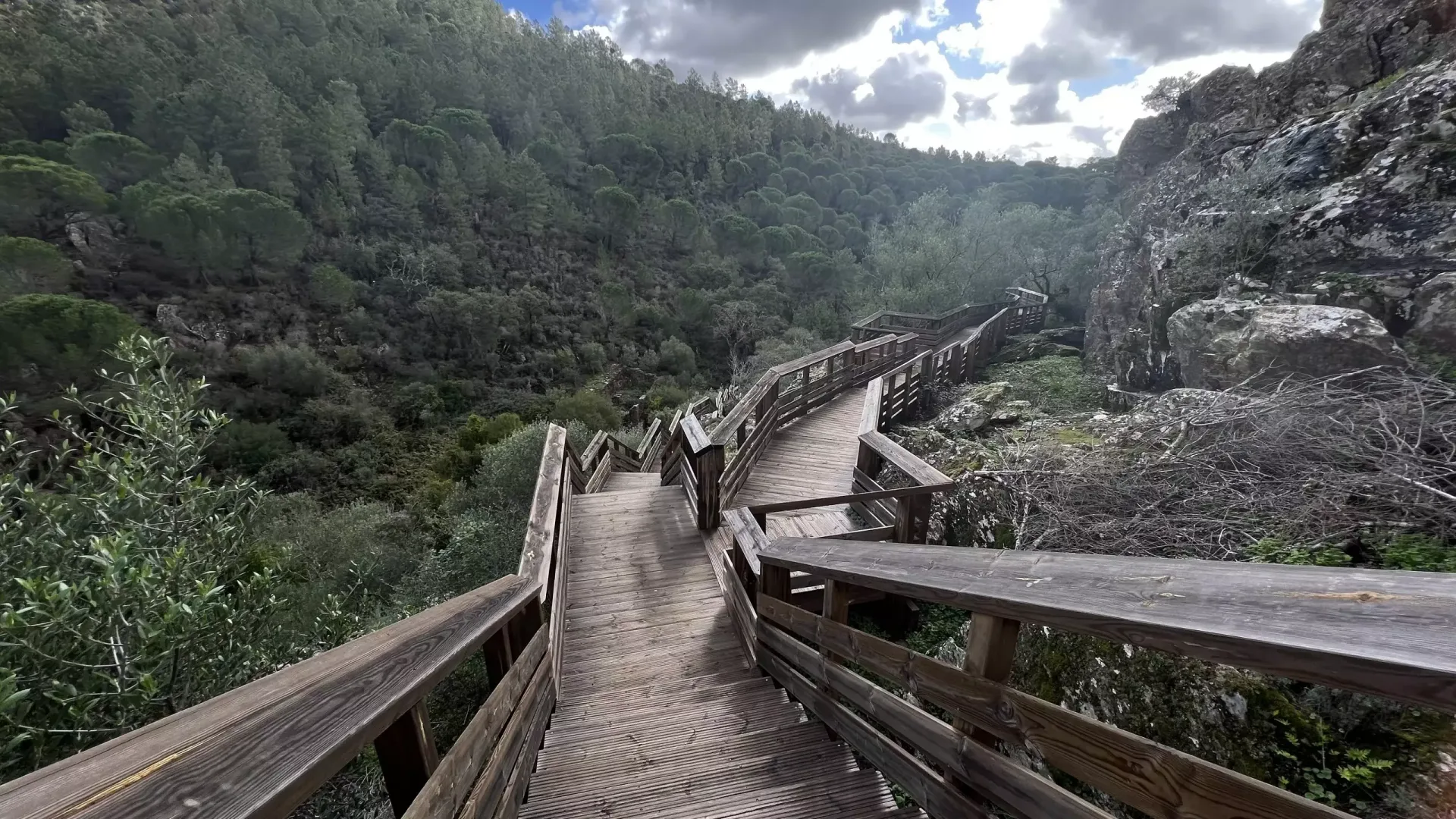
Serra d'Ossa Boardwalks
- Nature Trails
Foz Azul Reserve Trail (PR13 TVD)
- Nature Trails

Rota dos Fósseis Fossil Trail (PR3 IDN)
- Nature Trails

Rota dos Moinhos Watermills Trail (PR1 LSA)
- Nature Trails

Fragas de São Simão Trail
- Nature Trails

Agroal Boardwalk (Passadiço do Agroal)
- Nature Trails

Orvalho GeoRoute (PR3 OLR GeoRota do Orvalho)
- Nature Trails

Rio Marão Trail (PR6 Rio Marão)
- Nature Trails

Rota das Bétulas Birch Trail (PR2 SPS)
- Nature Trails

Mondego Walkways (Passadiços do Mondego)
- Nature Trails

Poço do Inferno Trail (PR1 MTG Rota do Poço do Inferno)
- Nature Trails
Castrejo Trail (PR3 Trilho Castrejo)
- Nature Trails
Fisgas de Ermelo Trail (PR3 MDB)
- Nature Trails
Faia da Água Alta Waterfall Trail (PR4 MGD)
- Nature Trails
Rio de Onor Trail (PR11 BGC O Lado Português de Rio de Onor)
- Nature Trails
Pincho Trail (PR5 Trilho do Pincho)
- Nature Trails
Fonte Benémola Trail (PR16 LLE)
- Nature Trails
Santa Clara to the Dam Trail (De Santa Clara à Barragem)
- Nature Trails
Serra do Topo – Caldeira de Santo Cristo – Fajã dos Cubres Trail (PR01 SJO)
- Nature Trails
Between the Neiva and the Atlantic Trail (PR1 EPS Entre o Neiva e o Atlântico)
- Nature Trails
Turio Trail (PR4 VRM Percurso do Turio)
Travellers' notes
Tips and experiences from people who have been here.
No notes yet. Be the first to share a tip.