A 9.45 km waymarked loop in the Serra da Arada, São Pedro do Sul, from the birch grove at Fraguinha over the open ridge and down to the stone villages of Candal and Póvoa das Leiras, returning along a centuries-old water channel.
About this place
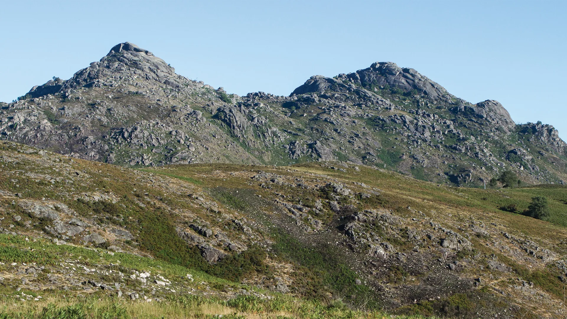
The Rota das Bétulas is route PR2 SPS of the municipality of São Pedro do Sul, in the district of Viseu. It starts at Retiro da Fraguinha, a campsite beside the birch grove that gives the trail its name, and climbs to the top of the Serra da Arada, one of the ranges of the Gralheira massif. The regional tourism portal gives a circular route of 9.45 km, three and a half hours and 443 metres of accumulated climb. The leaflet presents it as a registered and approved small route, and its map places it within the Serras da Freita e Arada site of the Natura 2000 network.
On the ridge, free-ranging cattle are a common sight, and the viewpoint over the Escura stream opens onto bare mountains of low, rough scrub cut by deep valleys. A long, winding descent on an old path cut into the granite leads to Candal. Candal and Póvoa das Leiras face each other across the Paivô stream, surrounded by farmed terraces and with many traditional raised granaries still in use; between the two villages the path crosses an old, dense oak wood.
The way back to the Fraguinha lagoon follows, from Póvoa das Leiras, a long water channel that has supplied these villages for centuries. The portal warns that this stretch is narrow, with a very steep slope beside it. It also explains the name of the trail: the birch enriches the soil with nutrients and growth hormones, helping other plants, and oaks in particular, to establish themselves.
The portal grades physical effort and terrain at 3 on a scale of 1 to 5. The leaflet's code of conduct asks walkers to follow the marked trail, respect nature, people and private property, carry a map or GPS track, avoid walking alone and check the weather and civil protection warnings. The start is at Fraguinha, high in the Serra da Arada, reached by mountain road, for example from Manhouce. The leaflet and the GPS track are linked from the municipal walking page.
Location
Viseu40.8325, -8.1587
Nearby
- Outdoor Fun

Bioparque de Carvalhais (Pisão Forest Park)
- Nature Trails
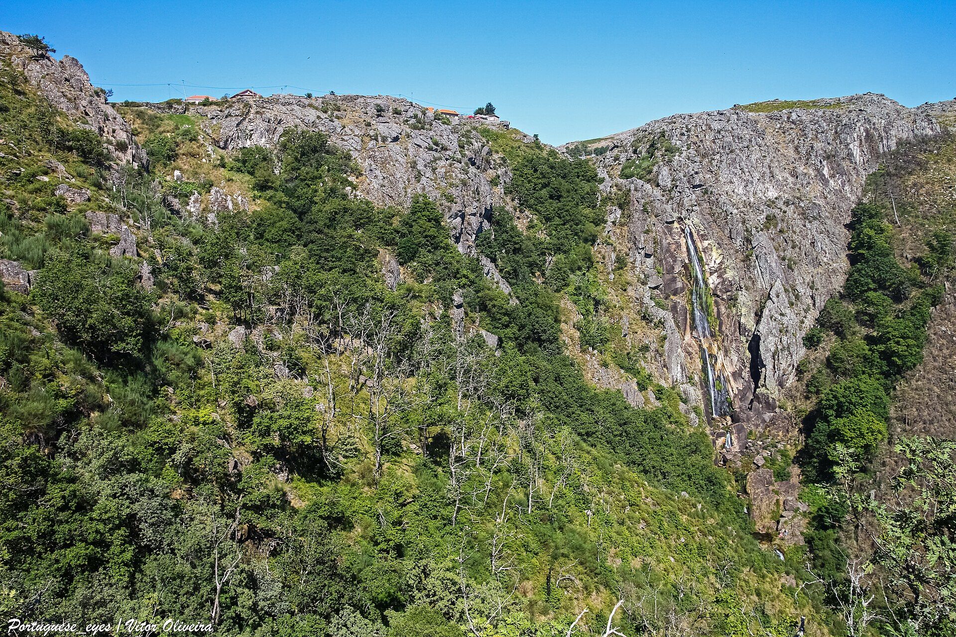
Frecha da Mizarela Trail
- Greenways

Arda Greenway
- Agritourism

Quinta da Comenda
- Outdoor Fun

Clube do Paiva
- Eco Stays
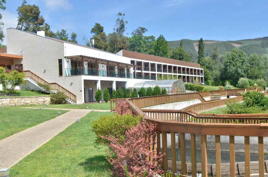
Vale do Rio Eco Hotel
- Greenways
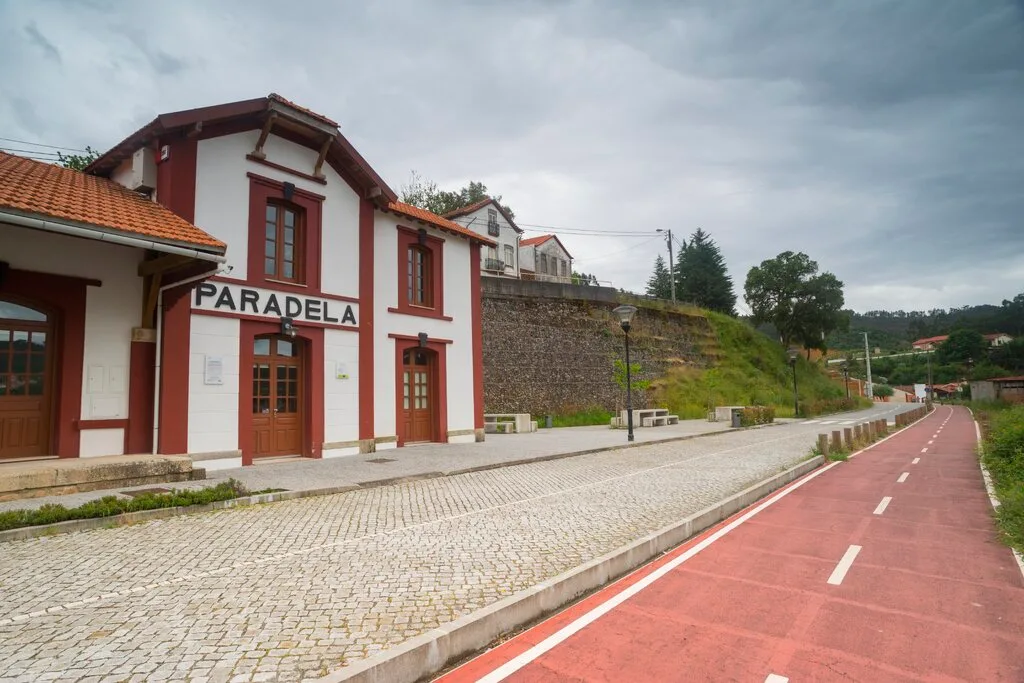
Vouga Greenway
- Traditional Crafts
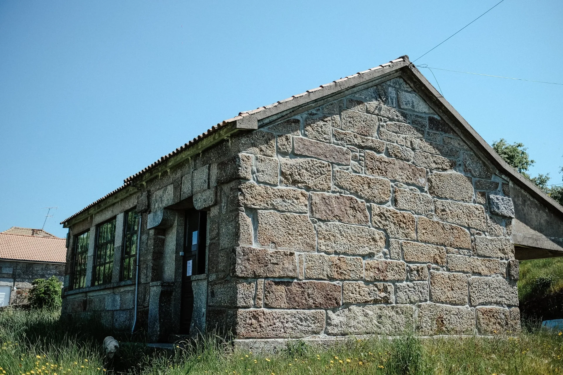
Capuchinhas – Montemuro Weaving Cooperative
Photos from travellers
Sent by people who have been here.
No traveller photos yet. Been here? Share yours.
More places in Nature Trails
- Nature Trails
Frecha da Mizarela Trail
- Nature Trails
Sete Vales Suspensos Trail (Seven Hanging Valleys)
- Nature Trails
Levada das 25 Fontes Trail (PR 6)
- Nature Trails
Vereda da Ponta de São Lourenço Trail (PR 8)
- Nature Trails
PR9 Between the Escalda and Pulo do Lobo
- Nature Trails
Sanguinho and Salto do Prego Trail (PRC 09 SMI)
- Nature Trails
Marvão Walking Trail (PR1 MRV)
- Nature Trails
Conhal Trails (PR4 NIS Trilhos do Conhal)
- Nature Trails
Alto do Formosinho Trail (PR2 STB)
- Nature Trails
Serra d'Ossa Boardwalks
- Nature Trails
Foz Azul Reserve Trail (PR13 TVD)
- Nature Trails

Rota dos Fósseis Fossil Trail (PR3 IDN)
- Nature Trails

Rota dos Moinhos Watermills Trail (PR1 LSA)
- Nature Trails

Fragas de São Simão Trail
- Nature Trails

Agroal Boardwalk (Passadiço do Agroal)
- Nature Trails

Orvalho GeoRoute (PR3 OLR GeoRota do Orvalho)
- Nature Trails

Rio Marão Trail (PR6 Rio Marão)
- Nature Trails

Mondego Walkways (Passadiços do Mondego)
- Nature Trails

Poço do Inferno Trail (PR1 MTG Rota do Poço do Inferno)
- Nature Trails
Castrejo Trail (PR3 Trilho Castrejo)
- Nature Trails
Cidade da Calcedónia Trail (PR1 TBR)
- Nature Trails
Fisgas de Ermelo Trail (PR3 MDB)
- Nature Trails
Faia da Água Alta Waterfall Trail (PR4 MGD)
- Nature Trails
Rio de Onor Trail (PR11 BGC O Lado Português de Rio de Onor)
- Nature Trails
Pincho Trail (PR5 Trilho do Pincho)
Travellers' notes
Tips and experiences from people who have been here.
No notes yet. Be the first to share a tip.