Natural park of about 87,000 hectares along the stretch of the river Douro that forms the border with Spain, in north-east Portugal. Deep river canyons, vultures and eagles nesting on the cliffs, traditional dovecotes and the Mirandese-speaking plateau.
About this place
Douro Internacional Natural Park follows the river Douro where it forms the border between Portugal and Spain, and the lower river Águeda further south. Created in May 1998, it covers about 87,000 hectares in four municipalities: Miranda do Douro, Mogadouro and Freixo de Espada à Cinta, in the district of Bragança, and Figueira de Castelo Rodrigo, in the district of Guarda. For roughly 120 kilometres the river runs in a deep, narrow valley between steep rock walls, known locally as arribas, cut into a plateau that lies at 600 to 800 metres. Altitudes range from 125 metres near Barca d'Alva to 895 metres close to the northern border.
The cliffs are the reason for the park. They shelter one of the most important communities of cliff-nesting birds in Portugal and in the Iberian Peninsula: Egyptian vulture, the park's symbol, griffon vulture, golden eagle, Bonelli's eagle and black stork all breed here. Holm oak, known locally as carrasco, dominates the vegetation, with juniper woods, cork oak and patches of Pyrenean oak. On the Spanish bank, the Arribes del Duero Natural Park protects a further 106,000 hectares, so the canyon is safeguarded on both sides of the border.
Few people live here, and farming and livestock remain the main activities. Traditional dovecotes, which once supplied manure and food, dot the fields and are now valued for their part in conserving wild birds of prey. Around Miranda do Douro people speak Mirandese, recognised since 1999 as Portugal's second official language. Almond trees blossom in February and March in the warmer south of the park, and in autumn oaks, chestnuts and vineyards change colour.
Waymarked routes include the walk from Miranda do Douro to São João das Arribas, a circuit of about 25 kilometres also open to cyclists and riders, the Ribeira do Mosteiro valley walk near Freixo de Espada à Cinta, of about 7 kilometres, the route from Almofala to Santo André das Arribas, of about 11 kilometres, and a short path to the Faia da Água Alta waterfall. Boat trips run on the reservoirs of the Douro. From Porto or Vila Real, take the A4 motorway towards Bragança and then the IC5 road, which has exits for Freixo de Espada à Cinta, Bemposta, Sendim and Miranda do Douro; from the south, the N221 road leads from Guarda through Pinhel to Figueira de Castelo Rodrigo. The park has its head office in Mogadouro and information signs throughout.
Location
Bragança41.2064, -6.7383
Nearby
- Traditional Crafts
Silk and Territory Museum – Freixo de Espada à Cinta
- Nature Trails
Faia da Água Alta Waterfall Trail (PR4 MGD)
- Craft Food

Quinta Mourisca
- Outdoor Fun
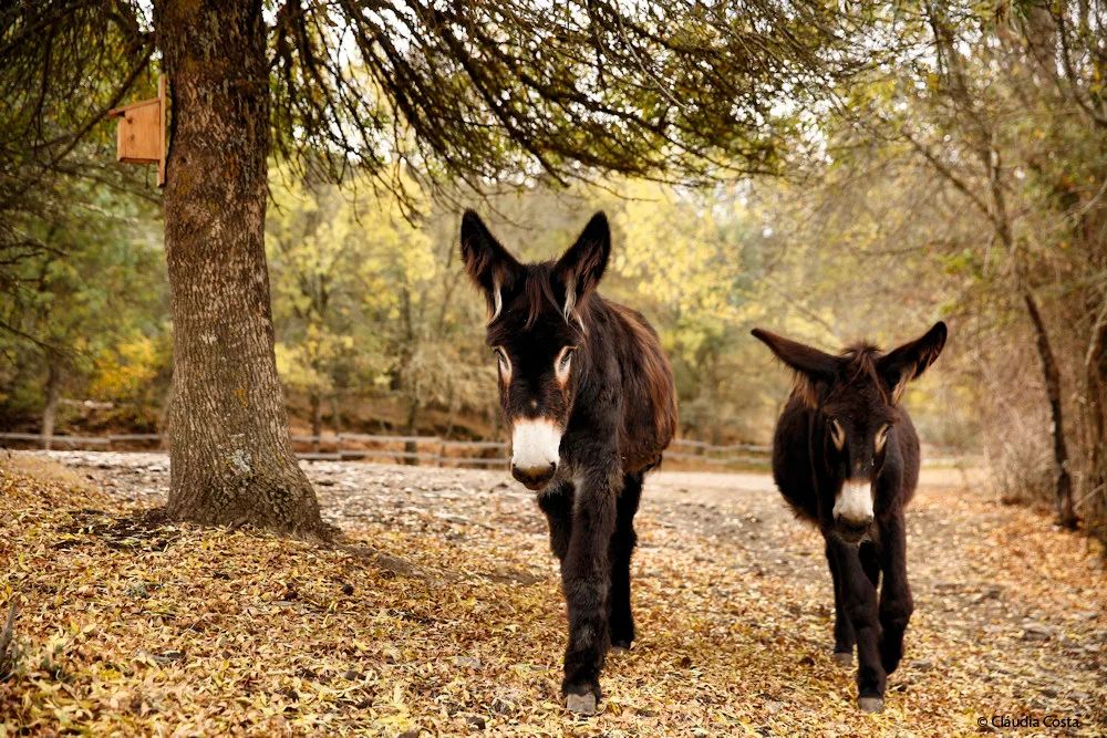
Miranda Donkey Centre (Centro de Valorização do Burro de Miranda)
- Greenways
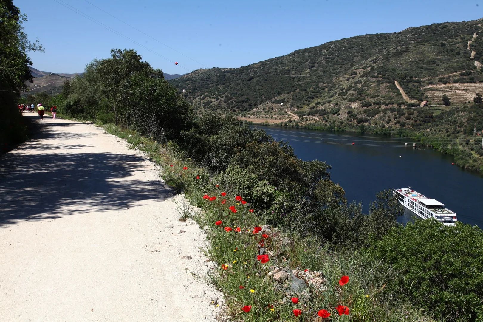
Sabor Greenway
- Agritourism

Quinta Acushla
- Craft Food

CARM – Casa Agrícola Roboredo Madeira
- Traditional Crafts

Cutelaria Martins – Palaçoulo Knife Makers
Photos from travellers
Sent by people who have been here.
No traveller photos yet. Been here? Share yours.
More places in Natural Parks
- Natural Parks
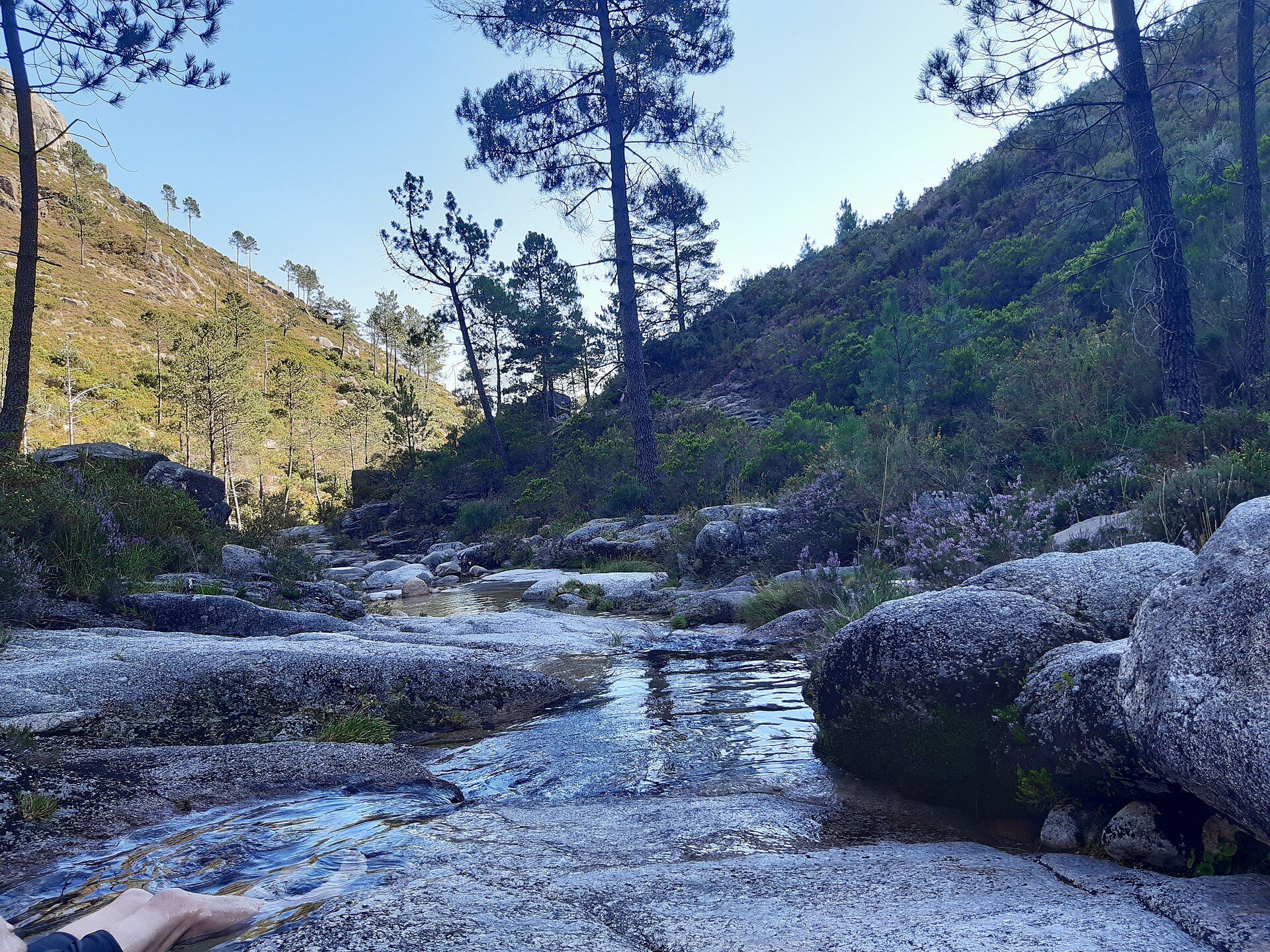
Peneda-Gerês National Park
- Natural Parks
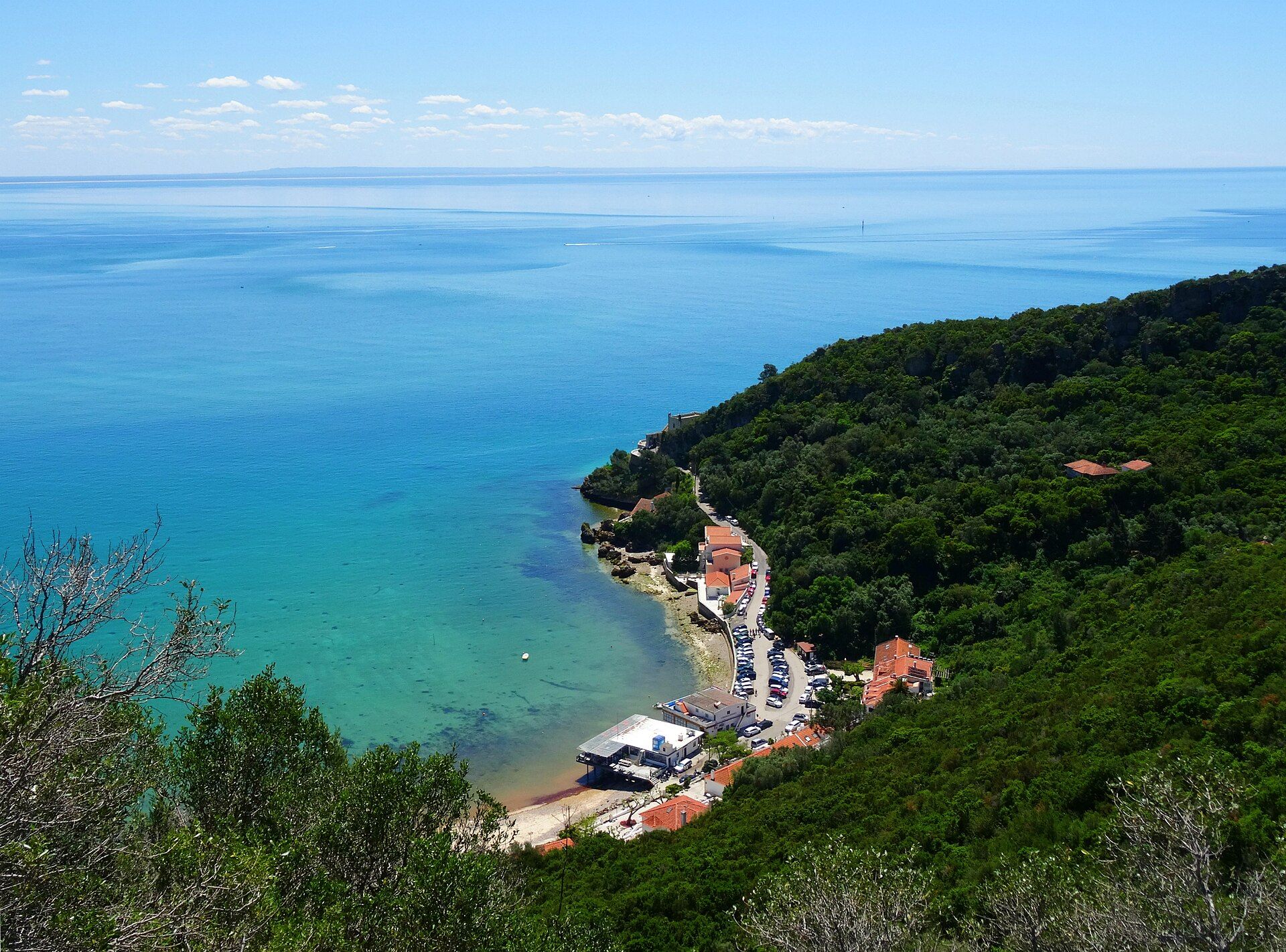
Arrábida Natural Park
- Natural Parks
Vale do Guadiana Natural Park
- Natural Parks
Ria Formosa Natural Park
- Natural Parks
Sudoeste Alentejano e Costa Vicentina Natural Park
- Natural Parks
Madeira Natural Park
- Natural Parks
São Miguel Natural Park
- Natural Parks
Serra de São Mamede Natural Park
- Natural Parks
Lagoas de Bertiandos e São Pedro de Arcos Protected Landscape
- Natural Parks
Corno de Bico Protected Landscape
- Natural Parks
Sintra-Cascais Natural Park
- Natural Parks
Serra de Montejunto Protected Landscape
- Natural Parks
Serras de Aire e Candeeiros Natural Park
- Natural Parks

Tejo Internacional Natural Park
- Natural Parks

Serra do Açor Protected Landscape
- Natural Parks

Serra da Estrela Natural Park
- Natural Parks
Serra da Gardunha Regional Protected Landscape
- Natural Parks
Serras do Porto Park
- Natural Parks

Litoral de Vila do Conde and Mindelo Ornithological Reserve Regional Protected Landscape
- Natural Parks
Alvão Natural Park
- Natural Parks
Montesinho Natural Park
- Natural Parks
Litoral Norte Natural Park
- Natural Parks
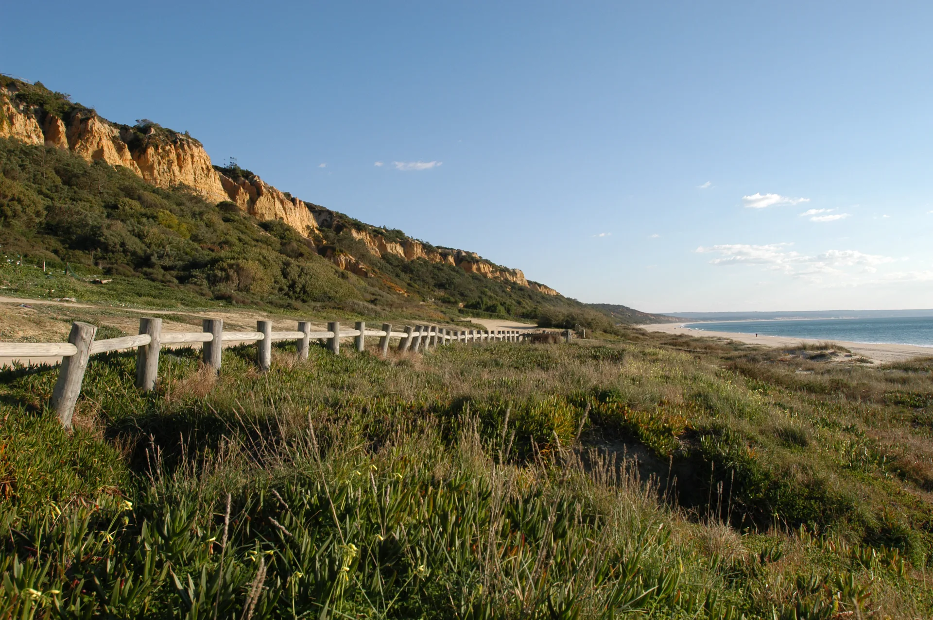
Arriba Fóssil da Costa da Caparica Protected Landscape
- Natural Parks

Albufeira do Azibo Protected Landscape
- Natural Parks
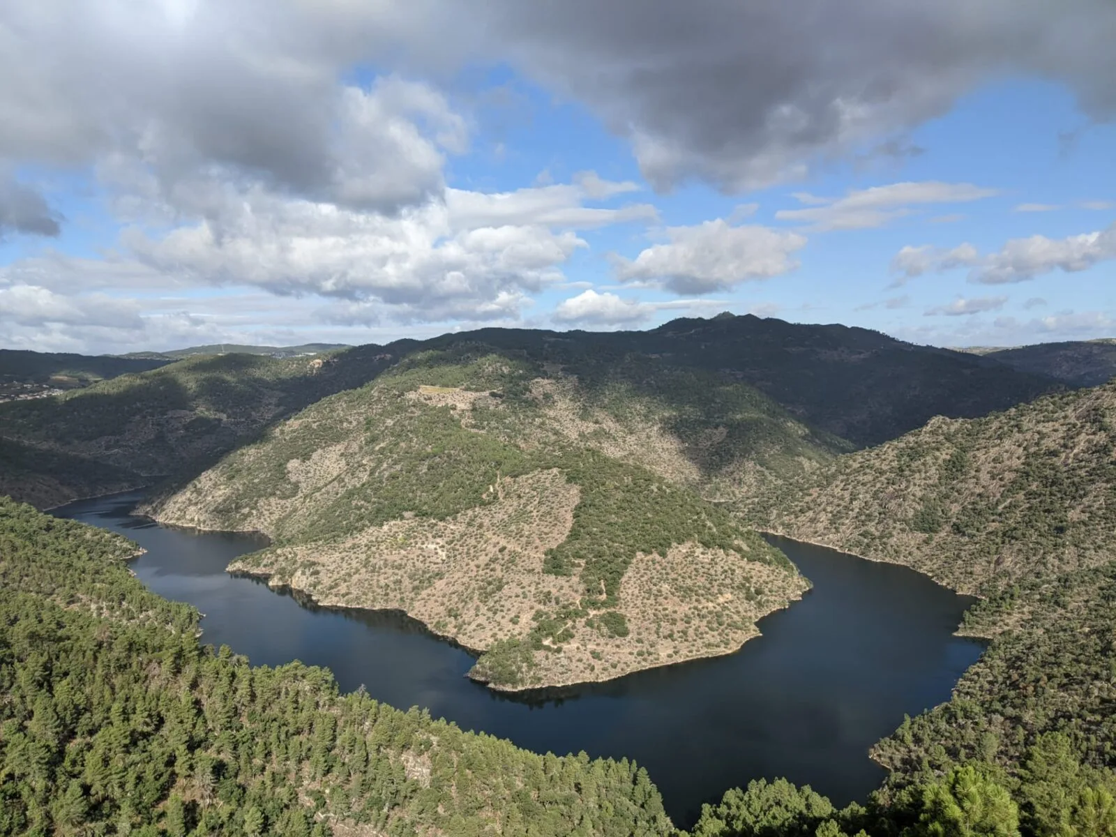
Vale do Tua Regional Natural Park
- Natural Parks
Serras do Socorro e Archeira Local Protected Landscape
Travellers' notes
Tips and experiences from people who have been here.
No notes yet. Be the first to share a tip.