A demanding 12.4 km waymarked loop from the village of Ermelo, in the Alvão Natural Park, around the Fisgas de Ermelo waterfalls of the river Olo, with natural pools above and below the falls.
About this place
PR3 Fisgas de Ermelo is a small route of the municipality of Mondim de Basto, in the district of Vila Real, opened in 2016 inside the Alvão Natural Park. It starts and ends beside the parish church of Ermelo. The official leaflet gives a circular walk of 12.4 km and about four and a half hours, graded difficult, between 327 and 771 metres of altitude and with 652 metres of accumulated climb. The route is registered and approved and carries the usual red and yellow waymarks.
The Fisgas de Ermelo are the best known site of the natural park. Here the river Olo drops through hard quartzite rock, which the municipality dates to about 480 million years, in a series of falls with a total drop of around 400 metres. Marks left by extinct marine organisms can be seen in the rock. Above and below the falls the river forms pools of clear water known as piocas, used for bathing in summer.
From Ermelo the path goes down to the Fervença stream and then climbs for a long way towards Varzigueto, with wide views of the park and of the falls; a side path leads to the Piocas de Cima. After Varzigueto the route crosses the Olo, reaches the Fisgas viewpoint, continues to Fojo and descends to the river, passing the turn-off to the Piocas de Baixo, before crossing the Abelheira bridge and climbing back to Ermelo. The villages are built of schist and slate and surrounded by hay meadows; Maronesa cattle and herds of Bravia goats are often seen.
The leaflet says the trail can be walked all year, recommends spring and autumn, and warns of high temperatures in summer and slippery ground in winter. Much of the climb has no shade, so carry plenty of water. Walkers are asked to keep to the waymarked path, light no fire, leave no litter and not to disturb animals or pick plants. Ermelo lies on national road 304, between Mondim de Basto and Vila Real.
Location
Vila Real41.3604, -7.8893
Nearby
- Natural Parks
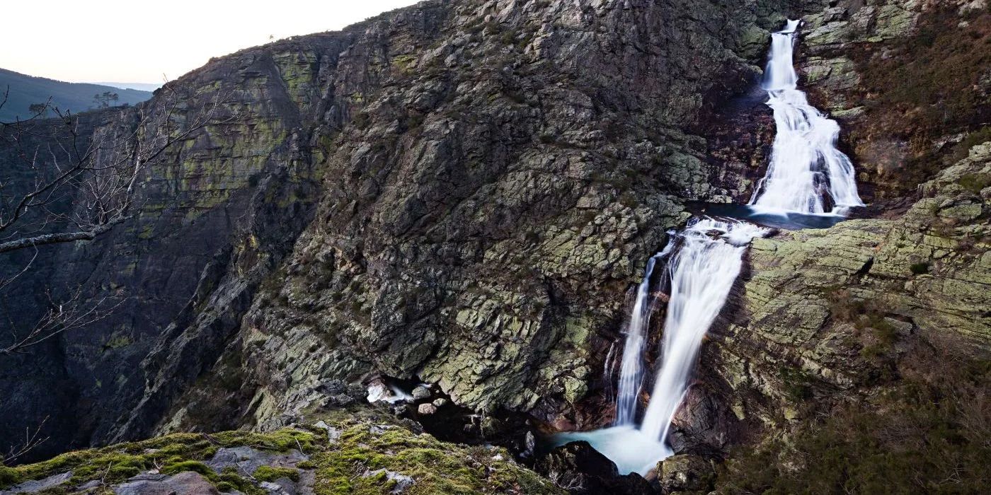
Alvão Natural Park
- Agritourism
Quinta das Escomoeiras
- Traditional Crafts
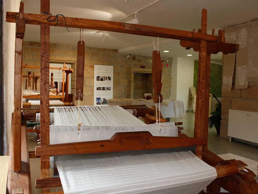
Museu do Linho – Limões Linen Museum
- Nature Trails

Rio Marão Trail (PR6 Rio Marão)
- Eco Stays
Casa Agrícola da Levada Eco Village
- Ecoparks
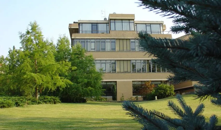
UTAD Botanical Garden
- Greenways
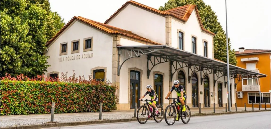
Corgo Greenway
- Greenways
Tâmega Greenway
Photos from travellers
Sent by people who have been here.
No traveller photos yet. Been here? Share yours.
More places in Nature Trails
- Nature Trails
Frecha da Mizarela Trail
- Nature Trails
Sete Vales Suspensos Trail (Seven Hanging Valleys)
- Nature Trails
Levada das 25 Fontes Trail (PR 6)
- Nature Trails
Vereda da Ponta de São Lourenço Trail (PR 8)
- Nature Trails
PR9 Between the Escalda and Pulo do Lobo
- Nature Trails
Sanguinho and Salto do Prego Trail (PRC 09 SMI)
- Nature Trails
Marvão Walking Trail (PR1 MRV)
- Nature Trails
Conhal Trails (PR4 NIS Trilhos do Conhal)
- Nature Trails
Alto do Formosinho Trail (PR2 STB)
- Nature Trails
Serra d'Ossa Boardwalks
- Nature Trails
Foz Azul Reserve Trail (PR13 TVD)
- Nature Trails

Rota dos Fósseis Fossil Trail (PR3 IDN)
- Nature Trails

Rota dos Moinhos Watermills Trail (PR1 LSA)
- Nature Trails

Fragas de São Simão Trail
- Nature Trails

Agroal Boardwalk (Passadiço do Agroal)
- Nature Trails

Orvalho GeoRoute (PR3 OLR GeoRota do Orvalho)
- Nature Trails
Rio Marão Trail (PR6 Rio Marão)
- Nature Trails

Rota das Bétulas Birch Trail (PR2 SPS)
- Nature Trails

Mondego Walkways (Passadiços do Mondego)
- Nature Trails

Poço do Inferno Trail (PR1 MTG Rota do Poço do Inferno)
- Nature Trails
Castrejo Trail (PR3 Trilho Castrejo)
- Nature Trails
Cidade da Calcedónia Trail (PR1 TBR)
- Nature Trails
Faia da Água Alta Waterfall Trail (PR4 MGD)
- Nature Trails
Rio de Onor Trail (PR11 BGC O Lado Português de Rio de Onor)
- Nature Trails
Pincho Trail (PR5 Trilho do Pincho)
- Nature Trails
Fonte Benémola Trail (PR16 LLE)
- Nature Trails
Santa Clara to the Dam Trail (De Santa Clara à Barragem)
- Nature Trails
Serra do Topo – Caldeira de Santo Cristo – Fajã dos Cubres Trail (PR01 SJO)
- Nature Trails
Between the Neiva and the Atlantic Trail (PR1 EPS Entre o Neiva e o Atlântico)
- Nature Trails

Turio Trail (PR4 VRM Percurso do Turio)
Travellers' notes
Tips and experiences from people who have been here.
No notes yet. Be the first to share a tip.