An easy 9.7 km waymarked loop from the mountain village of Montaria, in the Serra d'Arga near Viana do Castelo, along the river Âncora to old watermills, natural pools and the Pincho waterfall.
About this place
The Trilho do Pincho is small route PR5 of the municipal walking network of Viana do Castelo, promoted by the parish of Montaria and presented by the Litoral de Viana do Castelo Geopark. It starts and ends at Largo do Souto, in the centre of São Lourenço da Montaria, beside the Porta do Sítio da Serra d'Arga, where information on the trail network is available. The official sheet gives a circular walk of 9.7 km and two hours forty minutes, graded easy, between 100 and 290 metres of altitude, waymarked according to international guidelines.
The route first shares the path used by pilgrims heading for São João d'Arga and reaches the former forest nursery, where there is a picnic park beside the river Âncora. The river rises in the Serra d'Arga and, with its falls, pools and varied fauna and flora, belongs to the Natura 2000 network. The trail follows its banks towards Espantar, past old watermills, some of them restored, and then runs between cultivated fields to the turn-off for the Cascata do Pincho, a waterfall that drops into a green pool where people bathe in summer.
From the waterfall, country paths lined with fields and patches of woodland lead back to Montaria, a mountain village on the western slope of the range where houses of schist and granite stand among farming terraces, irrigation channels and mills. The last stretch passes the Moinhos da Costa watermills and the parish church and Calvary before returning to the starting point.
The leaflet asks walkers to keep to the waymarked path, respect private property, take litter away, leave plants, animals and rocks untouched, take care with cattle and light no fire in the critical fire season. The rocks beside the river and the falls are slippery when wet and call for care. Montaria is a little over half an hour by car from Viana do Castelo, by the A28 motorway and national road 305.
Location
Viana do Castelo41.7913, -8.7287
Nearby
- Natural Parks
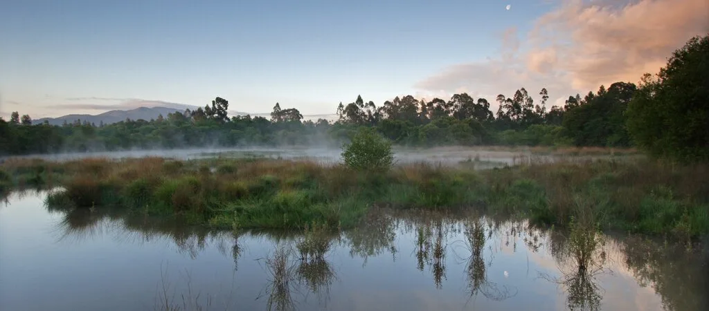
Lagoas de Bertiandos e São Pedro de Arcos Protected Landscape
- Traditional Crafts
Isilda Parente – Viana Embroidery Atelier
- Restaurants

Orelha d'Elefante
- Organic Shops

BioÂncora
- Greenways

Lima River Greenway
- Restaurants

Casulo Cocoon
- Outdoor Fun
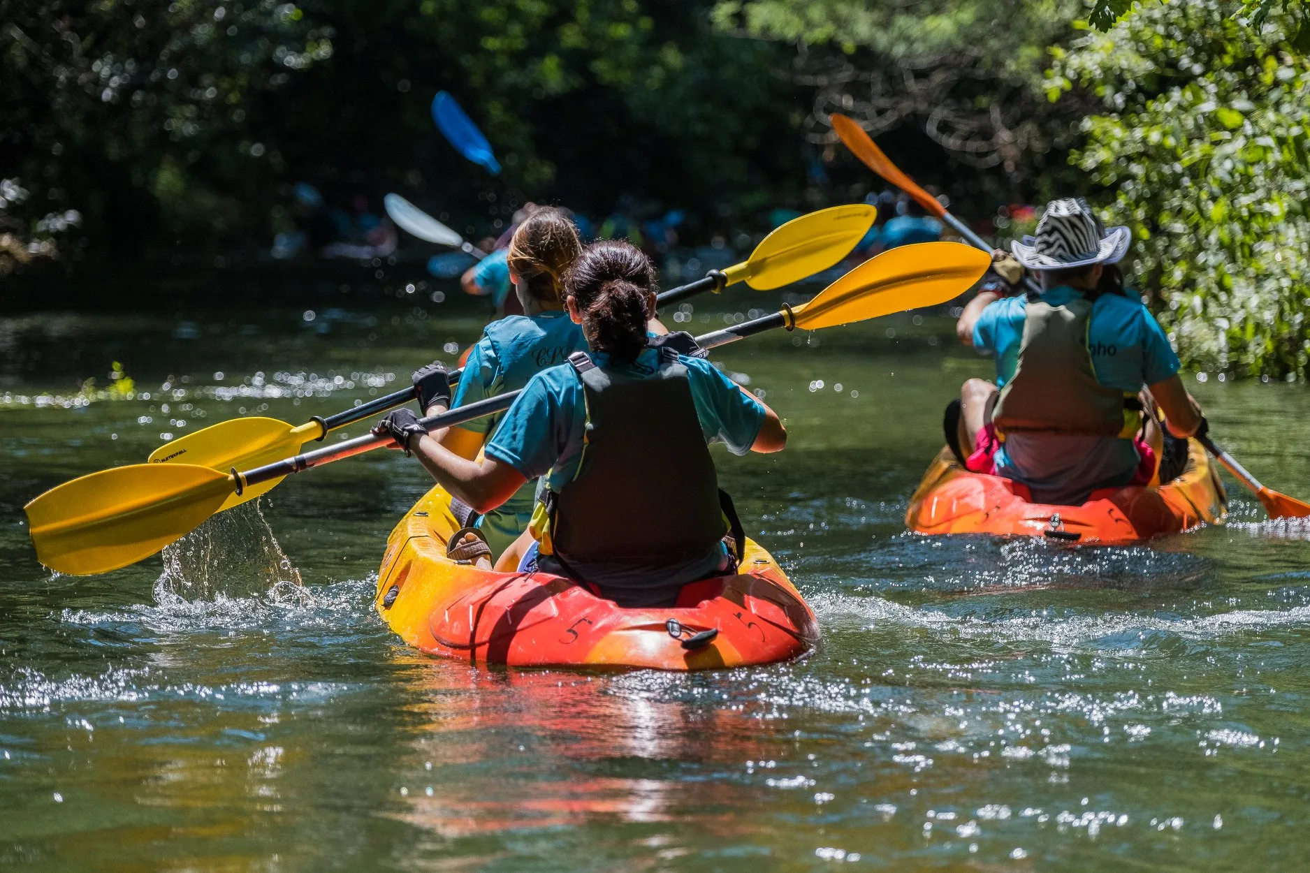
MinhAventura
- Traditional Crafts
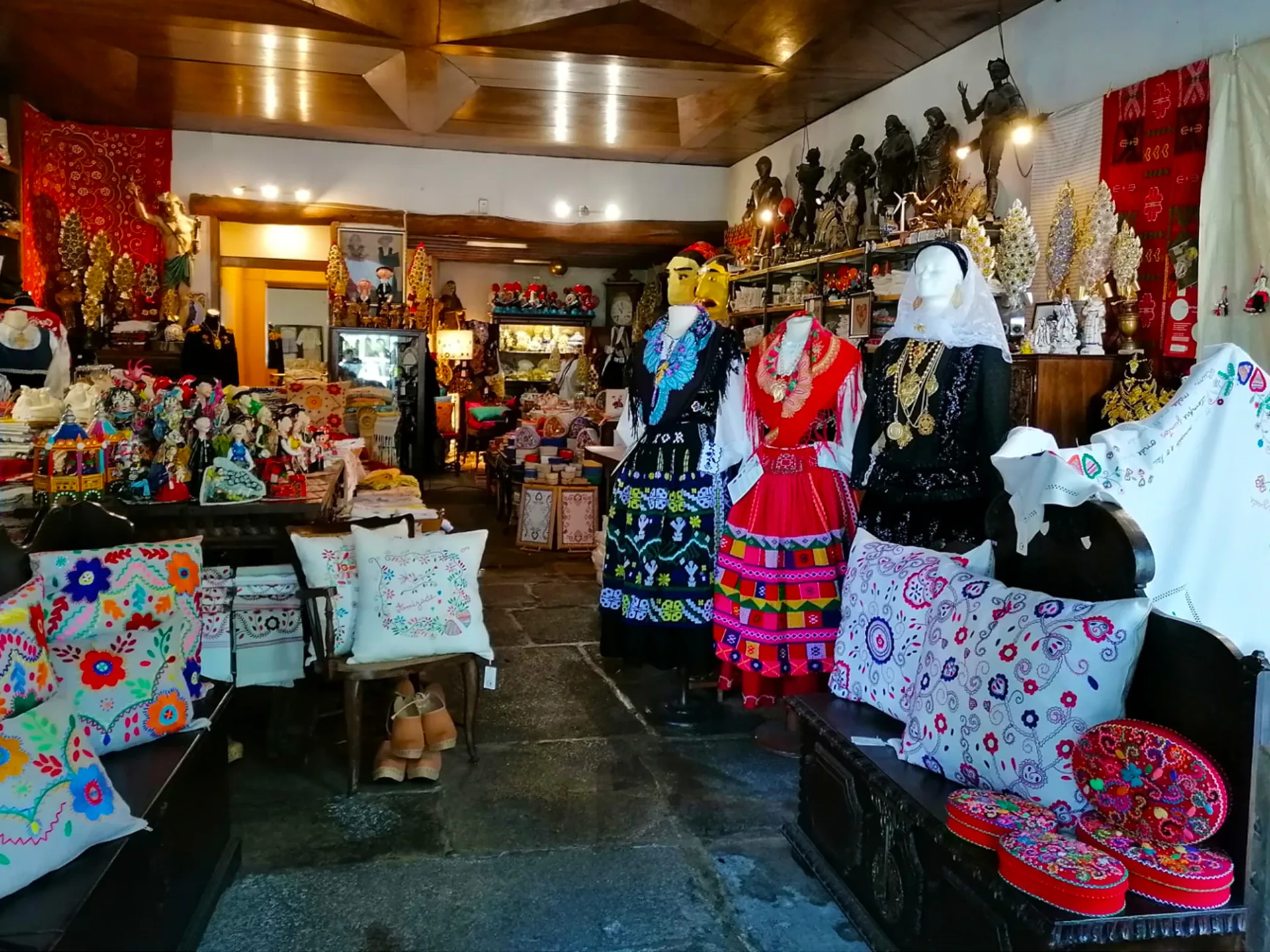
Casa Sandra – Viana Embroidery Shop
Photos from travellers
Sent by people who have been here.
No traveller photos yet. Been here? Share yours.
More places in Nature Trails
- Nature Trails
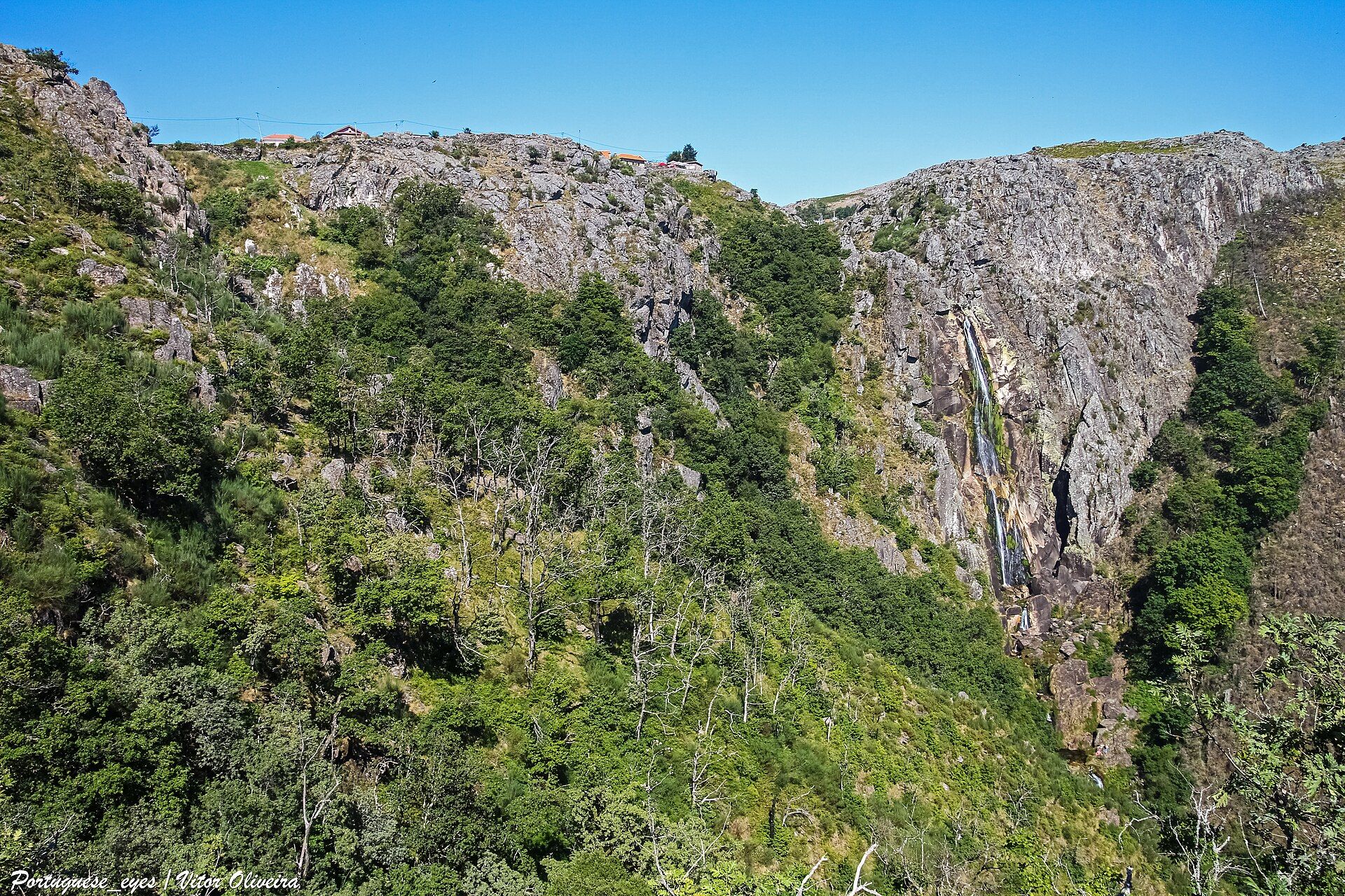
Frecha da Mizarela Trail
- Nature Trails
Sete Vales Suspensos Trail (Seven Hanging Valleys)
- Nature Trails
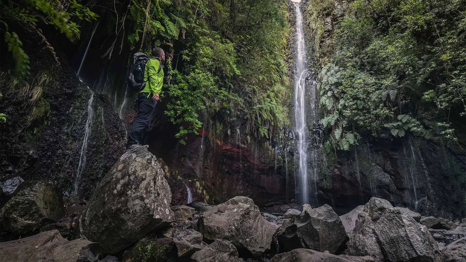
Levada das 25 Fontes Trail (PR 6)
- Nature Trails
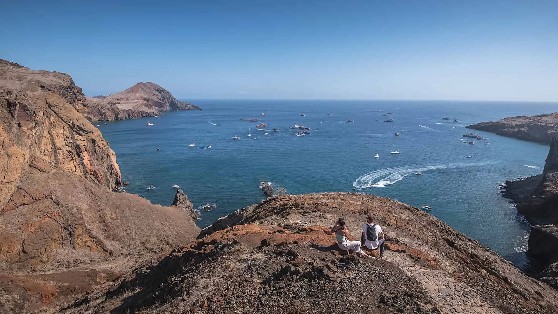
Vereda da Ponta de São Lourenço Trail (PR 8)
- Nature Trails
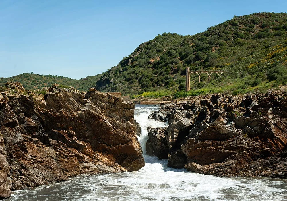
PR9 Between the Escalda and Pulo do Lobo
- Nature Trails
Sanguinho and Salto do Prego Trail (PRC 09 SMI)
- Nature Trails
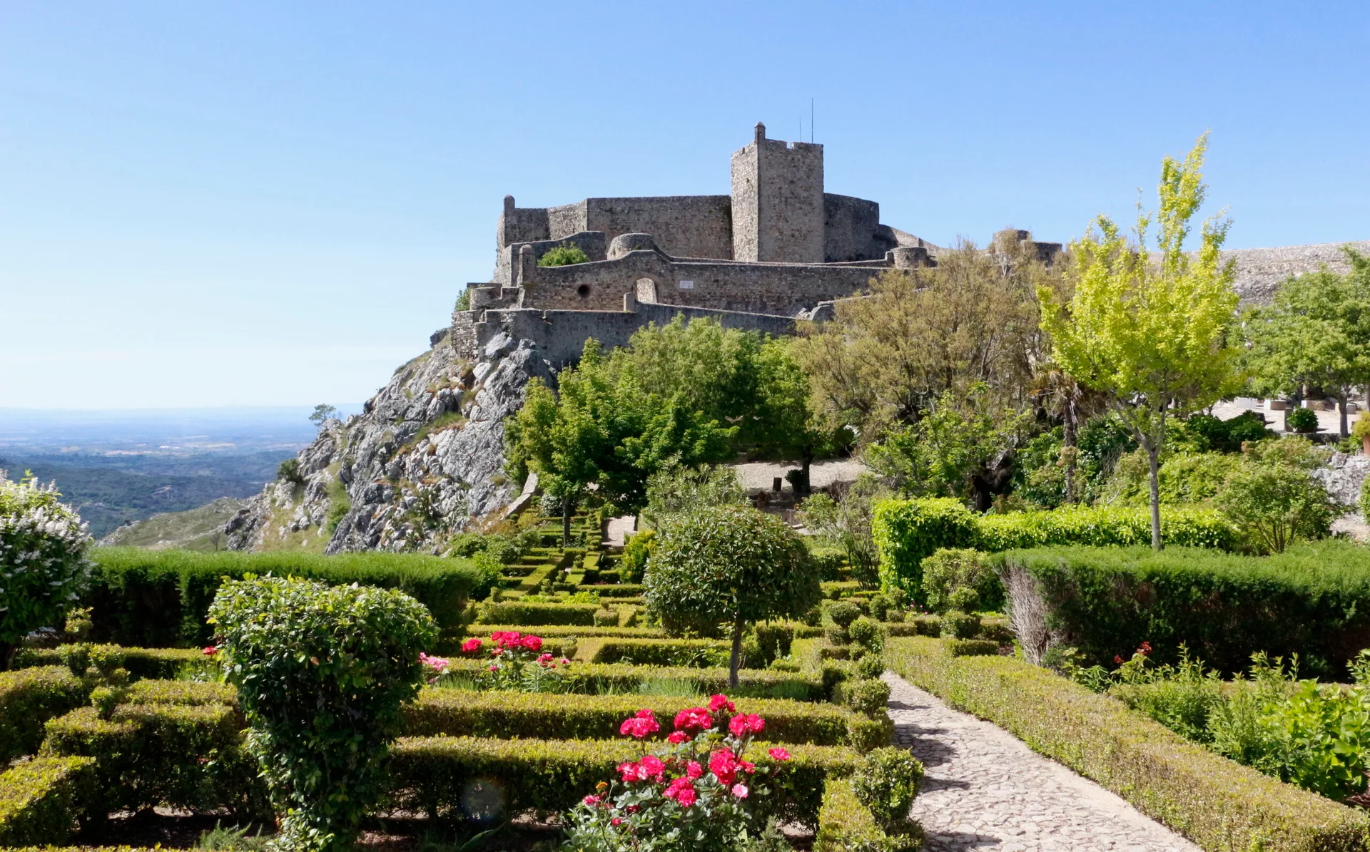
Marvão Walking Trail (PR1 MRV)
- Nature Trails
Conhal Trails (PR4 NIS Trilhos do Conhal)
- Nature Trails
Alto do Formosinho Trail (PR2 STB)
- Nature Trails
Serra d'Ossa Boardwalks
- Nature Trails
Foz Azul Reserve Trail (PR13 TVD)
- Nature Trails

Rota dos Fósseis Fossil Trail (PR3 IDN)
- Nature Trails

Rota dos Moinhos Watermills Trail (PR1 LSA)
- Nature Trails

Fragas de São Simão Trail
- Nature Trails

Agroal Boardwalk (Passadiço do Agroal)
- Nature Trails

Orvalho GeoRoute (PR3 OLR GeoRota do Orvalho)
- Nature Trails

Rio Marão Trail (PR6 Rio Marão)
- Nature Trails

Rota das Bétulas Birch Trail (PR2 SPS)
- Nature Trails

Mondego Walkways (Passadiços do Mondego)
- Nature Trails

Poço do Inferno Trail (PR1 MTG Rota do Poço do Inferno)
- Nature Trails
Castrejo Trail (PR3 Trilho Castrejo)
- Nature Trails
Cidade da Calcedónia Trail (PR1 TBR)
- Nature Trails
Fisgas de Ermelo Trail (PR3 MDB)
- Nature Trails
Faia da Água Alta Waterfall Trail (PR4 MGD)
- Nature Trails
Rio de Onor Trail (PR11 BGC O Lado Português de Rio de Onor)
Travellers' notes
Tips and experiences from people who have been here.
No notes yet. Be the first to share a tip.