Poço do Inferno Trail (PR1 MTG Rota do Poço do Inferno)
A short waymarked loop of 2.5 km in Manteigas, Serra da Estrela, around the Poço do Inferno waterfall, through mixed forest and old farm terraces with views over the Zêzere and Leandres valleys.
About this place
The Rota do Poço do Inferno is route PR1 MTG of Manteigas Trilhos Verdes, the network of waymarked walks of the municipality of Manteigas, in the district of Guarda and in the Serra da Estrela. The official leaflet describes a circular trail of 2.5 km taking about an hour and a half, between 1,081 and 1,150 metres above sea level, of medium difficulty and best walked anticlockwise. It starts and ends at the Poço do Inferno car park and is not suitable for mountain bikes.
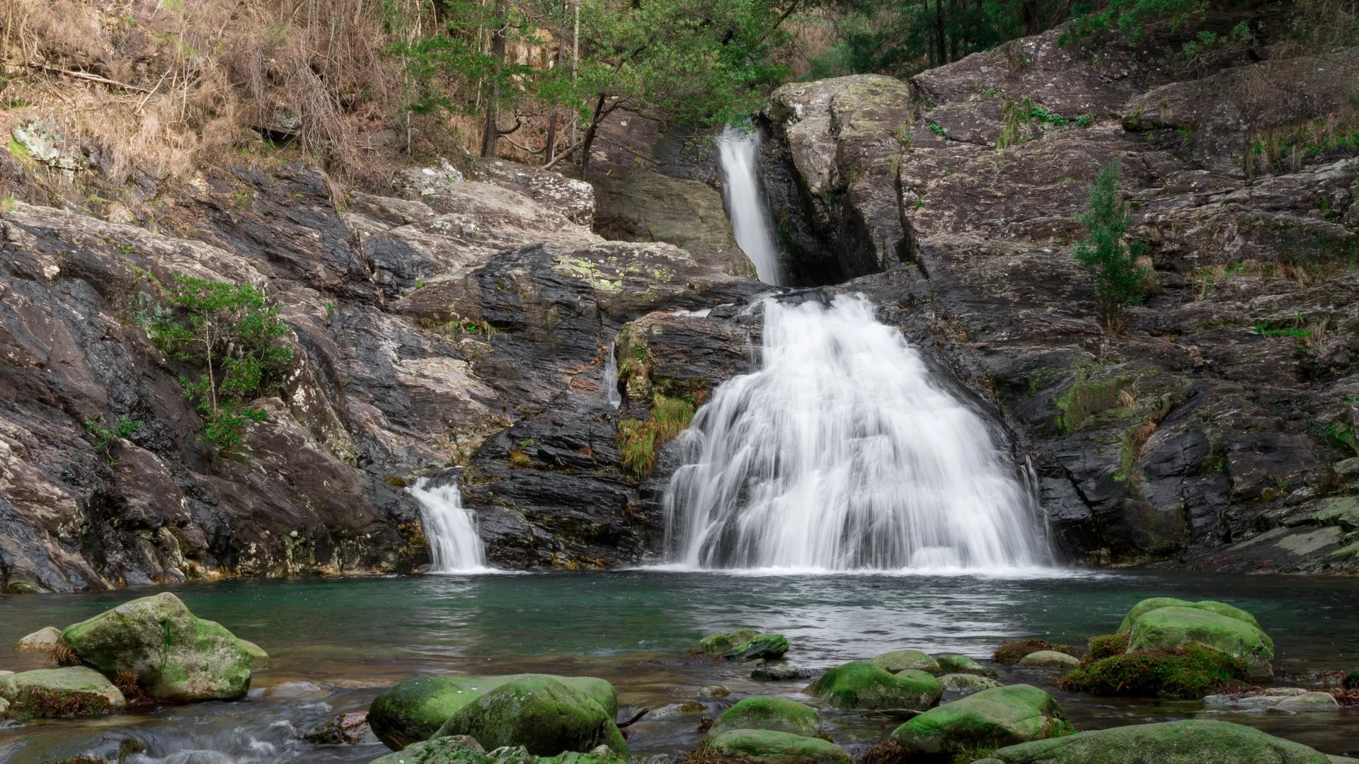
The centrepiece is the Poço do Inferno waterfall, about 10 metres high, which can freeze over in the hardest winters. The trail network presents it as a geological monument and one of the emblems of Manteigas: the steep relief comes from high schist summits of hornfels, rock altered where hot magma rose through older strata. From the path there are views over the Zêzere valley and the valley of the Leandres stream, which the route crosses, and over terraces and the small farm buildings known locally as cortes.
The official leaflet singles out plants of high ecological value along the way, including narcissi, birch, holm oak and rowan, as well as yew, which it says is extremely rare and found only in Manteigas and in the Peneda-Gerês mountains. Sycamore maple, beech, Douglas fir and fir make up much of the woodland. Animals linked to the forest and the streams include wild rabbit, fox, the golden-striped salamander, kingfisher and kestrel.
The loop is short, but walking guides warn that parts of it are steep and rocky and call for sturdy footwear and a sure foot. The start is at the Poço do Inferno car park, reached by the municipal road from the town of Manteigas, with a rest area by the waterfall. The leaflet with its map and the GPS track can be downloaded from the trail network's site.
Location
Guarda40.3736, -7.5177
Nearby
- Traditional Crafts

Burel Factory – Wool Mill in Manteigas
- Natural Parks

Serra da Estrela Natural Park
- Agritourism
Quinta da Caramuja
- Agritourism

Quinta da Sra. Marocas
- Ecoparks

Gouveia Ecological Park
- Ecoparks
Serra da Estrela Interpretation Centre (CISE)
- Nature Trails

Mondego Walkways (Passadiços do Mondego)
- Eco Stays
Chão do Rio – Village Tourism
Photos from travellers
Sent by people who have been here.
No traveller photos yet. Been here? Share yours.
More places in Nature Trails
- Nature Trails
Frecha da Mizarela Trail
- Nature Trails
Sete Vales Suspensos Trail (Seven Hanging Valleys)
- Nature Trails
Levada das 25 Fontes Trail (PR 6)
- Nature Trails
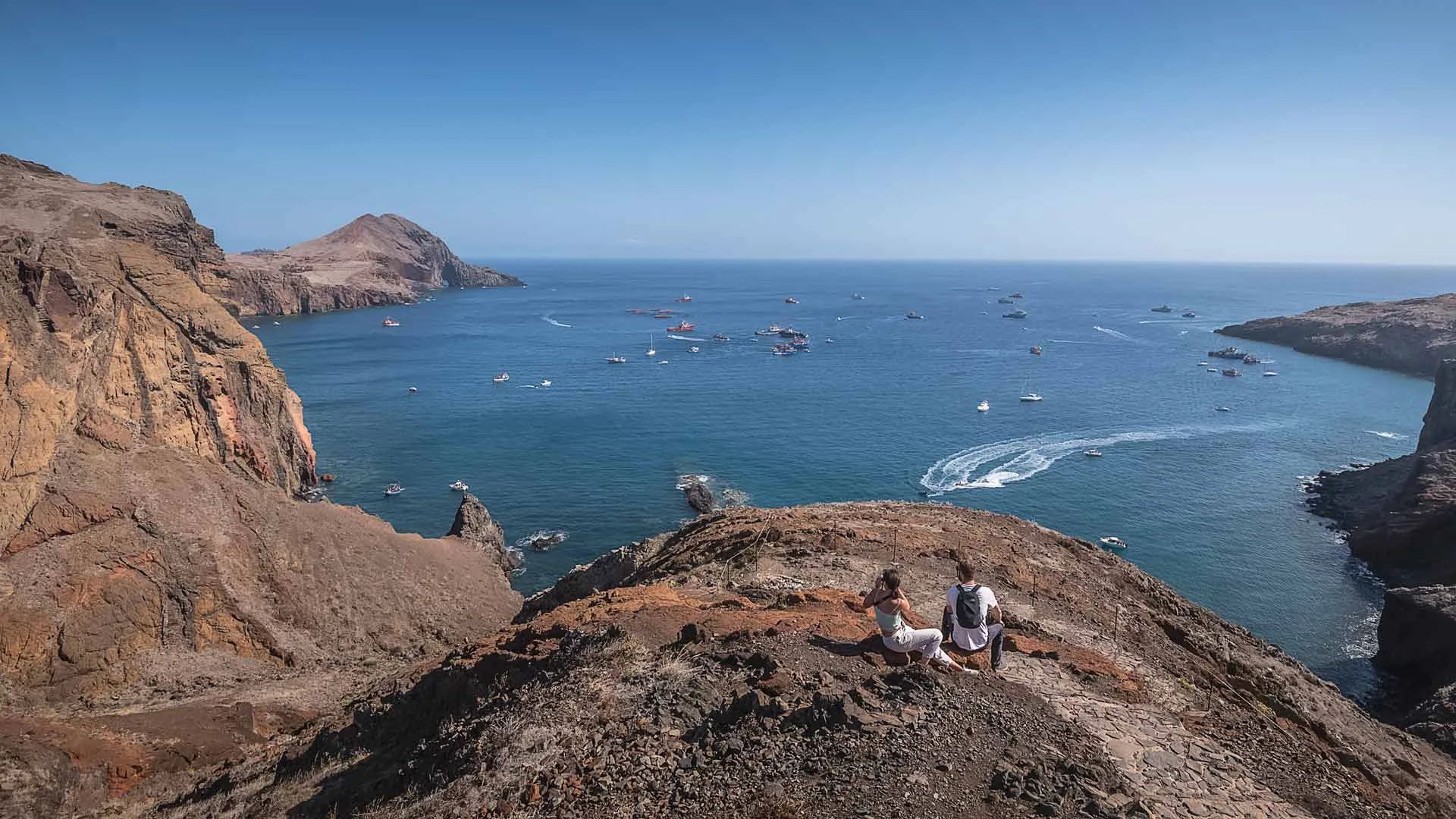
Vereda da Ponta de São Lourenço Trail (PR 8)
- Nature Trails
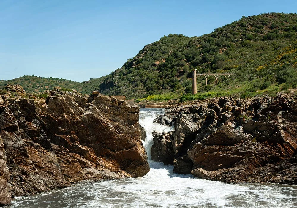
PR9 Between the Escalda and Pulo do Lobo
- Nature Trails
Sanguinho and Salto do Prego Trail (PRC 09 SMI)
- Nature Trails
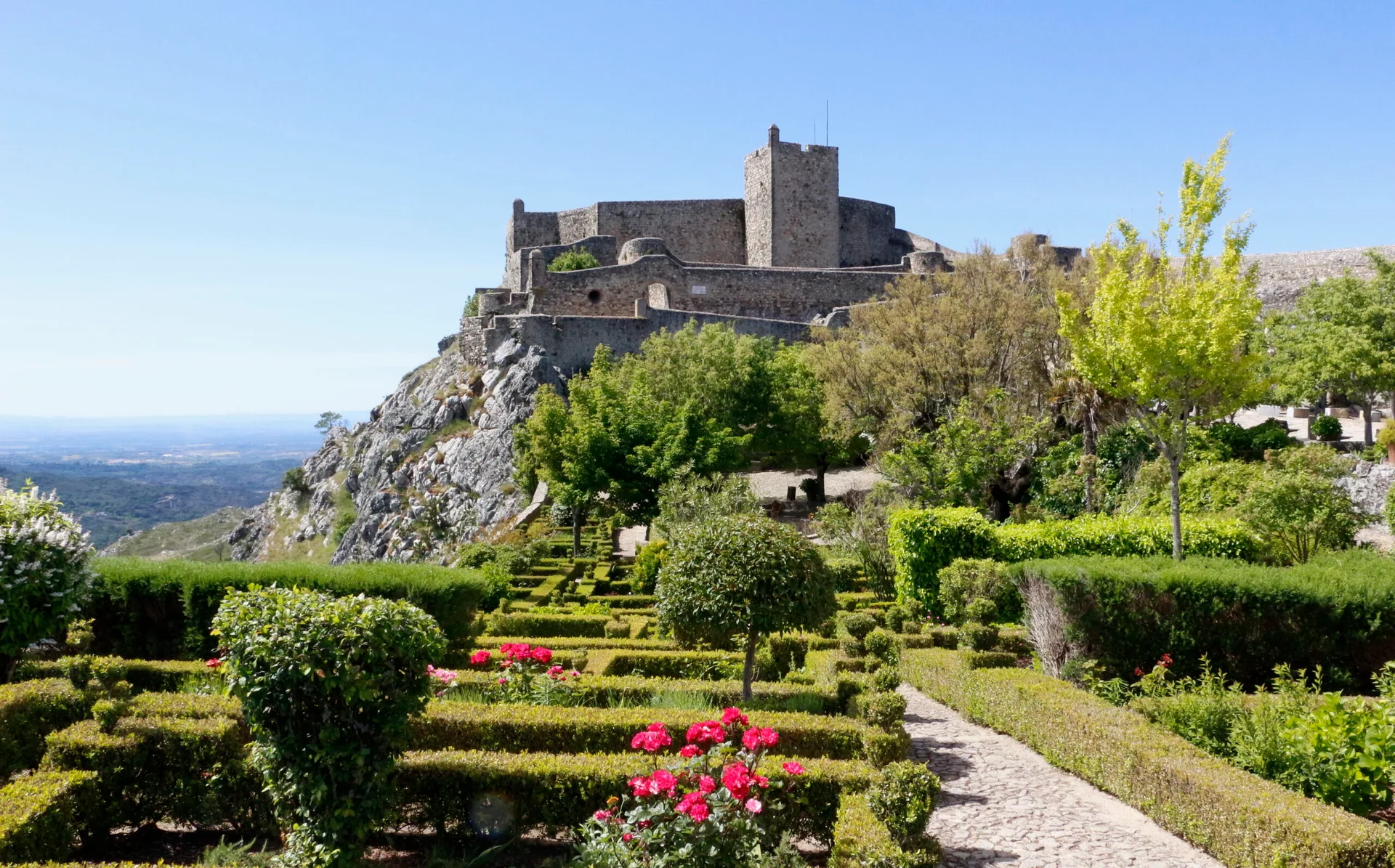
Marvão Walking Trail (PR1 MRV)
- Nature Trails
Conhal Trails (PR4 NIS Trilhos do Conhal)
- Nature Trails
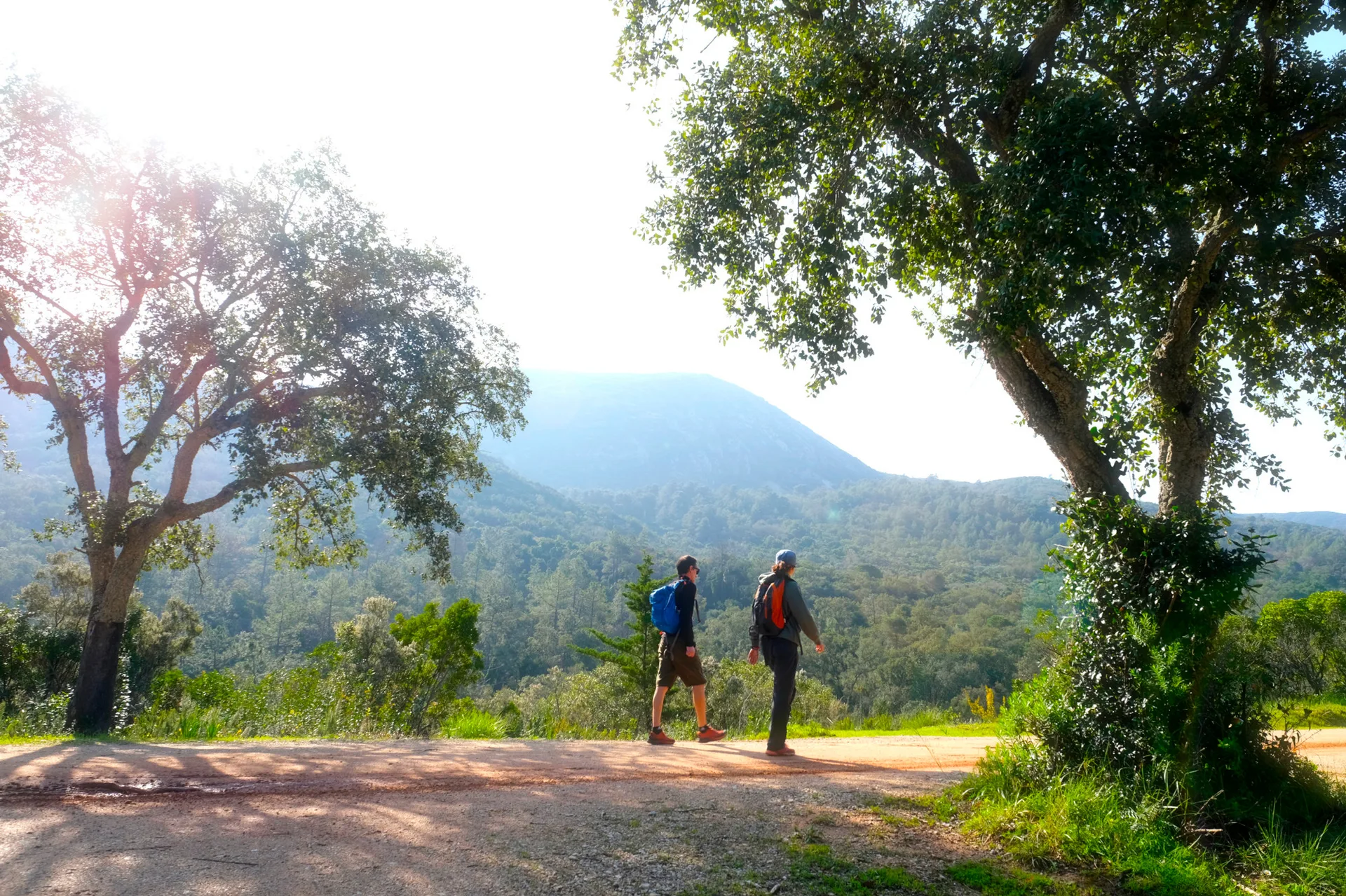
Alto do Formosinho Trail (PR2 STB)
- Nature Trails
Serra d'Ossa Boardwalks
- Nature Trails
Foz Azul Reserve Trail (PR13 TVD)
- Nature Trails

Rota dos Fósseis Fossil Trail (PR3 IDN)
- Nature Trails

Rota dos Moinhos Watermills Trail (PR1 LSA)
- Nature Trails

Fragas de São Simão Trail
- Nature Trails

Agroal Boardwalk (Passadiço do Agroal)
- Nature Trails

Orvalho GeoRoute (PR3 OLR GeoRota do Orvalho)
- Nature Trails

Rio Marão Trail (PR6 Rio Marão)
- Nature Trails

Rota das Bétulas Birch Trail (PR2 SPS)
- Nature Trails
Mondego Walkways (Passadiços do Mondego)
- Nature Trails
Castrejo Trail (PR3 Trilho Castrejo)
- Nature Trails
Cidade da Calcedónia Trail (PR1 TBR)
- Nature Trails
Fisgas de Ermelo Trail (PR3 MDB)
- Nature Trails
Faia da Água Alta Waterfall Trail (PR4 MGD)
- Nature Trails
Rio de Onor Trail (PR11 BGC O Lado Português de Rio de Onor)
- Nature Trails
Pincho Trail (PR5 Trilho do Pincho)
Travellers' notes
Tips and experiences from people who have been here.
No notes yet. Be the first to share a tip.