Regional protected landscape around the Azibo reservoir, 2 kilometres from Macedo de Cavaleiros in Trás-os-Montes. Cork oak woods, great crested grebes, two Blue Flag river beaches and more than 50 kilometres of walking and cycling routes.
About this place
The Albufeira do Azibo Protected Landscape surrounds the Azibo reservoir, two kilometres from the town of Macedo de Cavaleiros, in the district of Bragança in north-east Portugal. The dam was built in the late 1970s to irrigate farmland, on a tributary of the river Sabor, and the lake and its shores were classified in 1999 as a protected area of regional scope, run by the municipality. Figures for its size vary with the source: the nature conservation institute ICNF counts about 3,300 hectares, the municipality more than 4,000.
Mediterranean and Atlantic plants meet here. Portuguese oak and chestnut grow beside olive groves, vineyards, scrub and hay meadows, wild orchids are found, and the shore holds one of the best-preserved cork oak woods in Trás-os-Montes. The open water draws birds: the great crested grebe, the symbol of the protected landscape, nests here and performs its courtship dance on the lake, along with ducks, little grebes, common sandpipers and little ringed plovers, and Montagu's harrier breeds here too. Otters, wildcats and pond turtles also live around the reservoir.
Part of the area lies within the Morais site of the Natura 2000 network, and it belongs to the Meseta Ibérica transboundary biosphere reserve and to the Terras de Cavaleiros UNESCO geopark. The municipality presents it as a place where leisure and conservation go together: only non-motorised water sports are allowed, bird hides stand on the shore, and nature interpretation activities are organised. The two river beaches, Fraga da Pegada and Ribeira, are both adapted for visitors with reduced mobility; Fraga da Pegada has flown the Blue Flag every year since 2004 and Ribeira since 2010.
Five waymarked walks and the Azibo cycleway, 15.6 kilometres along the western shore between Ribeira beach and the visitor centre, add up to more than 50 kilometres of routes. One of them, the Vale de Prados green corridor, starts by the town hall in Macedo de Cavaleiros, so the lake can be reached on foot or by bike. Visitors can also hire canoes and pedal boats, picnic by the quay facing the island of Fidalgo, or see the small archaeology room at the visitor centre. The beaches are busiest on weekends in July and August; the rest of the year is good for walking and birdwatching. By car, the A4 motorway and the old N15 road reach the north side, with a motorway exit at Santa Combinha, and the N216 leads to the east side towards Vale da Porca.
Location
Bragança41.5627, -6.9047
Nearby
- Craft Food

Quinta do Romeu
- Craft Food

Quinta Mourisca
- Greenways
Tua Greenway
- Agritourism

Quinta Acushla
- Eco Stays

Bétula Studios
- Eco Stays
Montesinho Eco-Resort
- Eco Stays
Cepo Verde Campsite
- Outdoor Fun
Vinhais Biological Park (Parque Biológico de Vinhais)
Photos from travellers
Sent by people who have been here.
No traveller photos yet. Been here? Share yours.
More places in Natural Parks
- Natural Parks
Peneda-Gerês National Park
- Natural Parks
Arrábida Natural Park
- Natural Parks
Vale do Guadiana Natural Park
- Natural Parks
Ria Formosa Natural Park
- Natural Parks
Sudoeste Alentejano e Costa Vicentina Natural Park
- Natural Parks
Madeira Natural Park
- Natural Parks
São Miguel Natural Park
- Natural Parks
Serra de São Mamede Natural Park
- Natural Parks
Lagoas de Bertiandos e São Pedro de Arcos Protected Landscape
- Natural Parks
Corno de Bico Protected Landscape
- Natural Parks
Sintra-Cascais Natural Park
- Natural Parks
Serra de Montejunto Protected Landscape
- Natural Parks
Serras de Aire e Candeeiros Natural Park
- Natural Parks

Tejo Internacional Natural Park
- Natural Parks

Serra do Açor Protected Landscape
- Natural Parks

Serra da Estrela Natural Park
- Natural Parks
Serra da Gardunha Regional Protected Landscape
- Natural Parks
Serras do Porto Park
- Natural Parks

Litoral de Vila do Conde and Mindelo Ornithological Reserve Regional Protected Landscape
- Natural Parks
Alvão Natural Park
- Natural Parks
Montesinho Natural Park
- Natural Parks
Litoral Norte Natural Park
- Natural Parks
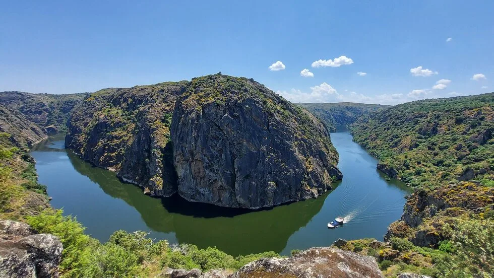
Douro Internacional Natural Park
- Natural Parks
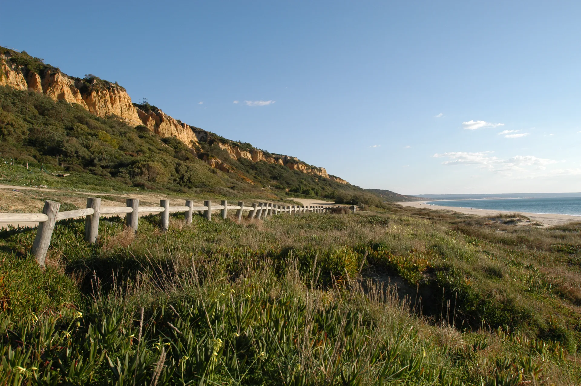
Arriba Fóssil da Costa da Caparica Protected Landscape
- Natural Parks
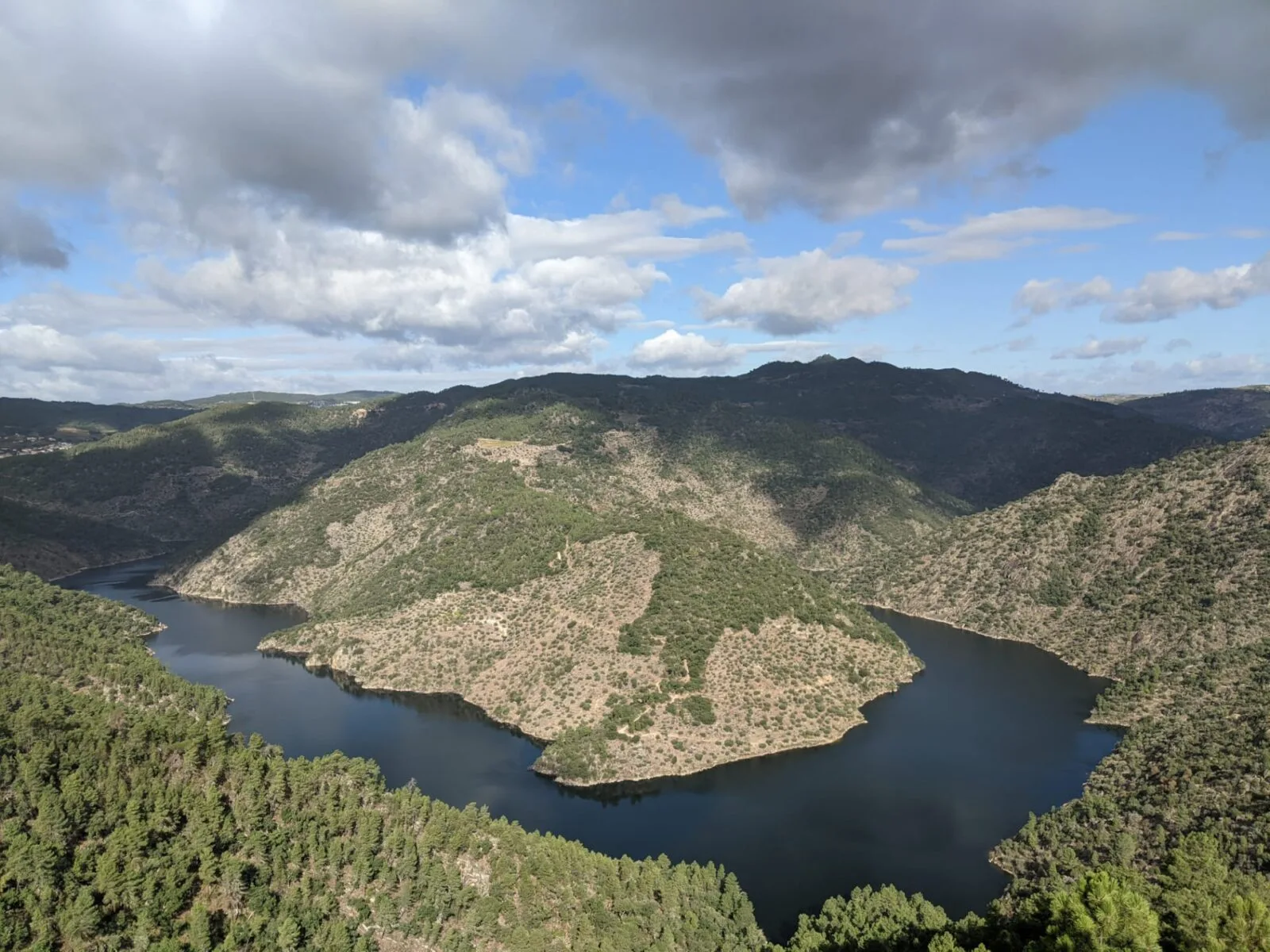
Vale do Tua Regional Natural Park
- Natural Parks
Serras do Socorro e Archeira Local Protected Landscape
Travellers' notes
Tips and experiences from people who have been here.
No notes yet. Be the first to share a tip.