Rio de Onor Trail (PR11 BGC O Lado Português de Rio de Onor)
A 7 km waymarked loop from the border village of Rio de Onor, in the Montesinho Natural Park, across hills, hay meadows and the river Onor, past a very old Pyrenean oak, in an area known for its red deer.
About this place
O Lado Português de Rio de Onor, the Portuguese side of Rio de Onor, is small route PR11 of the municipality of Bragança, in the far north-east of the Montesinho Natural Park. It starts and ends at the entrance to the village of Rio de Onor, beside the rural campsite. The municipal tourism site gives a circular walk of 7 km, graded medium, between 686 and 770 metres of altitude; walkers usually allow about two hours. In June 2026 the municipality announced that all eleven of its small routes, this one included, had been cleaned, maintained and approved by the Portuguese camping and mountaineering federation.
The recommended direction follows the tarmac road south for about 900 metres and then turns left onto a dirt track along the highest part of the route, with wide views over the hills and of the village. The track then descends towards the river and the place called Cimo do Couto de Baixo, where a very large Pyrenean oak more than a hundred years old was classified as a Tree of Public Interest in 2012. The return follows a narrow path along the river Onor beside a hay meadow, passes a rock crag, crosses the river and goes through community farmland before entering the village.
Rio de Onor is a village of schist houses crossed by the river of the same name and by the border with Spain. In its streets the route passes the parish church, the nineteenth-century bridge, the community forge and oven and the watermills on the river bank. The same loop is also promoted as the Percurso do Carvalho, the oak trail. Its leaflet explains that this corner of the park has one of the largest red deer populations in Portugal, and that the rutting season in September and October, at sunrise and sunset, is the best time to see and hear the animals from a distance without disturbing them.
Several stretches have no shade and the meadow by the river can be very wet, so waterproof boots, a hat and water are useful. Waymarks may be hidden by vegetation in places and it is worth carrying the track, which the municipal tourism site offers for download. The trail is not suitable for pushchairs or for people with reduced mobility. Rio de Onor is reached from Bragança by national roads 218 and 308, and cars are left at the entrance to the village, by the campsite.
Location
Bragança41.9376, -6.6170
Nearby
- Natural Parks
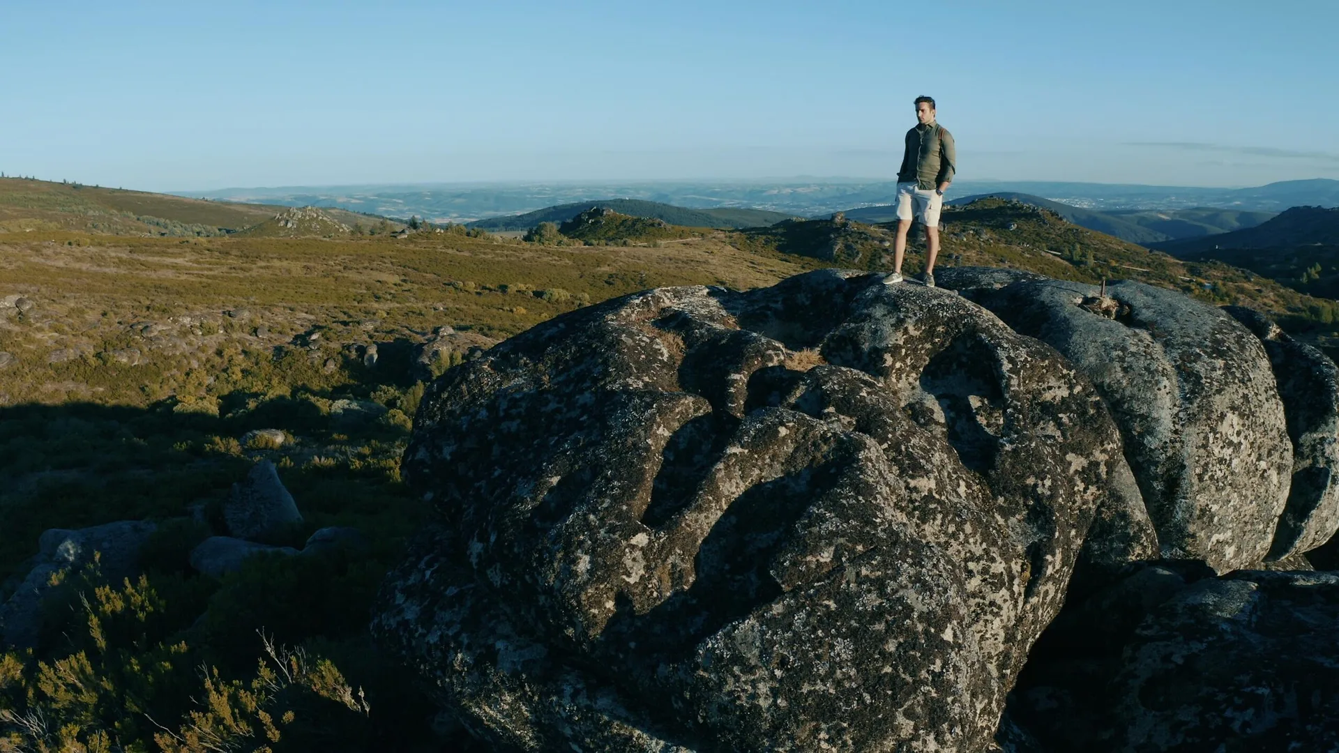
Montesinho Natural Park
- Eco Stays
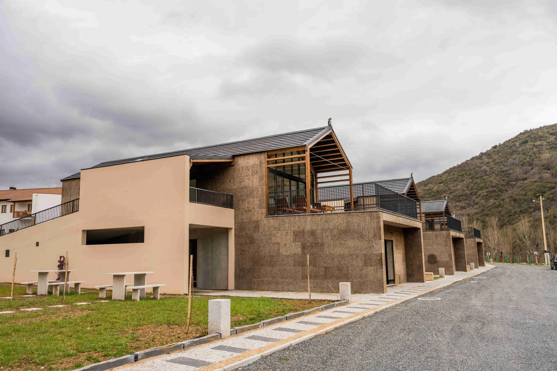
Montesinho Eco-Resort
- Eco Stays

Bétula Studios
- Eco Stays
Cepo Verde Campsite
- Outdoor Fun
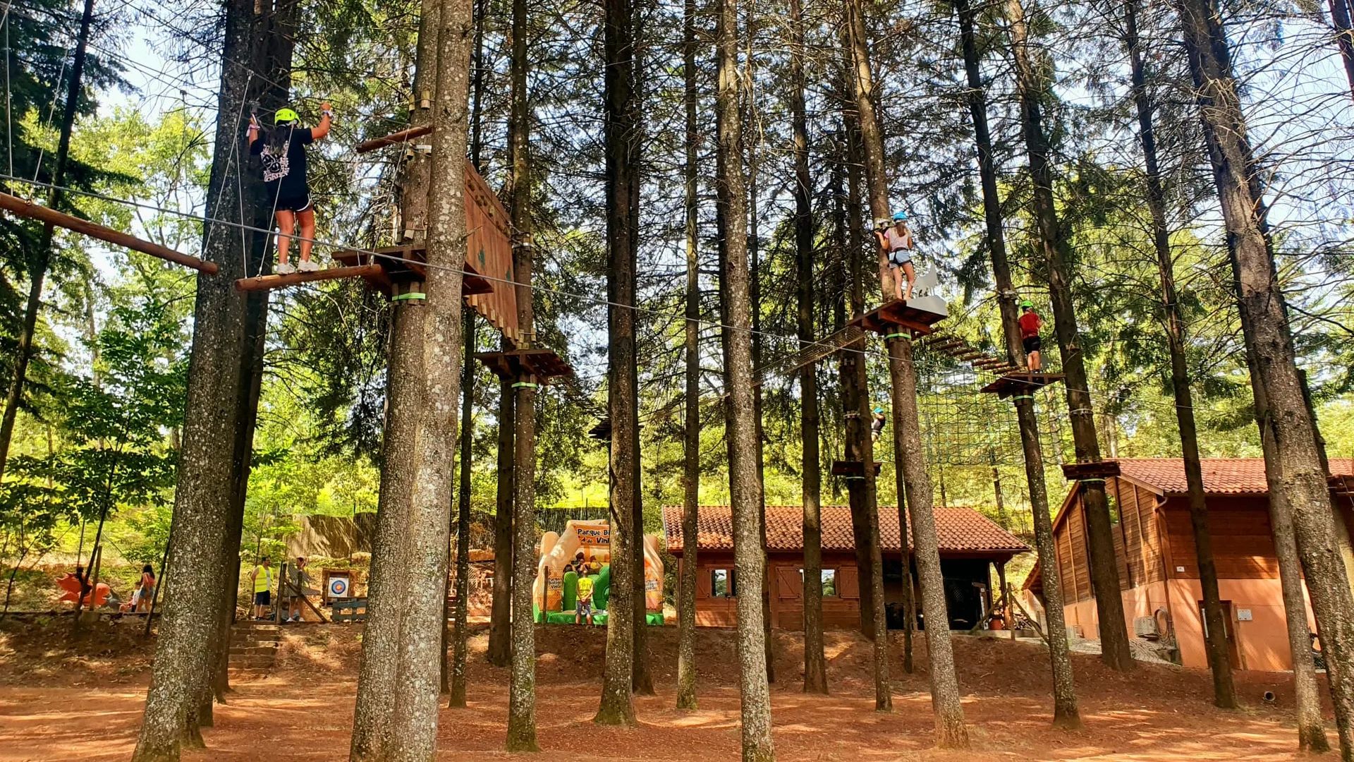
Vinhais Biological Park (Parque Biológico de Vinhais)
- Ecoparks
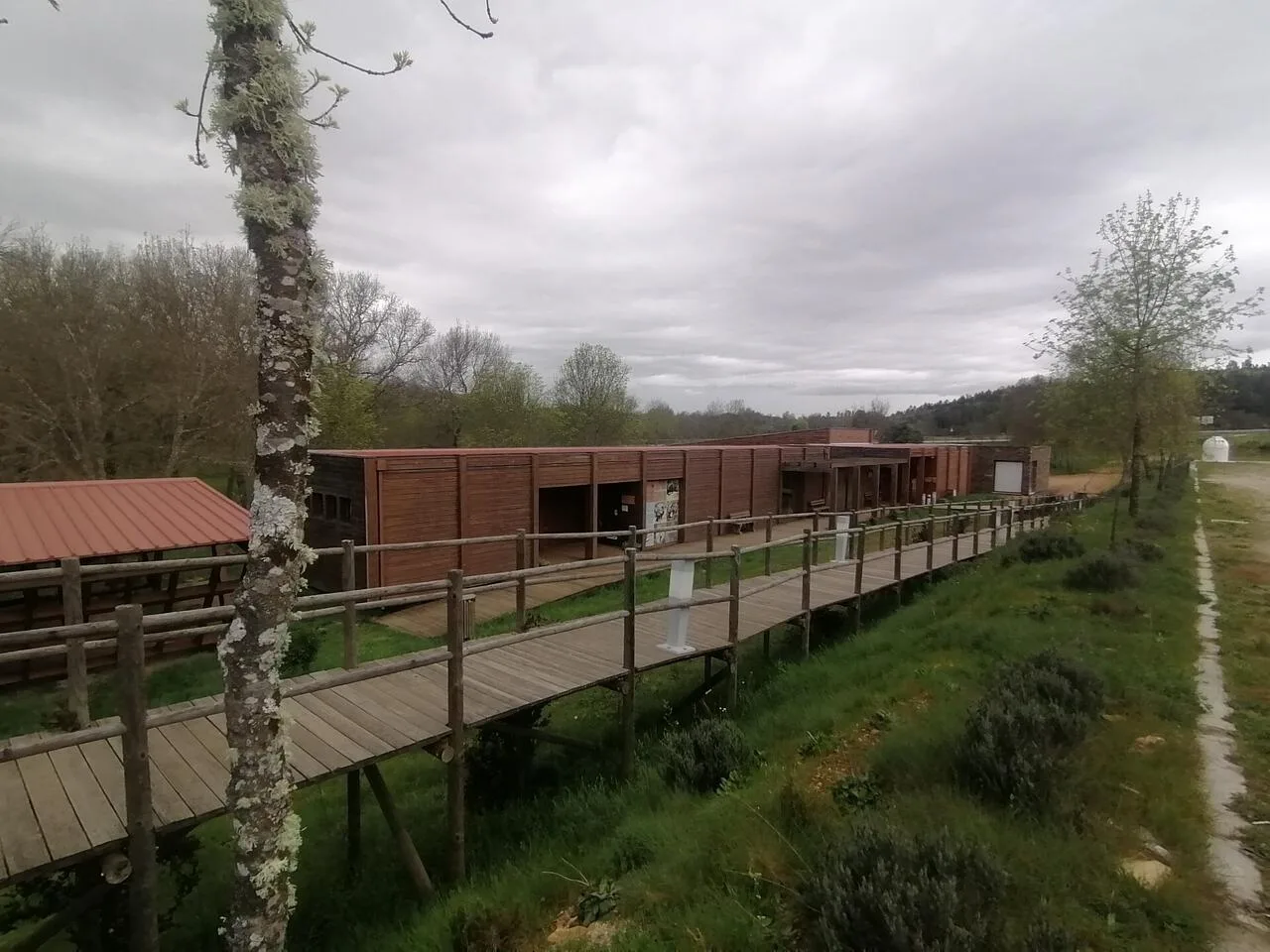
Iberian Nature and Adventure Park (PINTA)
- Natural Parks

Albufeira do Azibo Protected Landscape
- Traditional Crafts

Cutelaria Martins – Palaçoulo Knife Makers
Photos from travellers
Sent by people who have been here.
No traveller photos yet. Been here? Share yours.
More places in Nature Trails
- Nature Trails
Frecha da Mizarela Trail
- Nature Trails
Sete Vales Suspensos Trail (Seven Hanging Valleys)
- Nature Trails
Levada das 25 Fontes Trail (PR 6)
- Nature Trails
Vereda da Ponta de São Lourenço Trail (PR 8)
- Nature Trails
PR9 Between the Escalda and Pulo do Lobo
- Nature Trails
Sanguinho and Salto do Prego Trail (PRC 09 SMI)
- Nature Trails
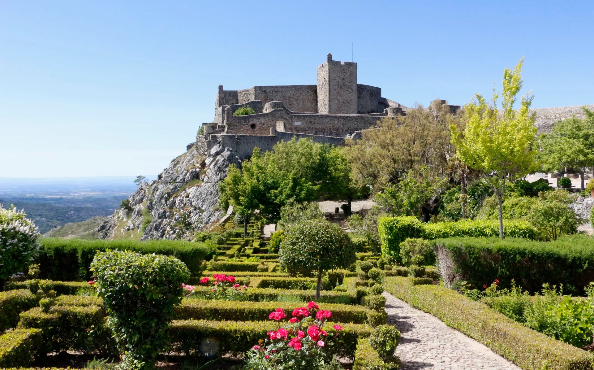
Marvão Walking Trail (PR1 MRV)
- Nature Trails
Conhal Trails (PR4 NIS Trilhos do Conhal)
- Nature Trails
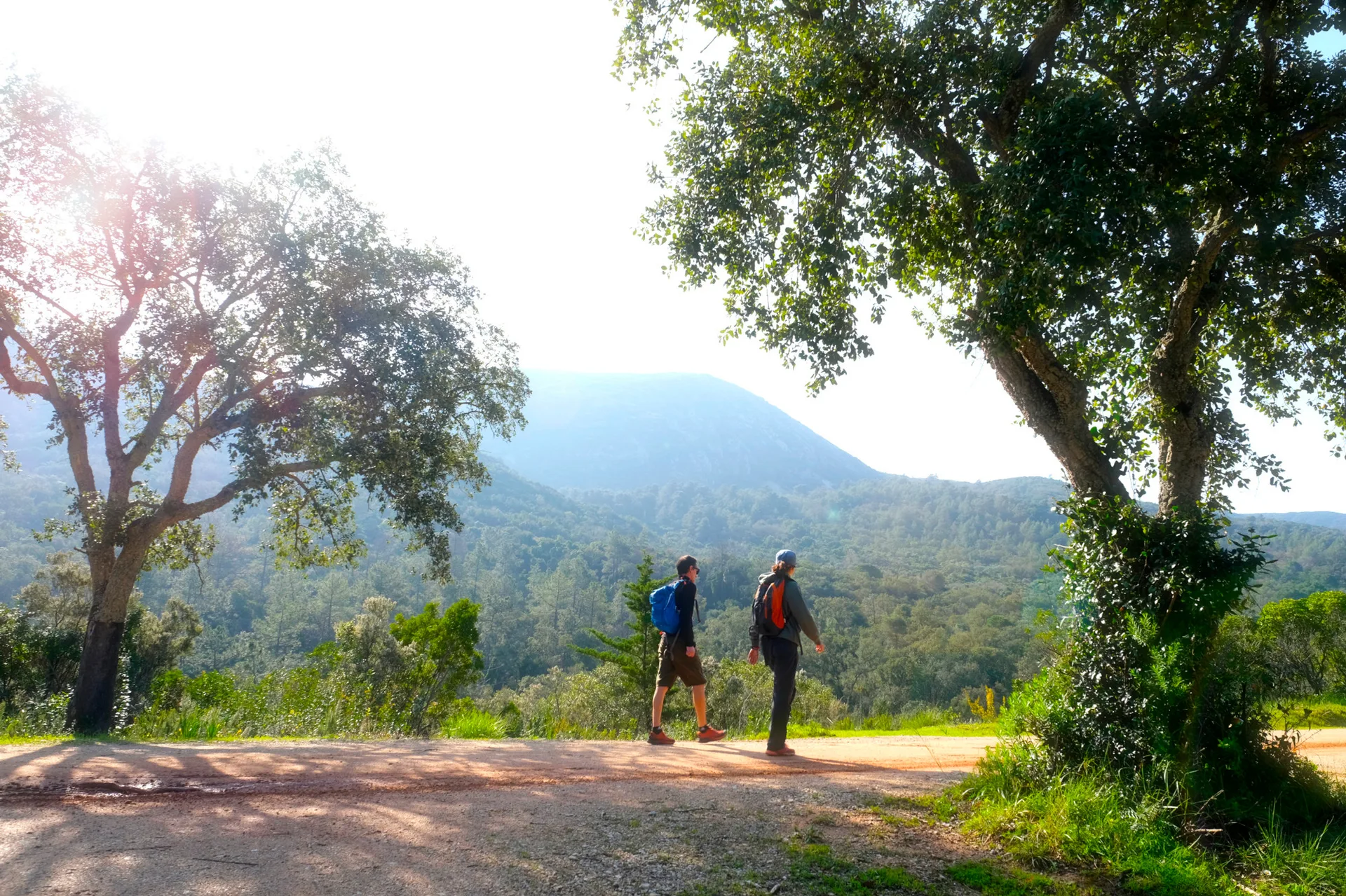
Alto do Formosinho Trail (PR2 STB)
- Nature Trails
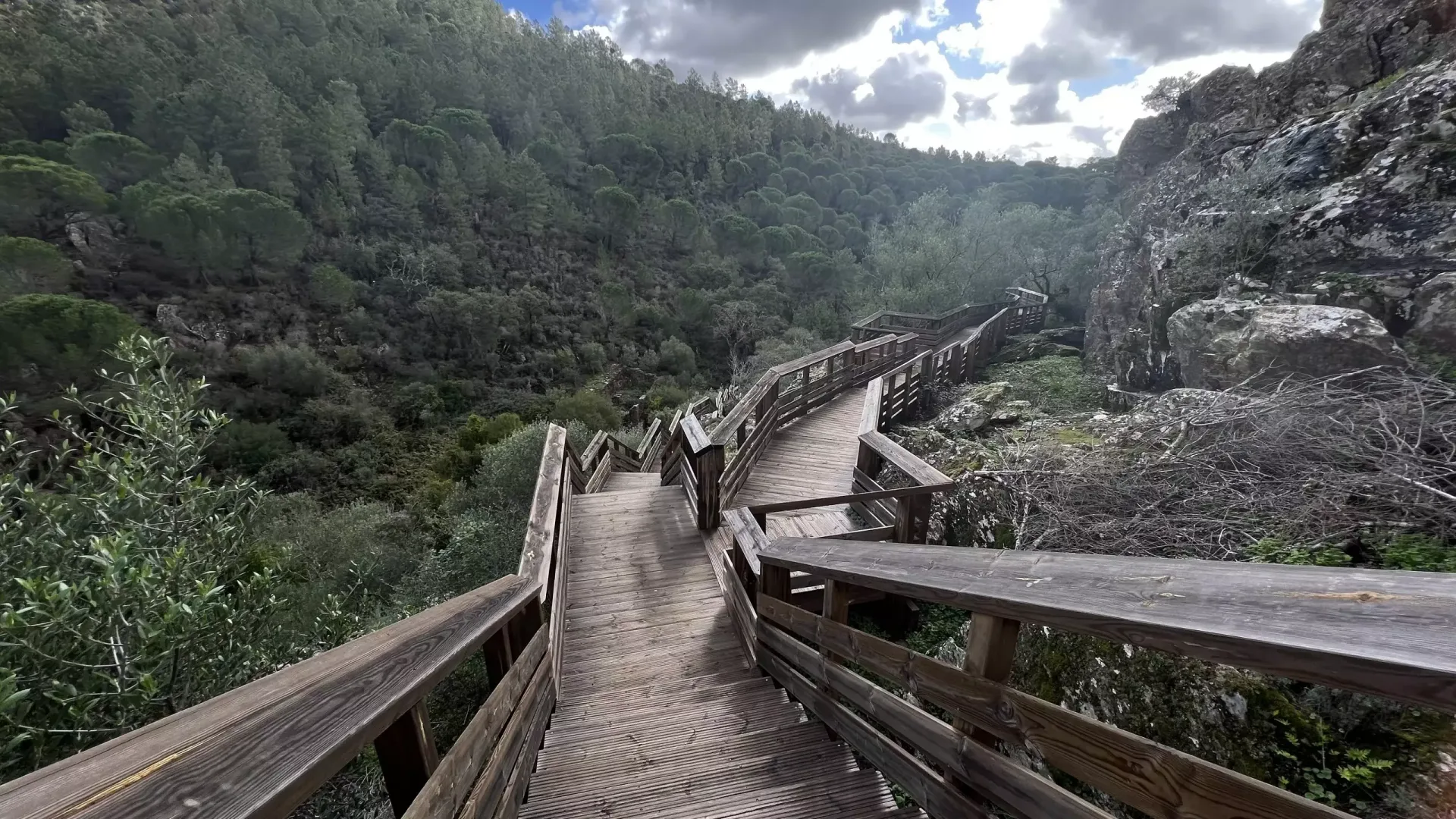
Serra d'Ossa Boardwalks
- Nature Trails
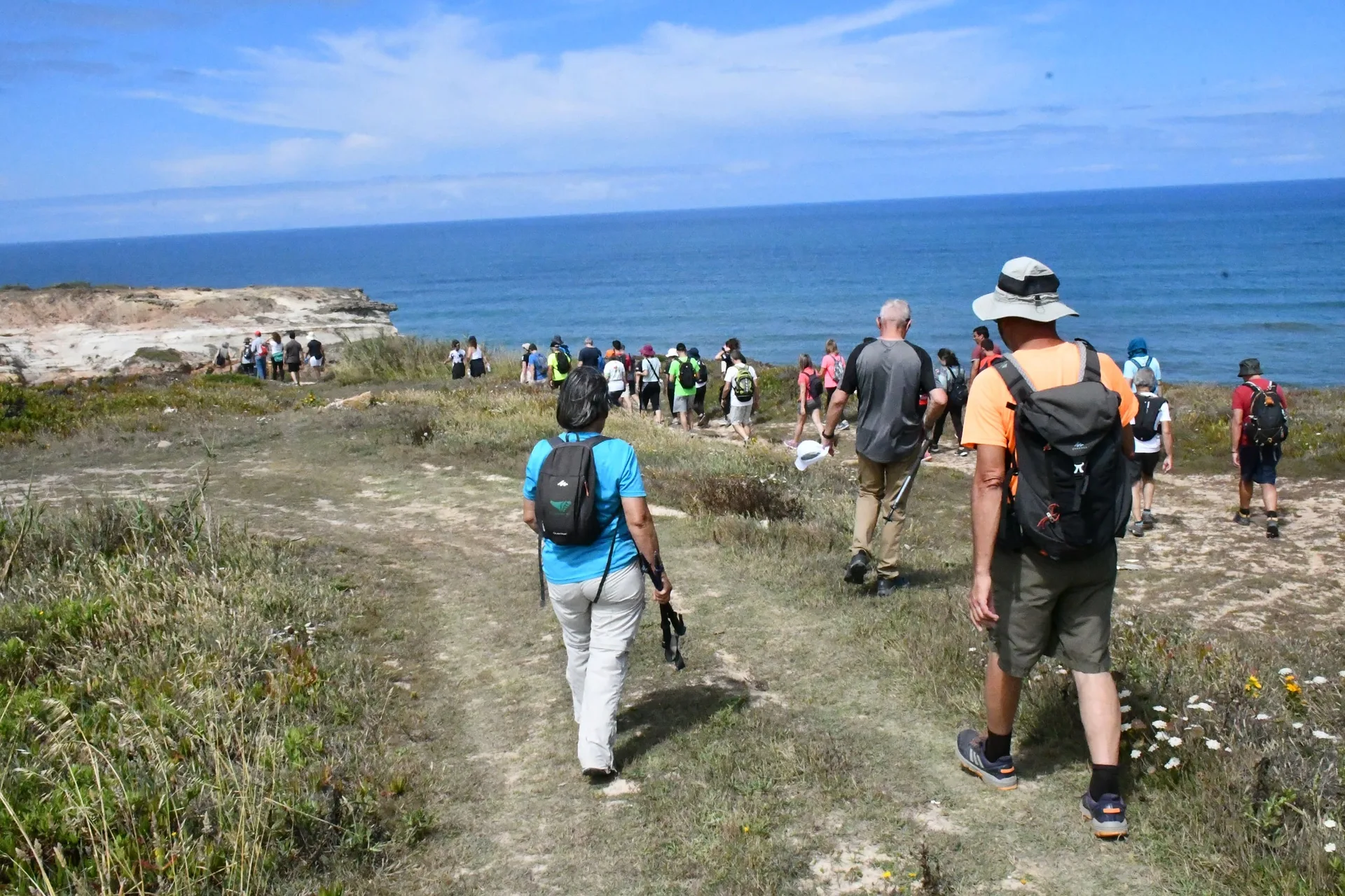
Foz Azul Reserve Trail (PR13 TVD)
- Nature Trails

Rota dos Fósseis Fossil Trail (PR3 IDN)
- Nature Trails

Rota dos Moinhos Watermills Trail (PR1 LSA)
- Nature Trails

Fragas de São Simão Trail
- Nature Trails

Agroal Boardwalk (Passadiço do Agroal)
- Nature Trails

Orvalho GeoRoute (PR3 OLR GeoRota do Orvalho)
- Nature Trails

Rio Marão Trail (PR6 Rio Marão)
- Nature Trails

Rota das Bétulas Birch Trail (PR2 SPS)
- Nature Trails

Mondego Walkways (Passadiços do Mondego)
- Nature Trails

Poço do Inferno Trail (PR1 MTG Rota do Poço do Inferno)
- Nature Trails
Castrejo Trail (PR3 Trilho Castrejo)
- Nature Trails
Cidade da Calcedónia Trail (PR1 TBR)
- Nature Trails
Fisgas de Ermelo Trail (PR3 MDB)
- Nature Trails
Faia da Água Alta Waterfall Trail (PR4 MGD)
- Nature Trails
Pincho Trail (PR5 Trilho do Pincho)
- Nature Trails
Fonte Benémola Trail (PR16 LLE)
- Nature Trails
Santa Clara to the Dam Trail (De Santa Clara à Barragem)
- Nature Trails
Serra do Topo – Caldeira de Santo Cristo – Fajã dos Cubres Trail (PR01 SJO)
- Nature Trails
Between the Neiva and the Atlantic Trail (PR1 EPS Entre o Neiva e o Atlântico)
- Nature Trails

Turio Trail (PR4 VRM Percurso do Turio)
Travellers' notes
Tips and experiences from people who have been here.
No notes yet. Be the first to share a tip.