Serra da Gardunha Regional Protected Landscape
Regional protected landscape of about 10,500 hectares on the Gardunha range, between Fundão and Castelo Branco. Granite outcrops, chestnut and oak woods, cherry orchards and a plant found nowhere else, with historic villages and a wide network of trails.
About this place
Serra da Gardunha Regional Protected Landscape covers the Gardunha range, a branch of the Serra da Estrela in the Beira Baixa region, in the district of Castelo Branco. The range runs for about 20 kilometres and rises to 1,227 metres, forming a natural barrier between the Cova da Beira valley, to the north, and the plain of Castelo Branco, to the south. The protected landscape was created in May 2014 as a regional protected area of the municipalities of Fundão and Castelo Branco and covers about 10,500 hectares, in the south of the first and the north of the second. Its head office is at Fundão town hall.
Granite and schist shape the mountain, and water is everywhere: the river Ocreza, a tributary of the Tagus, rises here. Near Castelo Velho, at just over 1,000 metres, a group of granite outcrops with unusual forms is considered of high geological value. Despite its small size, the range brings together plants and animals typical of the north, centre and south of Portugal. On the northern slope there are well-preserved woods of sweet chestnut and oak, home to Asphodelus bento-rainhae, a plant that grows only on this mountain; the southern slope is covered in heather and rockrose scrub. More than half of the area is a Natura 2000 site.
Wildlife includes the otter, Schreiber's green lizard, the golden-striped salamander, Montagu's harrier and the booted eagle, as well as the beech marten, known locally as gardunha. People have shaped this landscape for a very long time: 26 archaeological sites are known, and orchards cover much of the farmland. Gardunha is cherry country. The trees blossom in spring, turning the northern slopes white, and the fruit is picked around June. Chestnuts and wild mushrooms are the other products of the mountain.
The range is crossed by a wide network of signposted routes for walking and mountain biking; the regional tourism board counts more than 350 kilometres of walking trails. Short walks include the Pedra d'Hera route at Fundão, of about 5 kilometres, and a longer circular route climbs from Louriçal do Campo, on the Castelo Branco side. The granite villages of Castelo Novo and Alpedrinha, on the southern side, and Alcongosta, among the cherry orchards, are good bases; Alpedrinha has a visitor centre and holds the Chocalhos festival of transhumance in September. By car, leave the A23 motorway at the Fundão exit, or at Soalheira and follow the N18 through Alpedrinha.
Location
Castelo Branco40.0971, -7.5127
Nearby
- Eco Stays

Natura Glamping
- Outdoor Fun
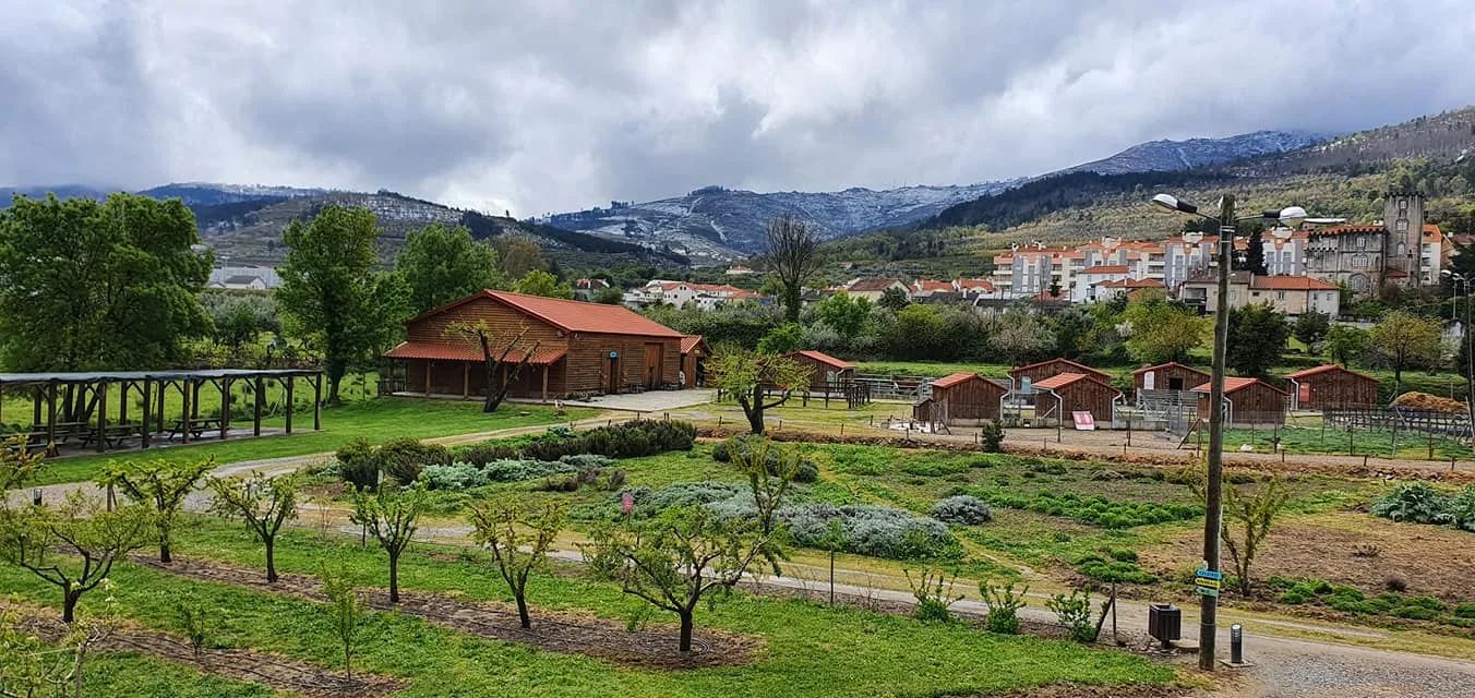
Quinta Pedagógica do Fundão (Fundão Educational Farm)
- Agritourism

Quinta da Sra. Marocas
- Nature Trails

Orvalho GeoRoute (PR3 OLR GeoRota do Orvalho)
- Traditional Crafts

Castelo Branco Embroidery Interpretation Centre
- Organic Shops
Dona Pimenta
- Nature Trails

Poço do Inferno Trail (PR1 MTG Rota do Poço do Inferno)
- Ecoparks
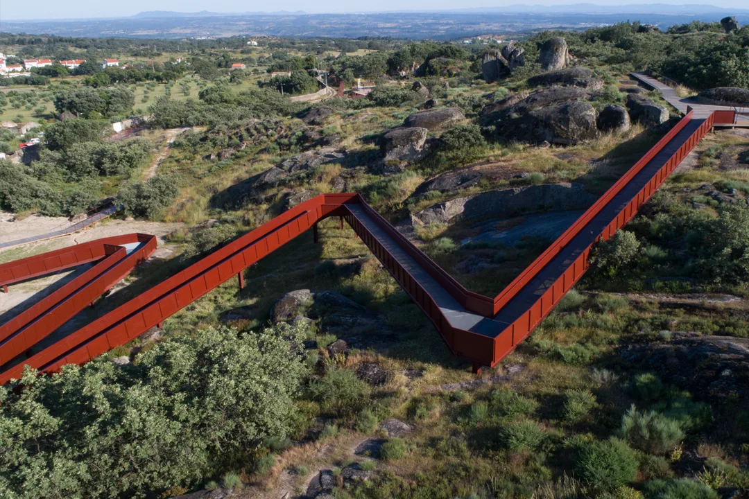
Barrocal Park
Photos from travellers
Sent by people who have been here.
No traveller photos yet. Been here? Share yours.
More places in Natural Parks
- Natural Parks
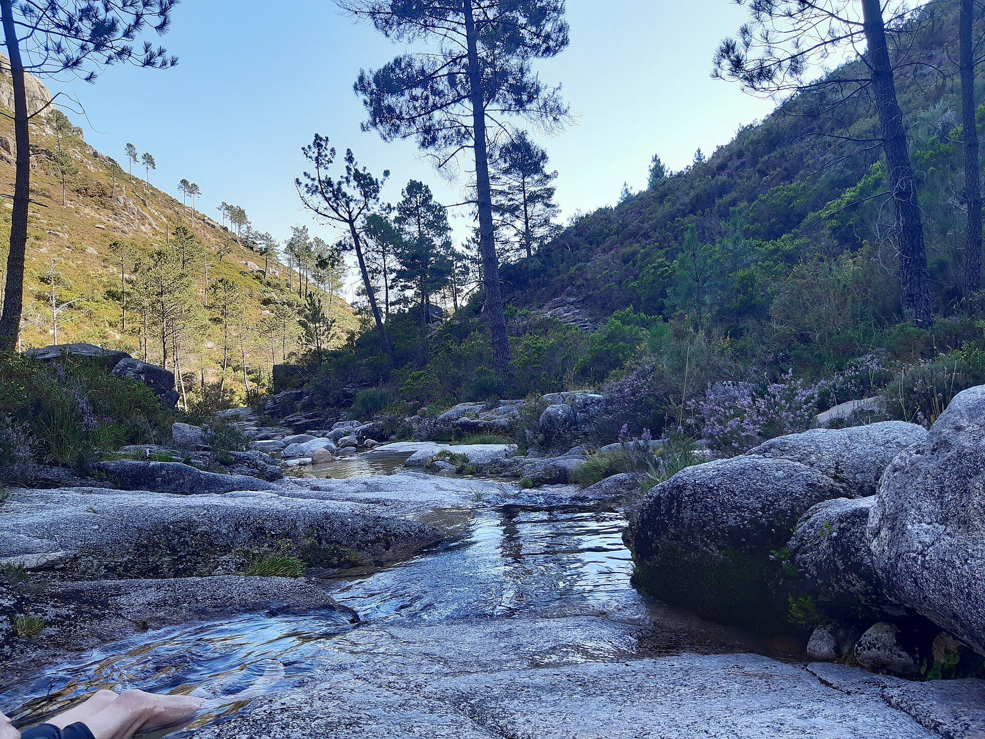
Peneda-Gerês National Park
- Natural Parks
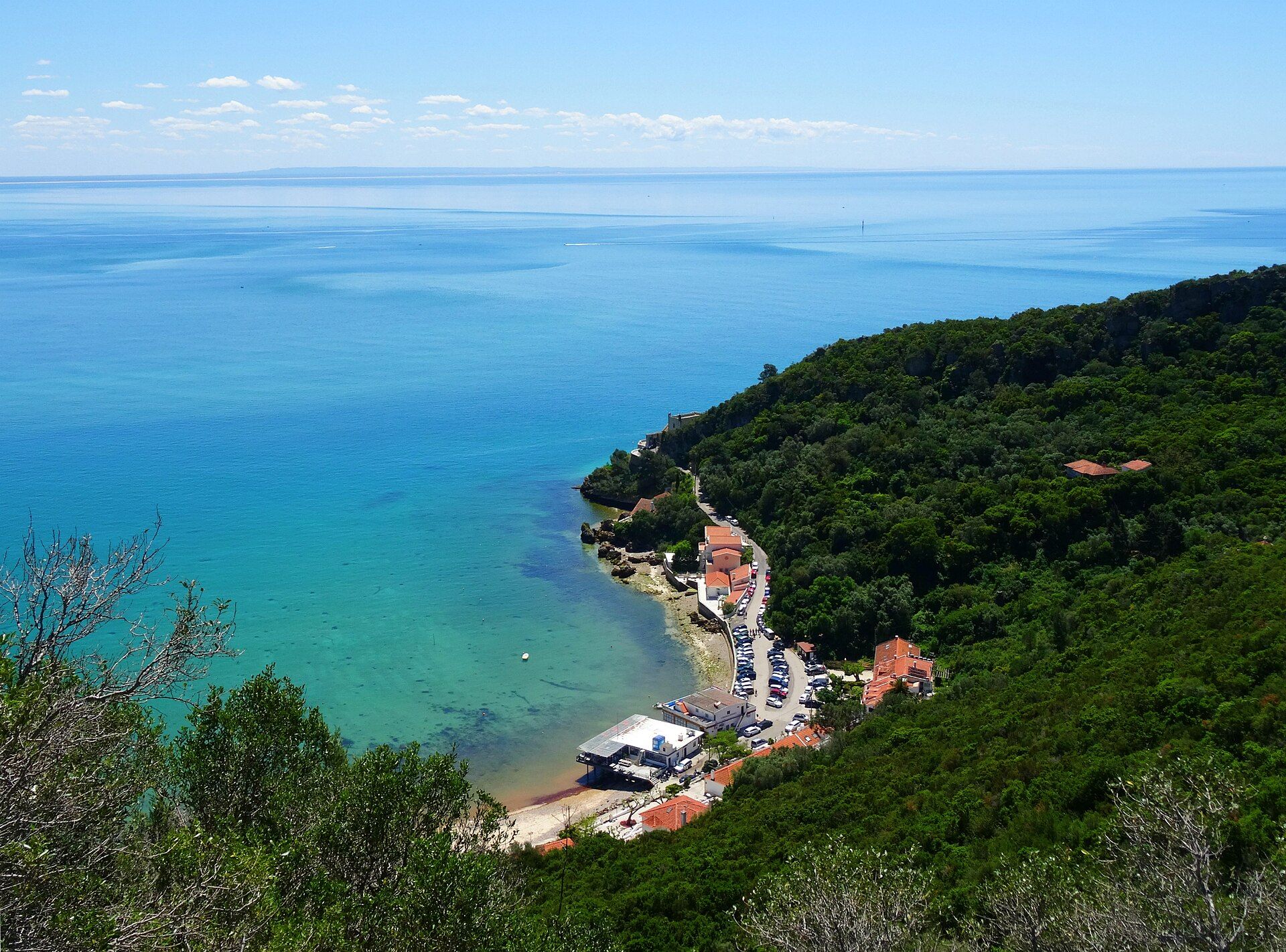
Arrábida Natural Park
- Natural Parks
Vale do Guadiana Natural Park
- Natural Parks
Ria Formosa Natural Park
- Natural Parks
Sudoeste Alentejano e Costa Vicentina Natural Park
- Natural Parks
Madeira Natural Park
- Natural Parks
São Miguel Natural Park
- Natural Parks
Serra de São Mamede Natural Park
- Natural Parks
Lagoas de Bertiandos e São Pedro de Arcos Protected Landscape
- Natural Parks
Corno de Bico Protected Landscape
- Natural Parks
Sintra-Cascais Natural Park
- Natural Parks
Serra de Montejunto Protected Landscape
- Natural Parks
Serras de Aire e Candeeiros Natural Park
- Natural Parks

Tejo Internacional Natural Park
- Natural Parks

Serra do Açor Protected Landscape
- Natural Parks

Serra da Estrela Natural Park
- Natural Parks
Serras do Porto Park
- Natural Parks

Litoral de Vila do Conde and Mindelo Ornithological Reserve Regional Protected Landscape
- Natural Parks
Alvão Natural Park
- Natural Parks
Montesinho Natural Park
- Natural Parks
Litoral Norte Natural Park
- Natural Parks
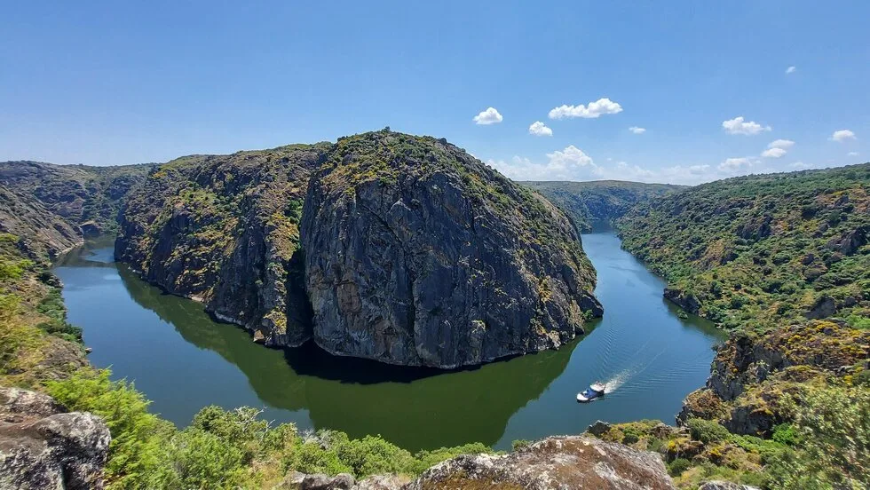
Douro Internacional Natural Park
- Natural Parks
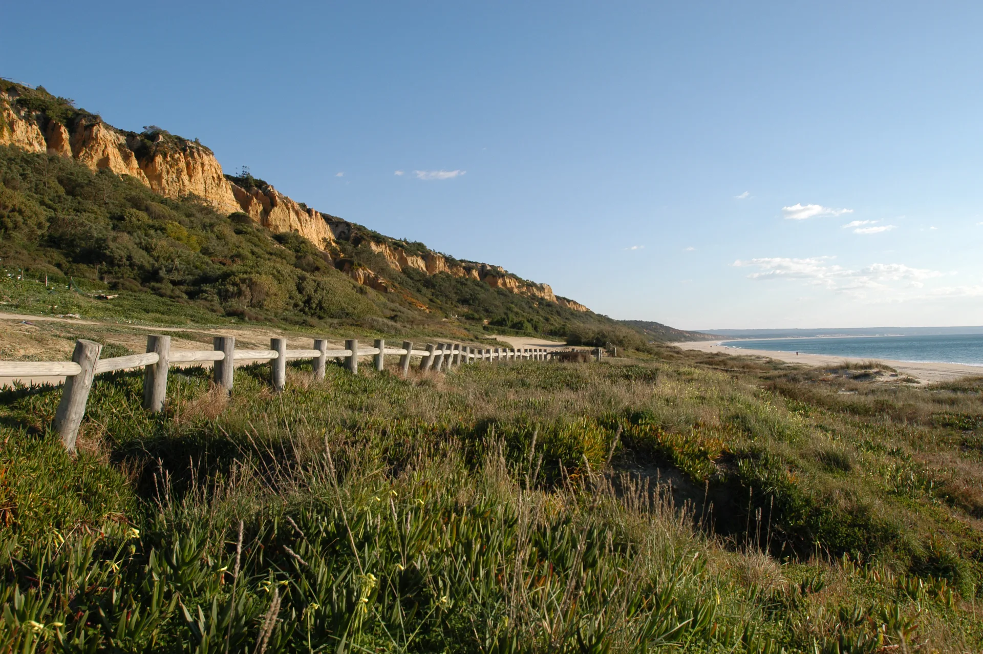
Arriba Fóssil da Costa da Caparica Protected Landscape
- Natural Parks

Albufeira do Azibo Protected Landscape
- Natural Parks
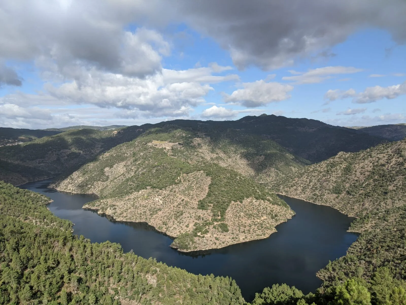
Vale do Tua Regional Natural Park
- Natural Parks
Serras do Socorro e Archeira Local Protected Landscape
Travellers' notes
Tips and experiences from people who have been here.
No notes yet. Be the first to share a tip.