A long stretch of wild Atlantic coast between Sines and the south-western tip of the Algarve, protected on land and at sea, with cliffs, dunes and the Rota Vicentina walking trails.
About this place
Sudoeste Alentejano e Costa Vicentina Natural Park protects the coastline of south-west Portugal, from São Torpes, just south of Sines, through Odemira and Aljezur to Vila do Bispo, at the tip of the Algarve. It covers almost 90,000 hectares, about two thirds on land and one third at sea. The coast was first classified as a protected landscape in 1988 and became a natural park in 1995.
This is a broad zone where land and sea meet, with cliffs, dunes, Mediterranean temporary ponds and wetlands. The park has one of the highest levels of biodiversity in the country, with more than a dozen endemic plant species and several nesting sites for birds, and it is often described as one of the last stretches of wild coast in Europe. Under the name Costa Sudoeste it is part of the Natura 2000 network, both as a Special Area of Conservation and as a Special Protection Area.
Walking is the best way to see it. The Rota Vicentina network of hiking and cycling trails crosses the park: the Fishermen's Trail follows the coast for 226.5 kilometres between São Torpes, Porto Covo and Lagos, in 13 stages, while the Historical Way runs for 263 kilometres along rural tracks from Santiago do Cacém to Cape St Vincent. Sines in the north, Odemira and Aljezur in the centre and Vila do Bispo in the south are the main gateways.
The national conservation institute ICNF is the authority for the park, which is co-managed by a commission chaired by the mayor of Odemira together with the universities of the Algarve and Évora, environmental organisations and local development associations. Its co-management plan for 2025 to 2028 includes the restoration of habitats on land and at sea, the control of invasive species, better ordering of access to sensitive places and environmental education. The spread of intensive farming, climate change and habitat degradation are the main pressures on the area, which is one more reason to keep to the marked paths.
Location
Beja37.4508, -8.7924
Nearby
- Eco Stays
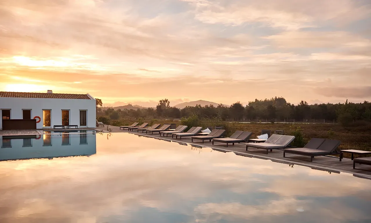
Craveiral Farmhouse
- Nature Trails
Sete Vales Suspensos Trail (Seven Hanging Valleys)
- Natural Parks
Ria Formosa Natural Park
- Natural Parks
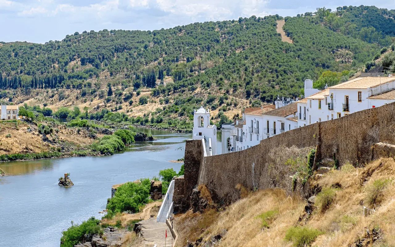
Vale do Guadiana Natural Park
- Nature Trails
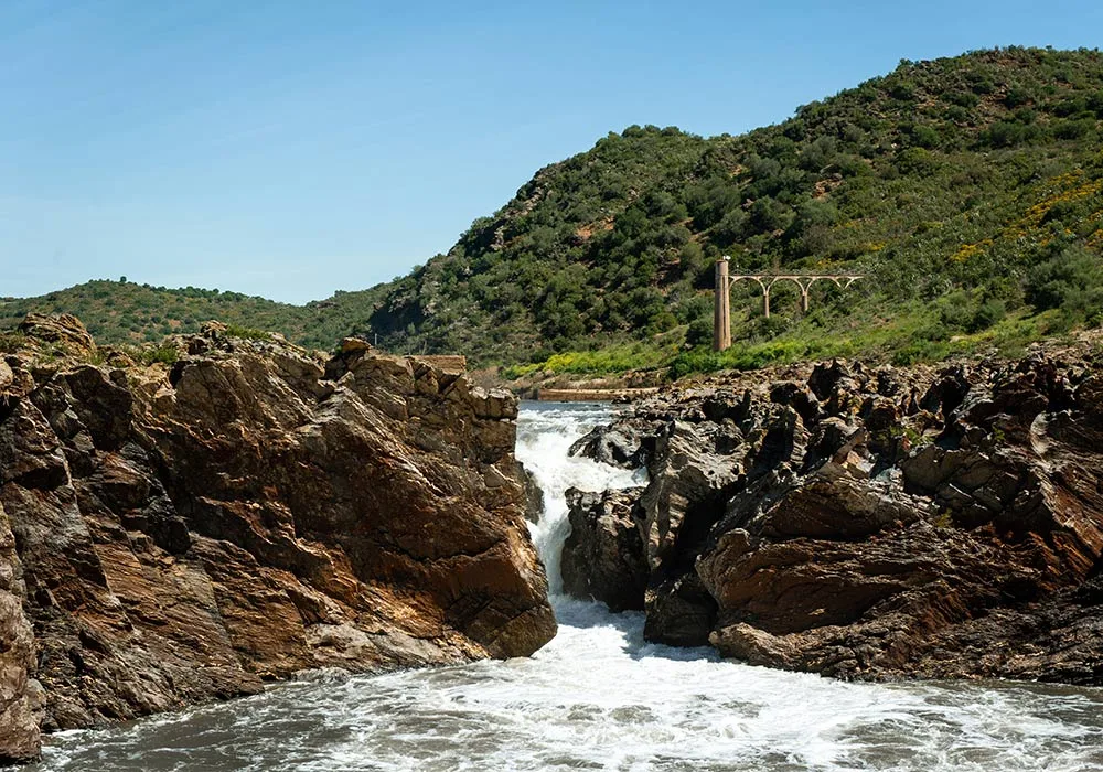
PR9 Between the Escalda and Pulo do Lobo
- Natural Parks
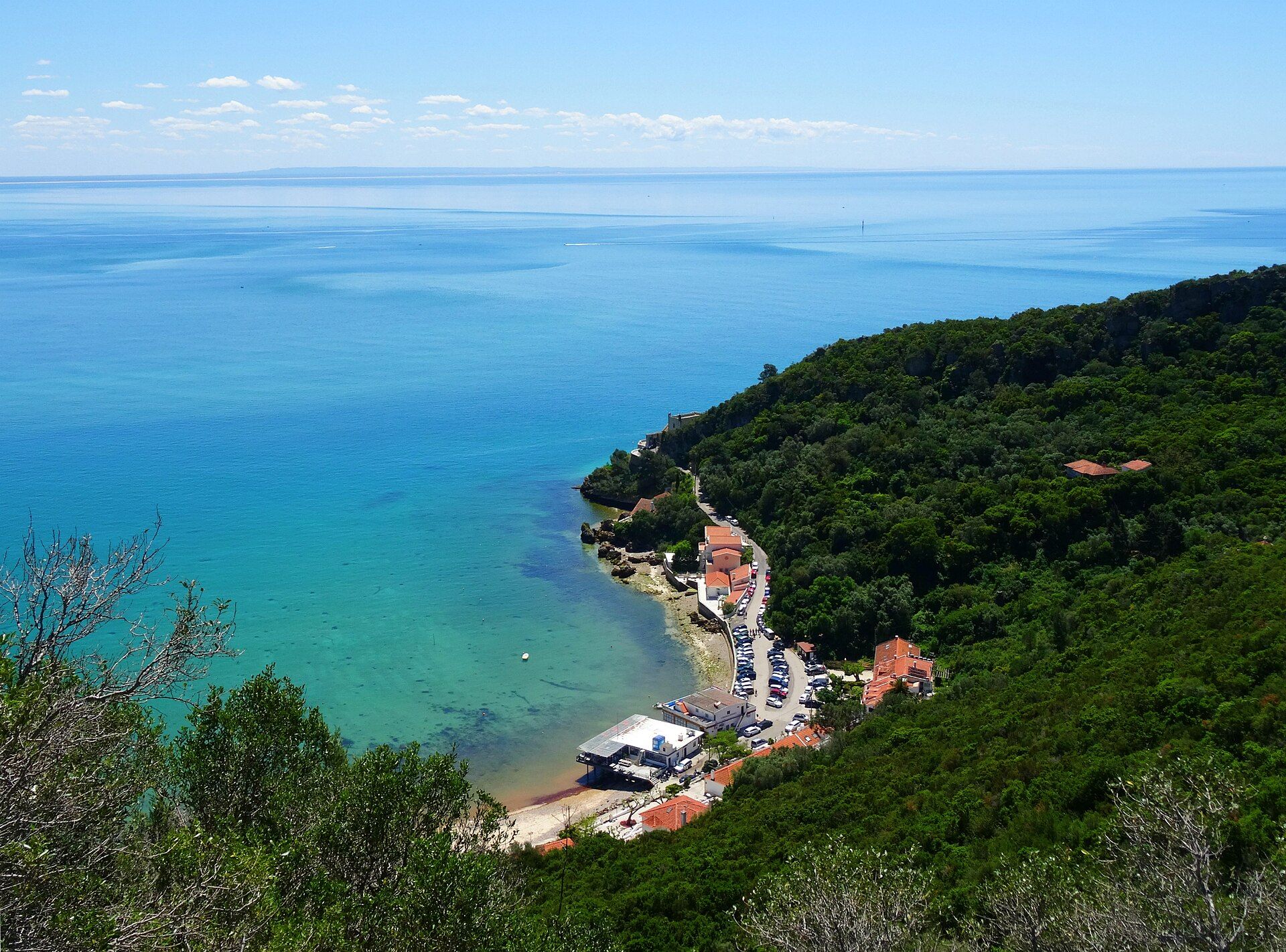
Arrábida Natural Park
- Ecoparks
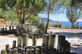
Outão Ecopark
- Agritourism

Quinta da Fornalha
Photos from travellers
Sent by people who have been here.
No traveller photos yet. Been here? Share yours.
More places in Natural Parks
- Natural Parks
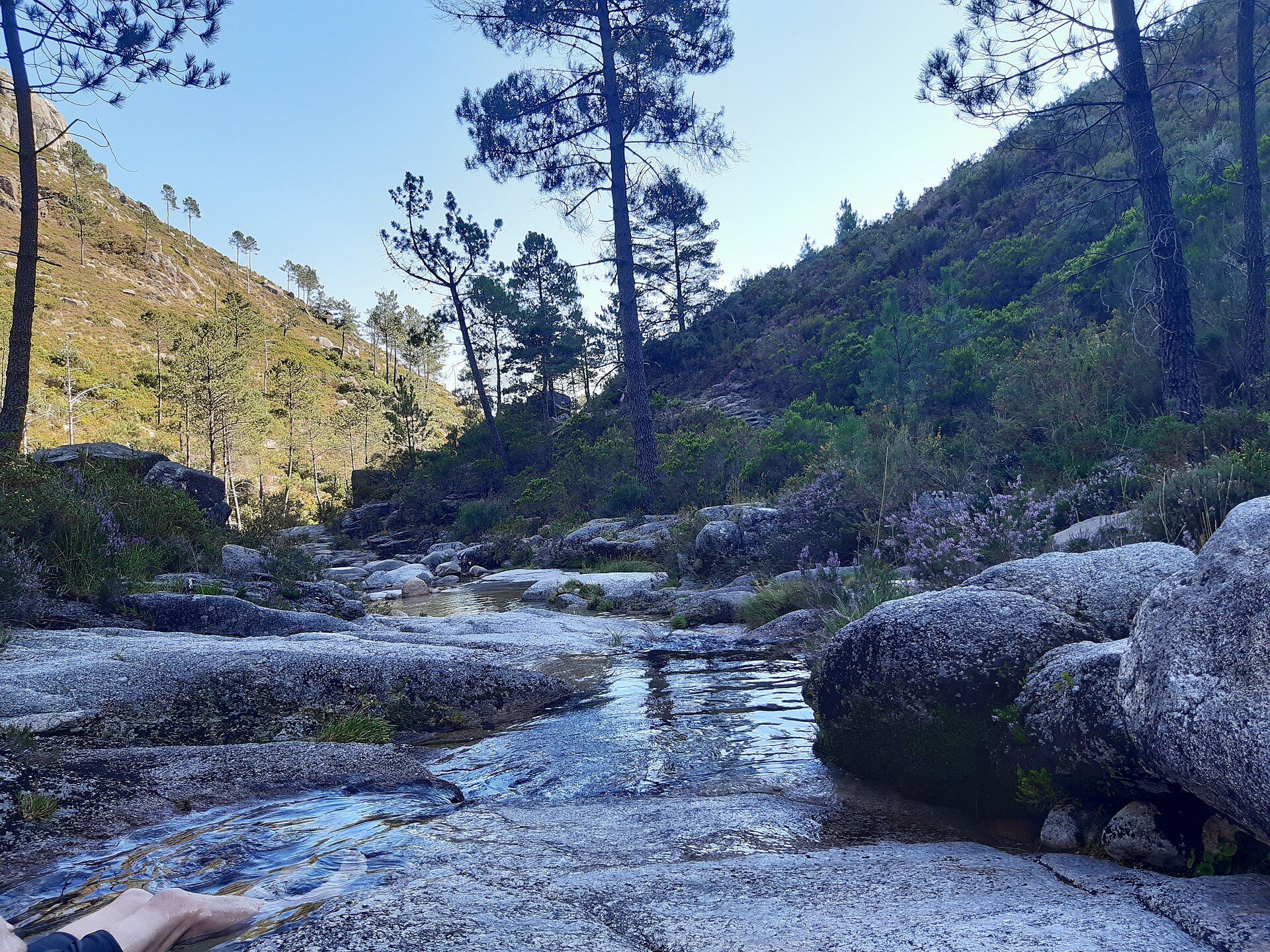
Peneda-Gerês National Park
- Natural Parks
Arrábida Natural Park
- Natural Parks
Vale do Guadiana Natural Park
- Natural Parks
Ria Formosa Natural Park
- Natural Parks
Madeira Natural Park
- Natural Parks
São Miguel Natural Park
Travellers' notes
Tips and experiences from people who have been here.
No notes yet. Be the first to share a tip.