A coastal lagoon stretching about 60 kilometres along the eastern Algarve, sheltered by barrier islands and rich in birdlife. The visitor centre at Quinta de Marim, near Olhão, has a 2.5 kilometre nature trail.
About this place
Ria Formosa Natural Park protects the largest wetland in southern Portugal: a lagoon system that runs for about 60 kilometres along the Algarve coast, from the Ancão peninsula to Manta Rota. It covers roughly 18,000 hectares in the municipalities of Loulé, Faro, Olhão, Tavira and Vila Real de Santo António. The area became a nature reserve in 1978 and was reclassified as a natural park in 1987.
The lagoon is separated from the Atlantic by a chain of dunes made up of two peninsulas, Ancão and Cacela, and five barrier islands: Barreta, Culatra, Armona, Tavira and Cabanas. Behind them lies a maze of channels, salt marshes, mudflats, salt pans and freshwater ponds that is uncovered at low tide. It is a Ramsar wetland of international importance and a Special Protection Area for birds, a stopover for species migrating between northern Africa and Europe, and home to the chameleon, a reptile that in Portugal lives only on the Algarve coast.
The best place to start is the Marim Environmental Education Centre, on a former farm beside the lagoon just east of Olhão, which also houses the park headquarters and an interpretation centre. A signposted circular trail of 2.5 kilometres passes 23 information stations, among them salt marsh, dunes, shellfish beds, pine wood, Roman fish-salting tanks, a waterwheel and a tide mill, with two bird hides and a picnic area along the way. Other marked routes include the São Lourenço and Ludo trails and a walk on Barreta island, also known as Deserta, which is reached by ferry from Faro.
The park is the responsibility of the national conservation institute ICNF and has been co-managed since 2021 by a commission chaired by the mayor of Faro, which works on promotion, communication and environmental awareness. To reach Quinta de Marim, follow the EN125 from Faro towards Vila Real de Santo António and turn right at the natural park sign about one kilometre after Olhão. Visitors are asked to stay on the existing paths, not to pick plants or disturb animals, and to keep noise down.
Location
Faro37.0323, -7.8177
Nearby
- Agritourism
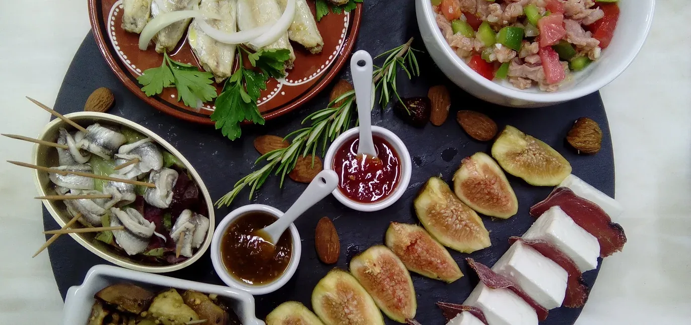
Quinta da Fornalha
- Nature Reserves
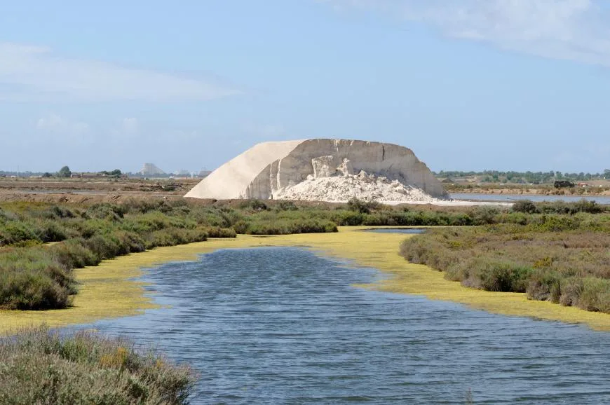
Castro Marim and Vila Real de Santo António Marsh Nature Reserve
- Nature Trails
Sete Vales Suspensos Trail (Seven Hanging Valleys)
- Natural Parks
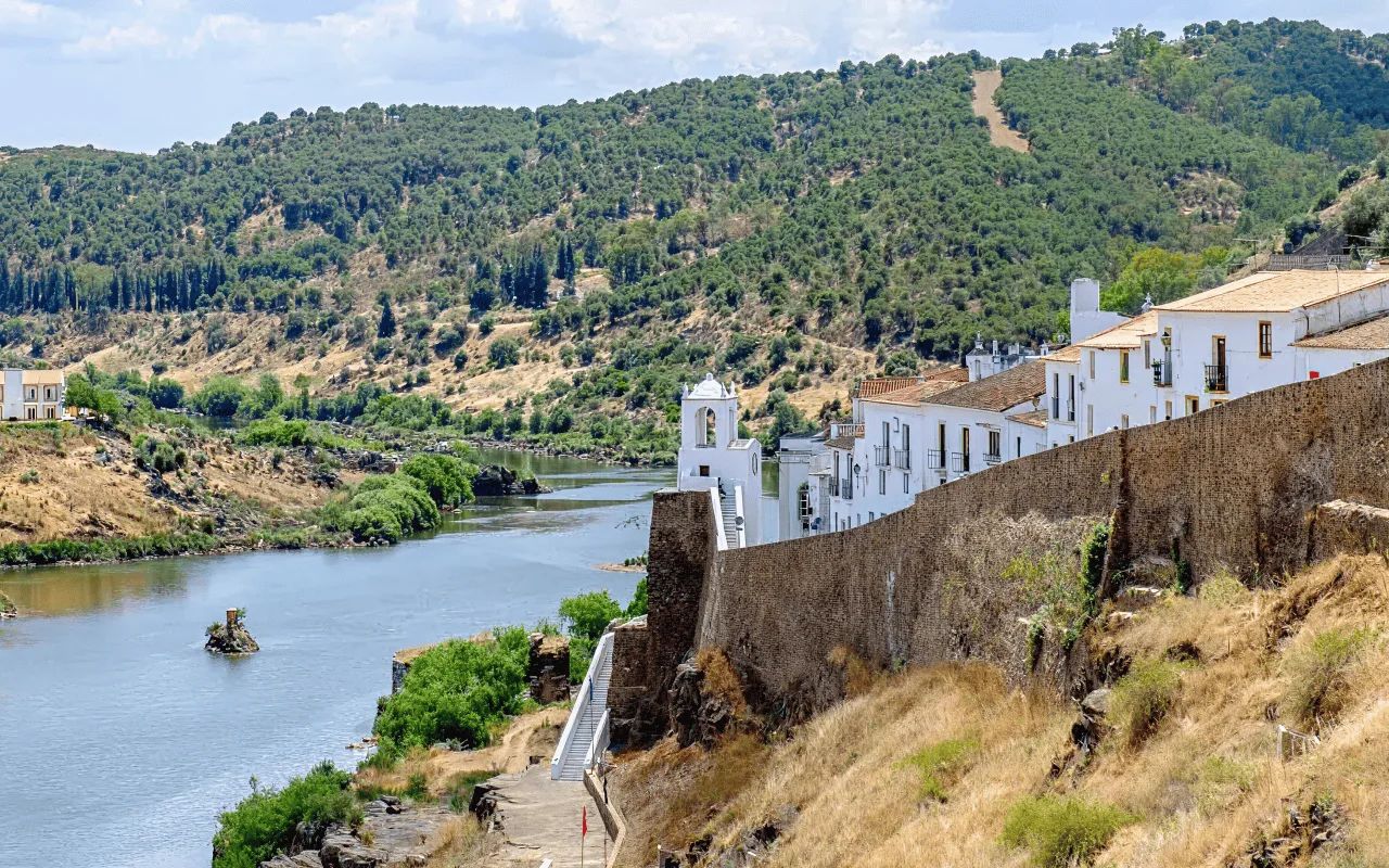
Vale do Guadiana Natural Park
- Nature Trails
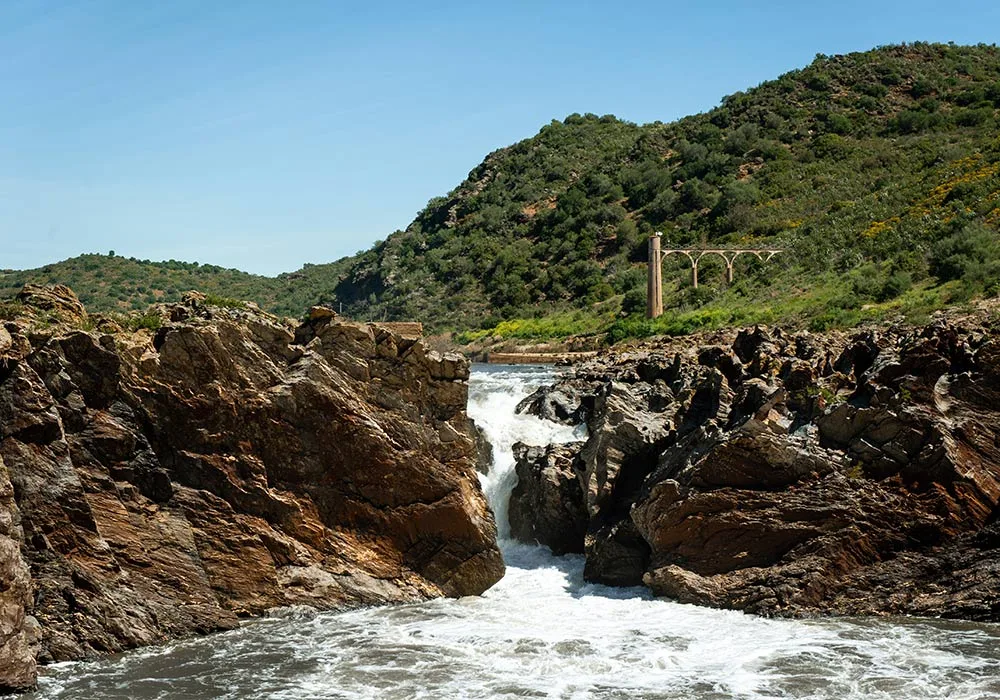
PR9 Between the Escalda and Pulo do Lobo
- Eco Stays
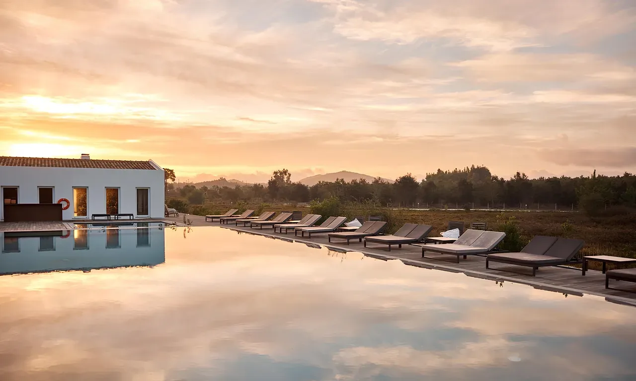
Craveiral Farmhouse
- Natural Parks
Sudoeste Alentejano e Costa Vicentina Natural Park
- Greenways
Reguengos Greenway
Photos from travellers
Sent by people who have been here.
No traveller photos yet. Been here? Share yours.
More places in Natural Parks
- Natural Parks
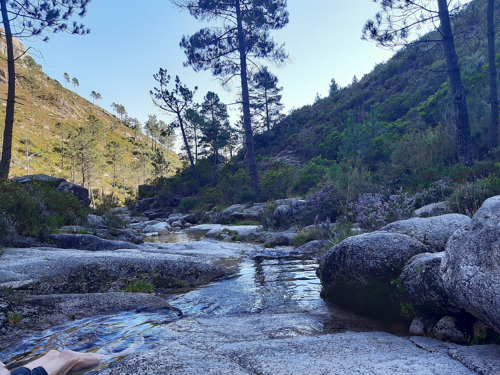
Peneda-Gerês National Park
- Natural Parks
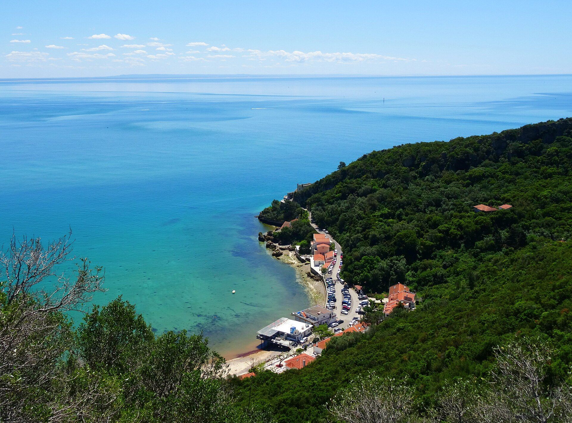
Arrábida Natural Park
- Natural Parks
Vale do Guadiana Natural Park
- Natural Parks
Sudoeste Alentejano e Costa Vicentina Natural Park
- Natural Parks
Madeira Natural Park
- Natural Parks
São Miguel Natural Park
Travellers' notes
Tips and experiences from people who have been here.
No notes yet. Be the first to share a tip.