Regional protected landscape of about 6,000 hectares on six ridges just east of Porto, shared by Gondomar, Paredes and Valongo. Paleozoic rocks and fossils, Roman gold mines, river valleys and a network of waymarked trails.
About this place
Serras do Porto Park is a regional protected landscape in the Porto Metropolitan Area, in the district of Porto. It covers close to 6,000 hectares on six ridges immediately east of the city (Santa Justa, Pias, Castiçal, Santa Iria, Flores and Banjas), separated by the valleys of the rivers Ferreira and Sousa, in the municipalities of Gondomar, Paredes and Valongo. The three municipalities formed an association in April 2016 to manage the area, and its classification as a protected landscape was published in March 2017. A large part of it is also a Natura 2000 site.
The ridges belong to the Valongo anticline, with some of the oldest rocks in Portugal, formed more than 500 million years ago when the region lay under the sea. Slates and quartzites hold fossils of trilobites and other marine animals. The Romans mined gold here on a large scale, and their shafts and galleries, known locally as fojos, are found across the hills. Today the damp old mines shelter the gold-striped salamander, an amphibian found only in the north-west of the Iberian Peninsula and the symbol of the park. Rare ferns, the peregrine falcon, the otter and the stag beetle also live here.
Eucalyptus plantations cover most of the hills (about 69 per cent of the area, according to official figures from 2017), and wildfire prevention is a priority. The association of municipalities is restoring the landscape step by step: controlling invasive plants such as acacias and hakeas, improving habitats and planting oaks and cork oaks. According to the park, more than 200 hectares have been treated, and the LIFE Serras do Porto project plans work on over 400 hectares more and the planting of about 160,000 native trees and shrubs, together with ponds, riverbank repair and volunteer days.
Visitors come mainly to walk. The trail network has one long-distance route of about 59 kilometres, the GR 62, and 17 shorter waymarked routes linking the six ridges and the two valleys; there are also routes for mountain biking, trail running and horse riding. Reception and interpretation centres at Santa Justa in Valongo, Senhora do Salto in Paredes and São Pedro da Cova in Gondomar explain the geology and the Roman mines. Picnic areas include the village of Couce and Senhora do Salto, in the valley of the river Sousa. Stay on the marked paths, because old mine shafts may be hidden by vegetation, and check the park's notices before setting out, as wildfires have affected some routes on the Flores and Banjas ridges.
By road, the N209 leads into the park from Gondomar and Valongo, and the N15 and N319 from Paredes. By public transport, the area is reached by train on the Douro line or by bus to Valongo, from where a signposted walking route, the Ecological Corridor, leads from the town to the village of Couce.
Location
Porto41.1269, -8.4523
Nearby
- Agritourism

Casa Valxisto
- Outdoor Fun

LIPOR Adventure Park and Ecological Trail (Parque Aventura da LIPOR)
- Restaurants

Venn Canteen
- Eco Stays

Octant Douro
- Organic Shops
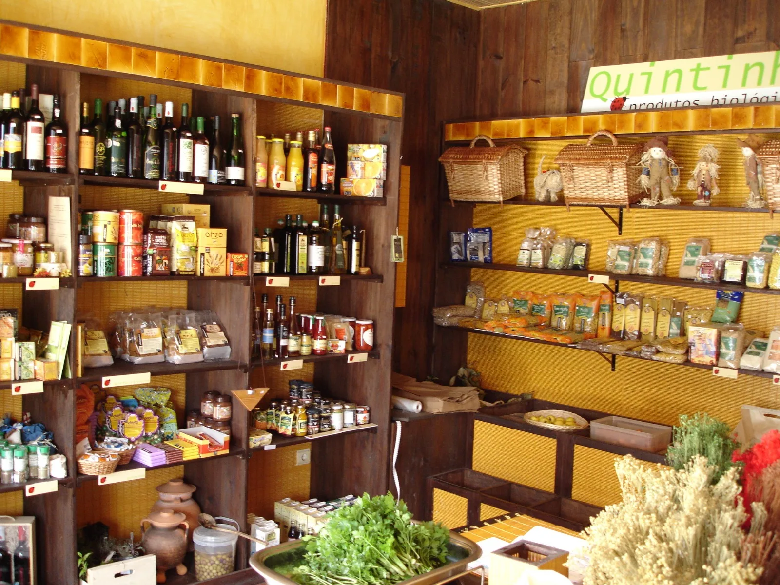
Quintinha – Organic Products
- Organic Shops

IdealBio
- Restaurants

Em Carne Viva
- Greenways

Leça Green Corridor
Photos from travellers
Sent by people who have been here.
No traveller photos yet. Been here? Share yours.
More places in Natural Parks
- Natural Parks
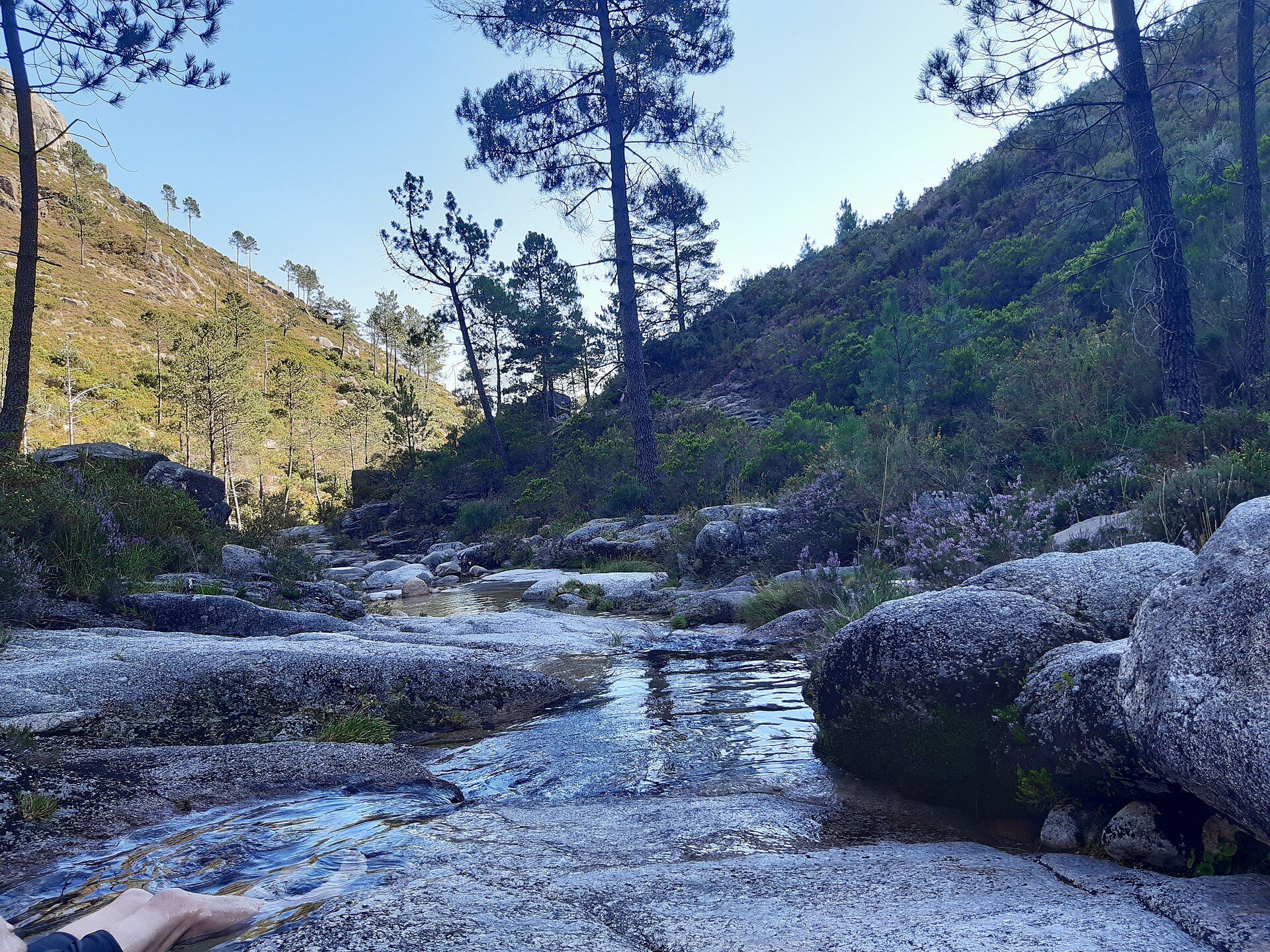
Peneda-Gerês National Park
- Natural Parks
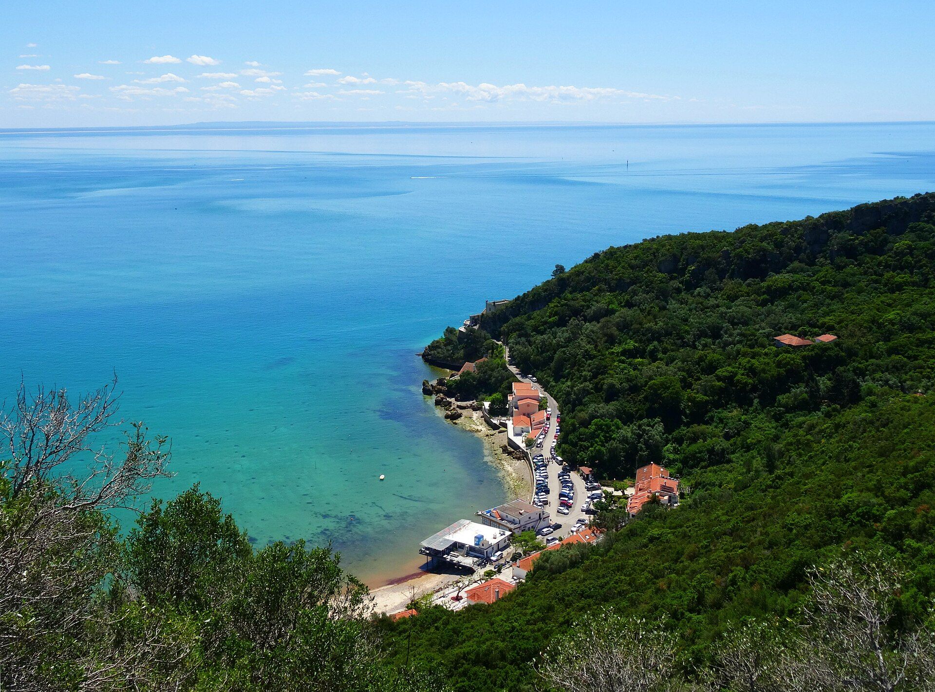
Arrábida Natural Park
- Natural Parks
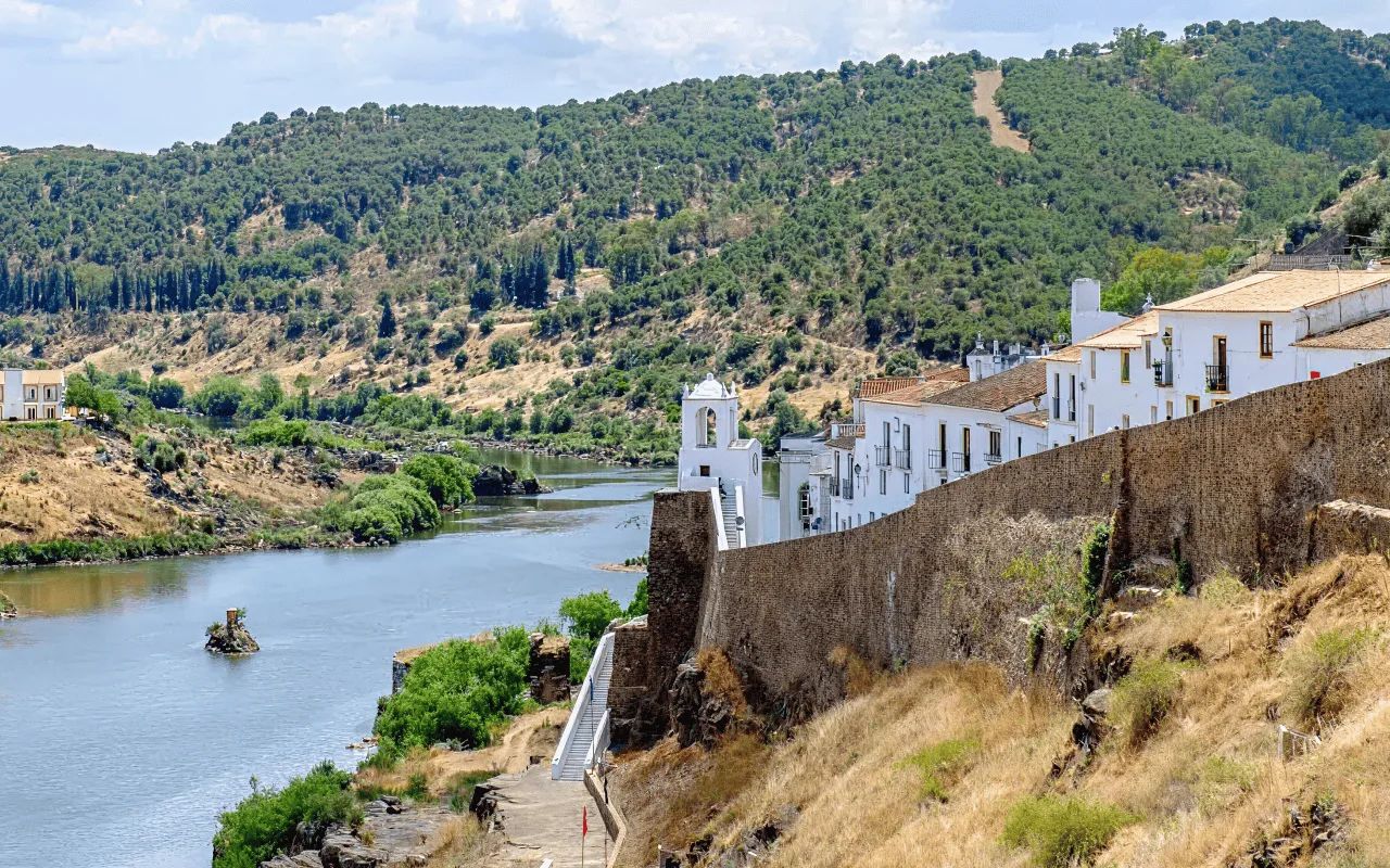
Vale do Guadiana Natural Park
- Natural Parks
Ria Formosa Natural Park
- Natural Parks
Sudoeste Alentejano e Costa Vicentina Natural Park
- Natural Parks
Madeira Natural Park
- Natural Parks
São Miguel Natural Park
- Natural Parks
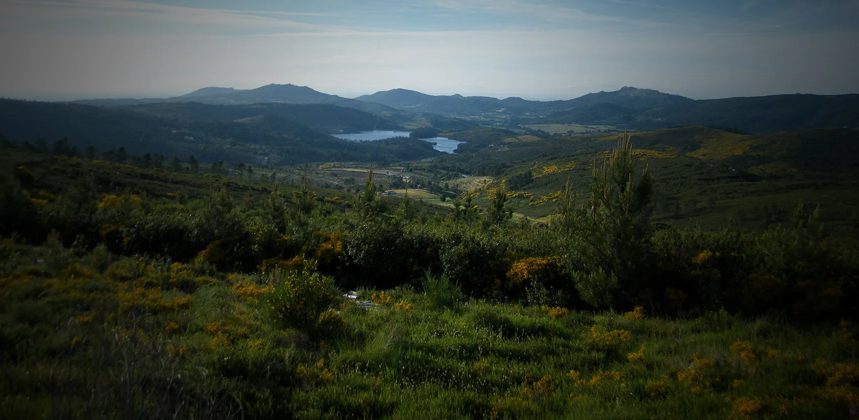
Serra de São Mamede Natural Park
- Natural Parks
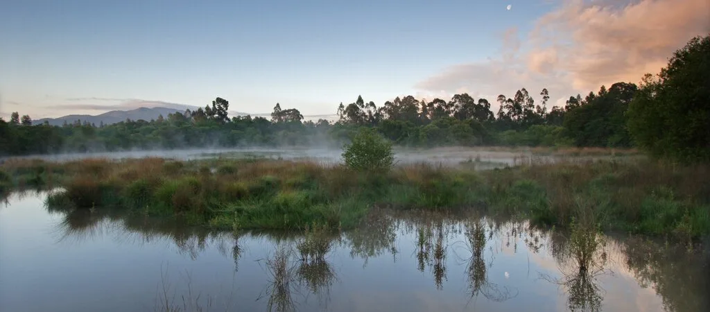
Lagoas de Bertiandos e São Pedro de Arcos Protected Landscape
- Natural Parks
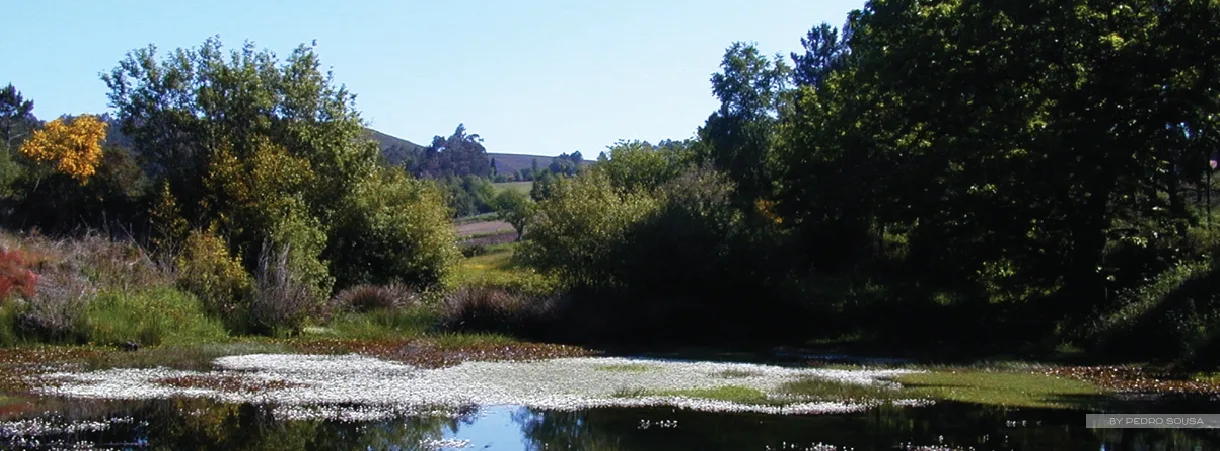
Corno de Bico Protected Landscape
- Natural Parks
Sintra-Cascais Natural Park
- Natural Parks
Serra de Montejunto Protected Landscape
- Natural Parks
Serras de Aire e Candeeiros Natural Park
- Natural Parks

Tejo Internacional Natural Park
- Natural Parks

Serra do Açor Protected Landscape
- Natural Parks

Serra da Estrela Natural Park
- Natural Parks
Serra da Gardunha Regional Protected Landscape
- Natural Parks

Litoral de Vila do Conde and Mindelo Ornithological Reserve Regional Protected Landscape
- Natural Parks
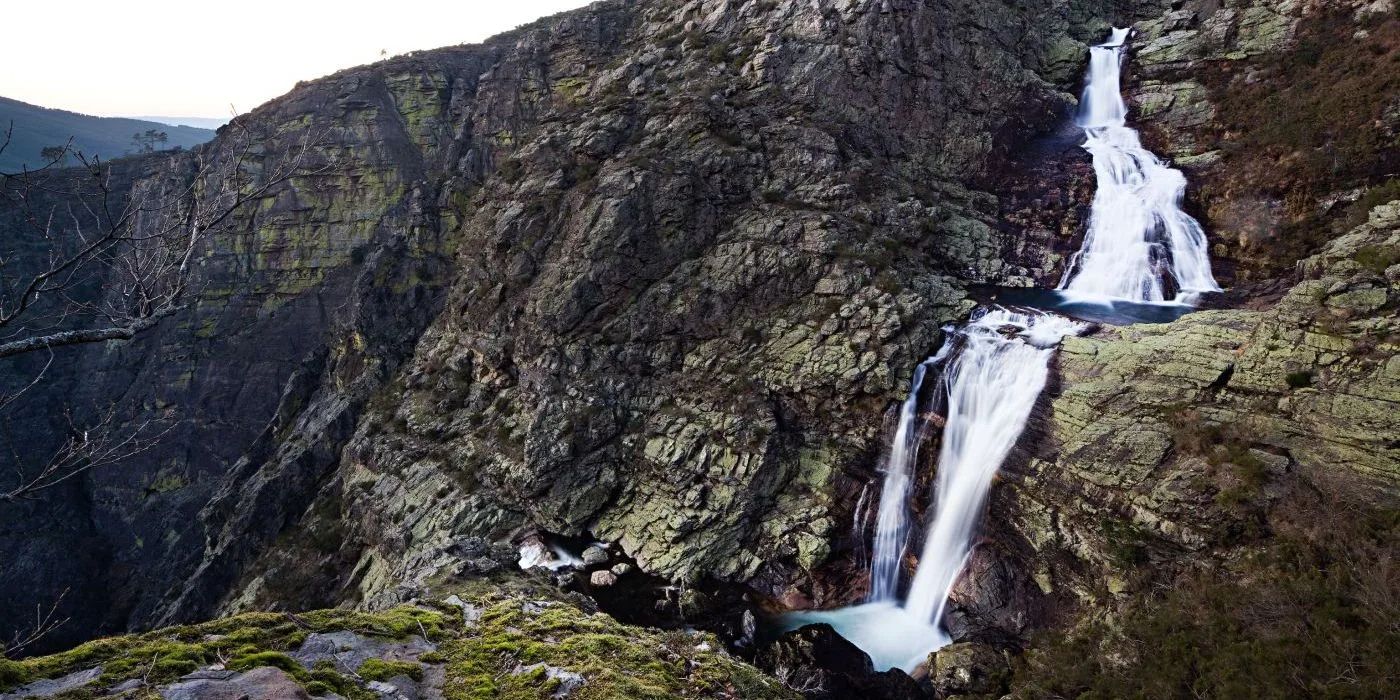
Alvão Natural Park
- Natural Parks
Montesinho Natural Park
- Natural Parks
Litoral Norte Natural Park
- Natural Parks
Douro Internacional Natural Park
- Natural Parks
Arriba Fóssil da Costa da Caparica Protected Landscape
- Natural Parks

Albufeira do Azibo Protected Landscape
- Natural Parks
Vale do Tua Regional Natural Park
- Natural Parks
Serras do Socorro e Archeira Local Protected Landscape
Travellers' notes
Tips and experiences from people who have been here.
No notes yet. Be the first to share a tip.