Natural park of about 89,000 hectares on the highest mountain range of mainland Portugal, rising to 1,993 metres at Torre. Glacial valleys, lagoons, peat bogs and high pastures, with mountain villages, signposted trails and interpretation centres.
About this place
Serra da Estrela Natural Park covers the heart of the Estrela massif, the highest range in mainland Portugal, in the interior of the Centro region. Created in July 1976, it marked its 50th anniversary in 2026. It extends over about 89,000 hectares in six municipalities: Celorico da Beira, Gouveia, Guarda, Manteigas and Seia, in the district of Guarda, and Covilhã, in the district of Castelo Branco. Its highest point, Torre, reaches 1,993 metres.
The mountain is the best record in Portugal of the last ice age. Glaciers carved U-shaped valleys such as that of the Zêzere, which runs for about 13 kilometres above Manteigas, and left behind lagoons, moraines, huge boulders and peat bogs on the high plateau. Granite and schist dominate, and three rivers rise here: the Mondego, the Zêzere and the Alva. This heritage earned the range its status as a UNESCO geopark, the Estrela Geopark.
Mediterranean, Atlantic and continental influences meet on the slopes, so the vegetation changes with altitude, from oak and chestnut woods to scrub and high pastures. Isolation on the summits has produced plants and animals found nowhere else, such as the local Iberian rock lizard. Part of the park is a Council of Europe biogenetic reserve, almost all of it belongs to the Natura 2000 network, and the upper plateau and the head of the Zêzere are a Ramsar wetland. The park is co-managed by a commission chaired by the mayor of Manteigas, with the conservation institute ICNF, the municipalities and local bodies. Shepherding still shapes the landscape: this is the home of the Serra da Estrela sheep, dog and cheese.
Walkers find signposted routes throughout the park, among them the Glacier Route from Manteigas, of about 17 kilometres, and the Loriga Gorge Route, of almost 9; around Manteigas alone there is a network of some 200 kilometres of trails. Interpretation centres in Seia, in the Zêzere valley near Manteigas and at Torre explain the mountain, and Portugal's only ski resort lies near the summit. Avoid the highest and most isolated areas in fog. By road, Gouveia is reached on the N232 from Mangualde, Seia on the N231 from Nelas, and Covilhã and Guarda from the A23 motorway. The park's head office is in Manteigas.
Location
Guarda40.4342, -7.5183
Nearby
- Traditional Crafts

Burel Factory – Wool Mill in Manteigas
- Nature Trails

Poço do Inferno Trail (PR1 MTG Rota do Poço do Inferno)
- Ecoparks

Gouveia Ecological Park
- Agritourism
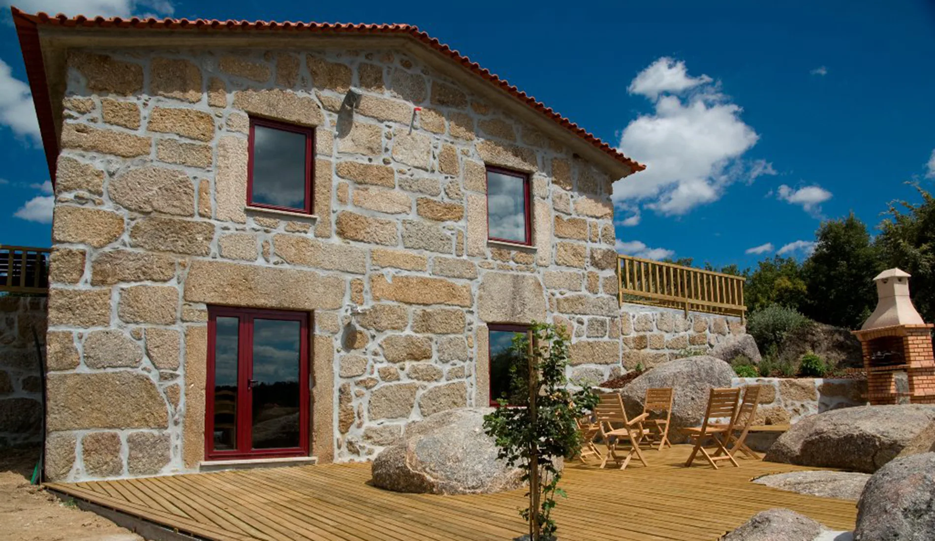
Quinta da Caramuja
- Outdoor Fun
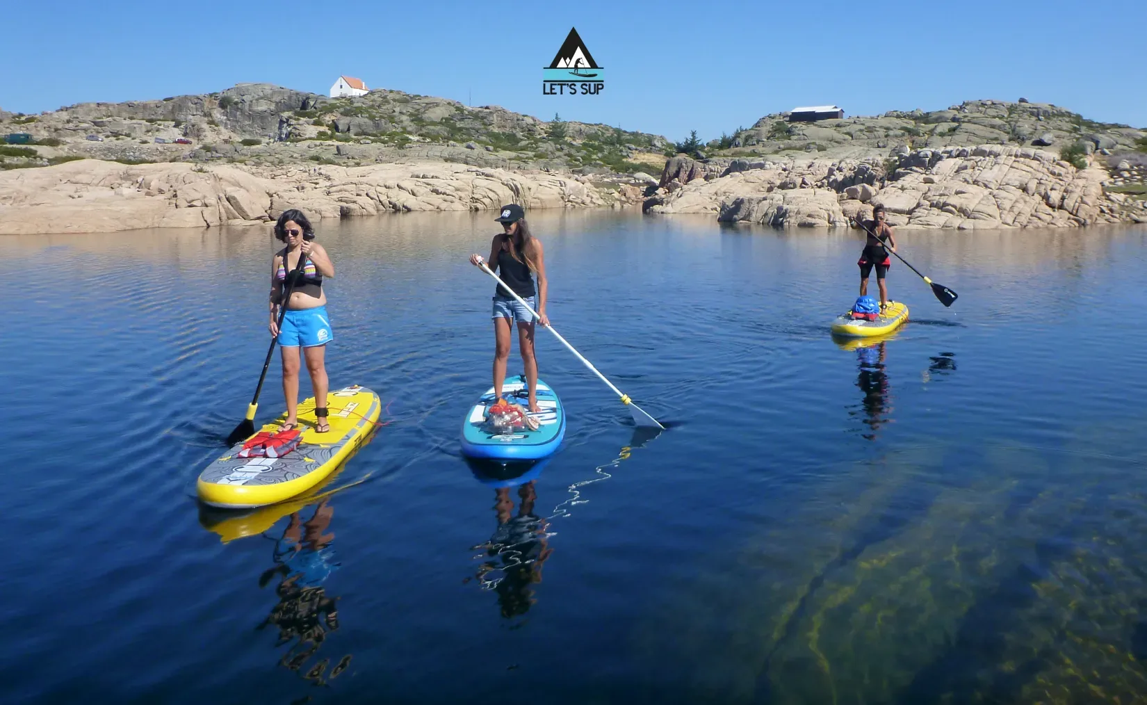
Let's SUP – Stand Up Paddle School & Tours
- Ecoparks
Serra da Estrela Interpretation Centre (CISE)
- Nature Trails

Mondego Walkways (Passadiços do Mondego)
- Agritourism

Quinta da Sra. Marocas
Photos from travellers
Sent by people who have been here.
No traveller photos yet. Been here? Share yours.
More places in Natural Parks
- Natural Parks
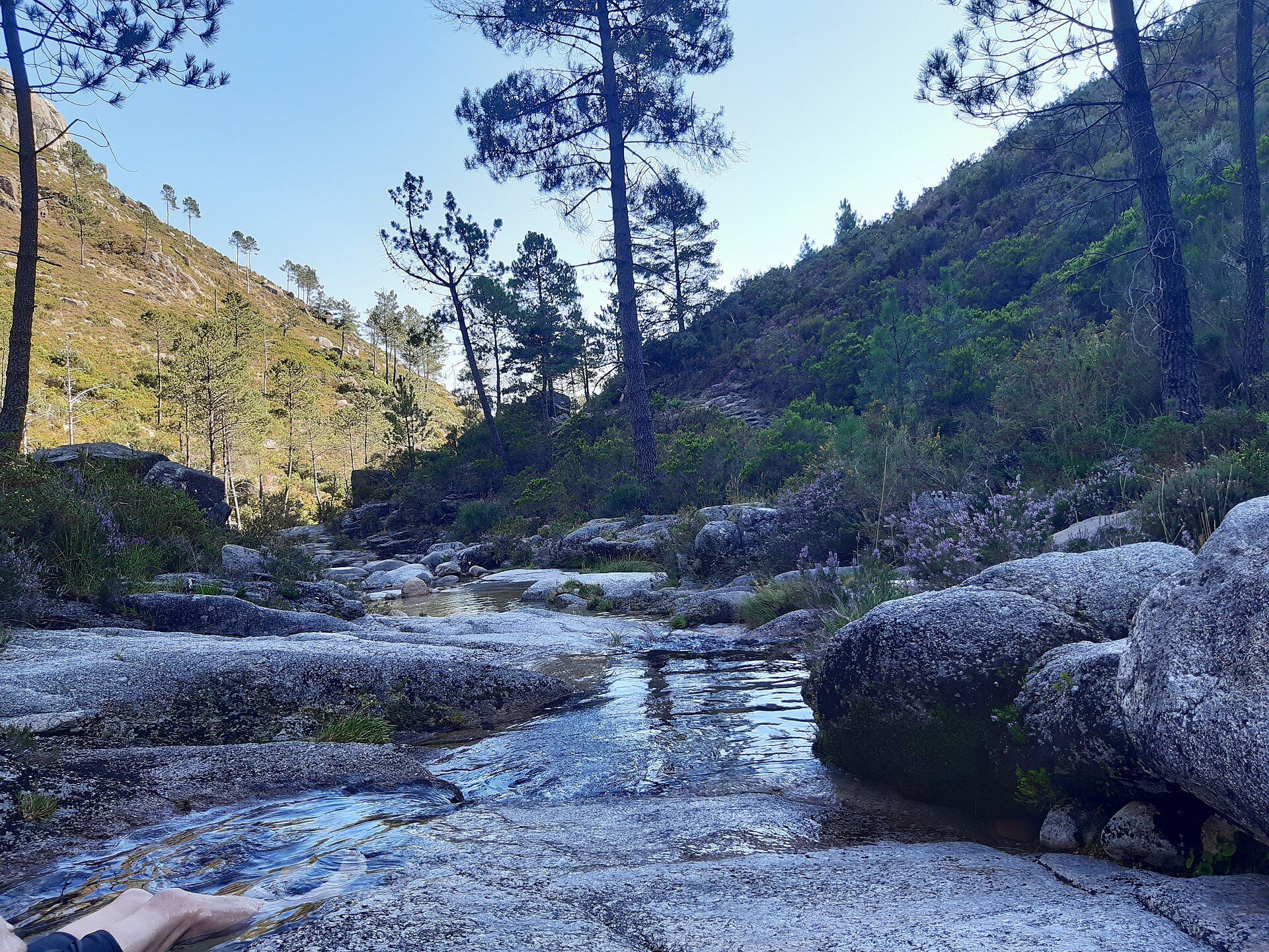
Peneda-Gerês National Park
- Natural Parks
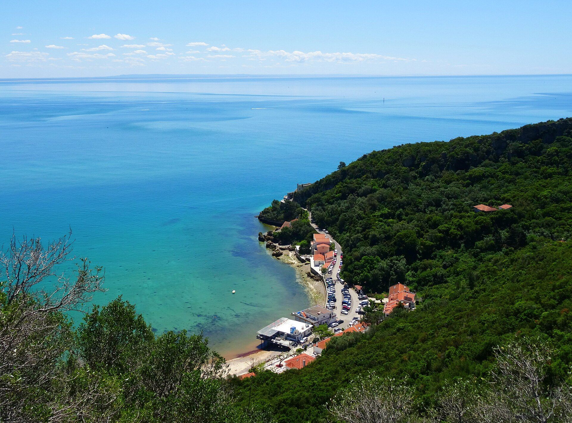
Arrábida Natural Park
- Natural Parks
Vale do Guadiana Natural Park
- Natural Parks
Ria Formosa Natural Park
- Natural Parks
Sudoeste Alentejano e Costa Vicentina Natural Park
- Natural Parks
Madeira Natural Park
- Natural Parks
São Miguel Natural Park
- Natural Parks
Serra de São Mamede Natural Park
- Natural Parks
Lagoas de Bertiandos e São Pedro de Arcos Protected Landscape
- Natural Parks
Corno de Bico Protected Landscape
- Natural Parks
Sintra-Cascais Natural Park
- Natural Parks
Serra de Montejunto Protected Landscape
- Natural Parks
Serras de Aire e Candeeiros Natural Park
- Natural Parks

Tejo Internacional Natural Park
- Natural Parks

Serra do Açor Protected Landscape
- Natural Parks
Serra da Gardunha Regional Protected Landscape
- Natural Parks
Serras do Porto Park
- Natural Parks

Litoral de Vila do Conde and Mindelo Ornithological Reserve Regional Protected Landscape
- Natural Parks
Alvão Natural Park
- Natural Parks
Montesinho Natural Park
- Natural Parks
Litoral Norte Natural Park
- Natural Parks
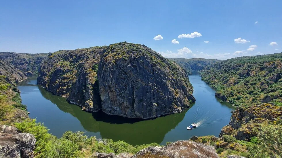
Douro Internacional Natural Park
- Natural Parks
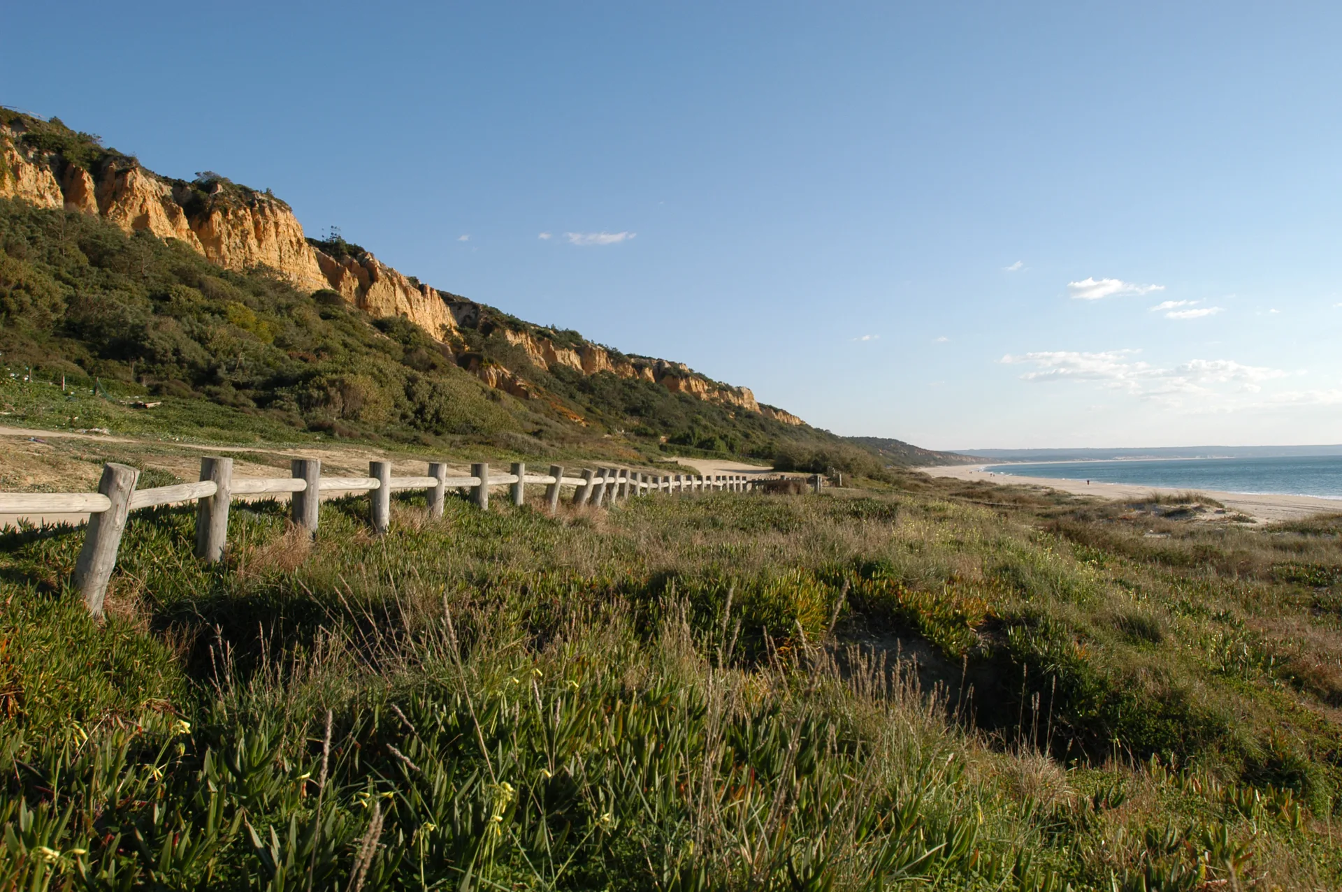
Arriba Fóssil da Costa da Caparica Protected Landscape
- Natural Parks

Albufeira do Azibo Protected Landscape
- Natural Parks
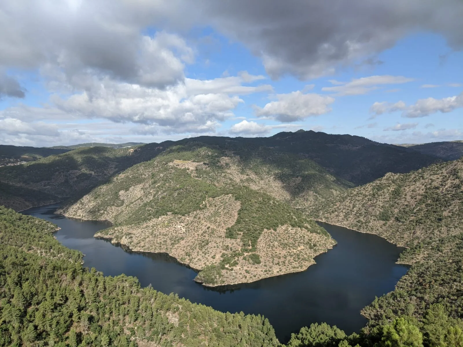
Vale do Tua Regional Natural Park
- Natural Parks
Serras do Socorro e Archeira Local Protected Landscape
Travellers' notes
Tips and experiences from people who have been here.
No notes yet. Be the first to share a tip.