One of Portugal's largest protected areas: about 74,000 hectares of rounded hills, oak and chestnut woods and stone villages in the far north-east, along the Spanish border north of Bragança and Vinhais. Home to wolves, red deer and more than 120 breeding bird species.
About this place
Montesinho Natural Park occupies the north of the municipalities of Bragança and Vinhais, in the district of Bragança, in the cold uplands known as Terra Fria Transmontana. Spain borders it on three sides. Created in August 1979, it covers about 74,000 hectares and is lived in: around 9,000 people in 92 villages. The land is a sequence of rounded hills cut by deep river valleys, rising from 438 metres on the river Mente to 1,486 metres on the Serra de Montesinho. Schist is the dominant rock, with granite on the Montesinho range.
Woods of Pyrenean oak and sweet chestnut, whose nut is the symbol of the park, alternate with broom, heather and rockrose scrub, riverside woodland, natural hay meadows and dry-farmed fields. According to ICNF, about 70 per cent of the land animal species found in Portugal occur here. There are more than 120 breeding bird species, among them the golden eagle and the black stork, and one of the country's most important populations of Iberian wolf, as well as red deer, roe deer, otter and wildcat. Rivers such as the Sabor, Maçãs, Baceiro, Tuela and Rabaçal hold trout.
The villages are part of the attraction. Houses are built of schist or, in a few villages, granite, and many places still have communal ovens, forges, watermills and presses, along with the round dovecotes typical of the region. Rio de Onor, split by the border, is known for its communal traditions; Montesinho, at about 1,000 metres, gave the park its name; Gimonde has an old schist bridge of six arches. Chestnut groves are the main permanent crop, and the smoked sausages of Vinhais have their own fair.
The park is best explored on foot. Signposted routes include Porto Furado, a circuit of about 8 kilometres from the village of Montesinho up to the Serra Serrada reservoir, a walk around Rio de Onor, and others at Vilarinho, Moimenta and along the river Tuela; some can be cycled. In September the roar of rutting red deer can be heard. Autumn brings colour to the chestnut groves and oak woods. From Bragança, roads lead north towards França and Montesinho, Varge and Rio de Onor, and Cova de Lua; from Vinhais, the road towards Sobreiró de Cima enters the western part. The park head office is in Bragança, with a second office in Vinhais.
Location
Bragança41.8624, -6.7642
Nearby
- Eco Stays

Bétula Studios
- Eco Stays
Cepo Verde Campsite
- Eco Stays
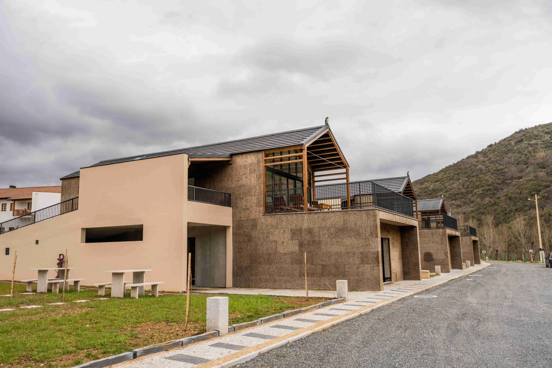
Montesinho Eco-Resort
- Nature Trails
Rio de Onor Trail (PR11 BGC O Lado Português de Rio de Onor)
- Outdoor Fun
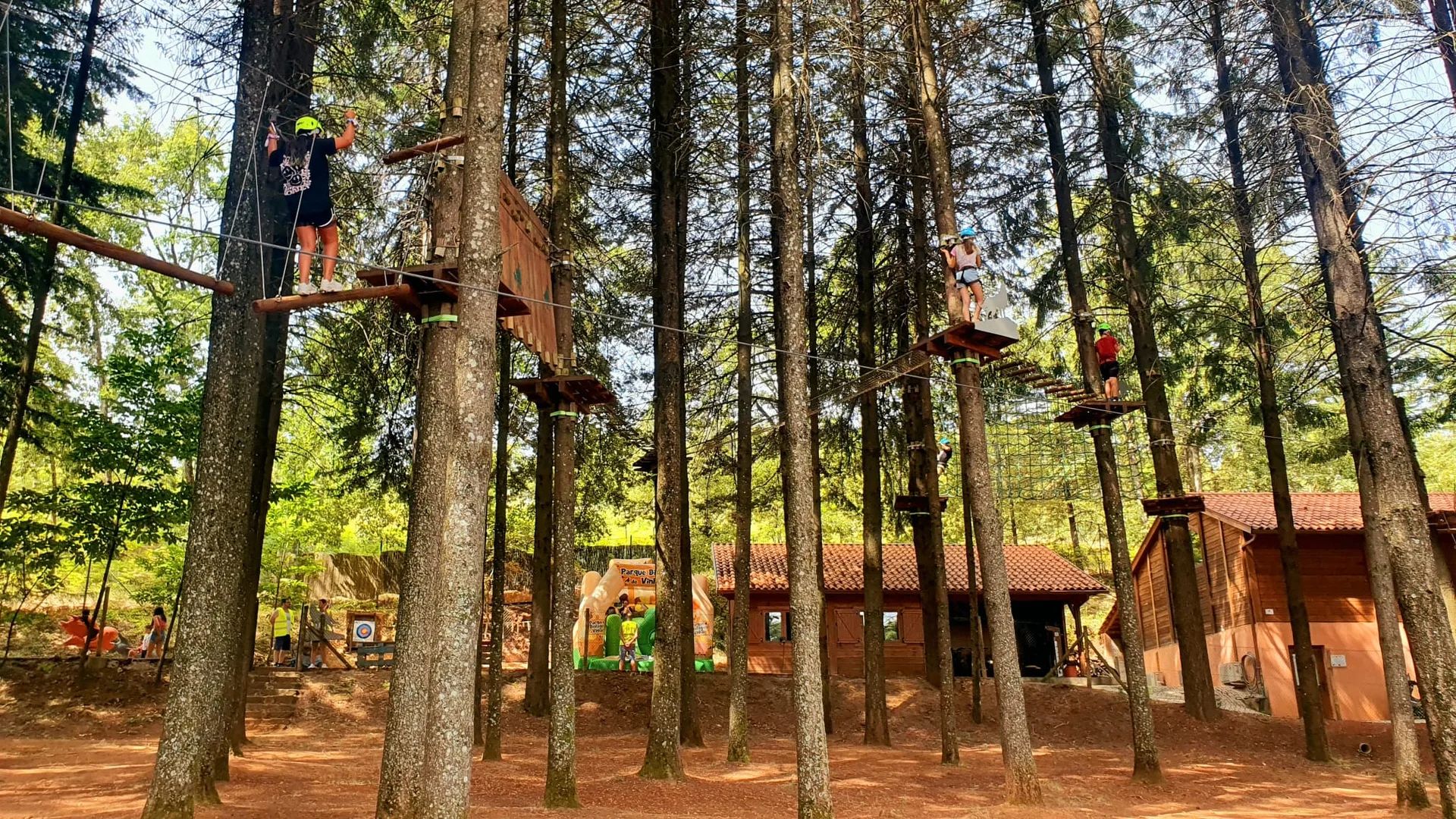
Vinhais Biological Park (Parque Biológico de Vinhais)
- Natural Parks

Albufeira do Azibo Protected Landscape
- Ecoparks
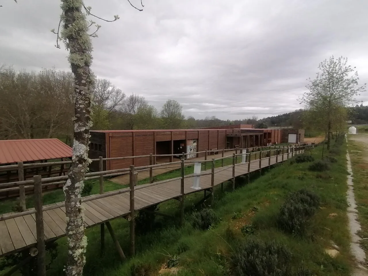
Iberian Nature and Adventure Park (PINTA)
- Craft Food

Quinta do Romeu
Photos from travellers
Sent by people who have been here.
No traveller photos yet. Been here? Share yours.
More places in Natural Parks
- Natural Parks
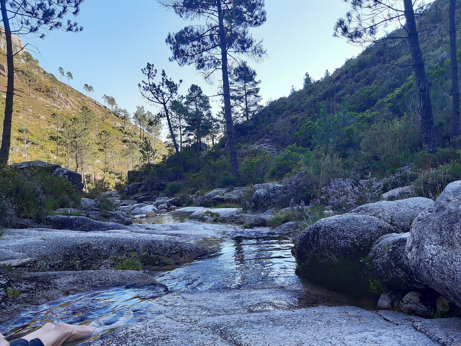
Peneda-Gerês National Park
- Natural Parks
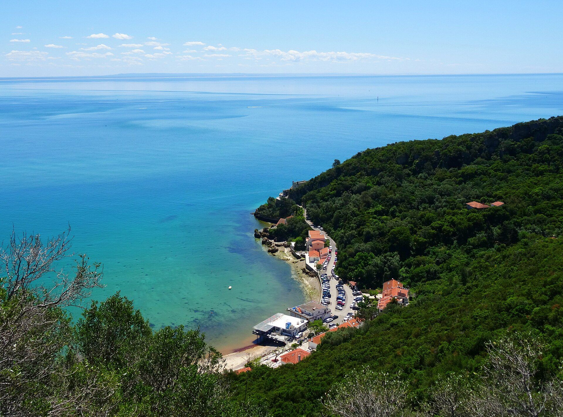
Arrábida Natural Park
- Natural Parks
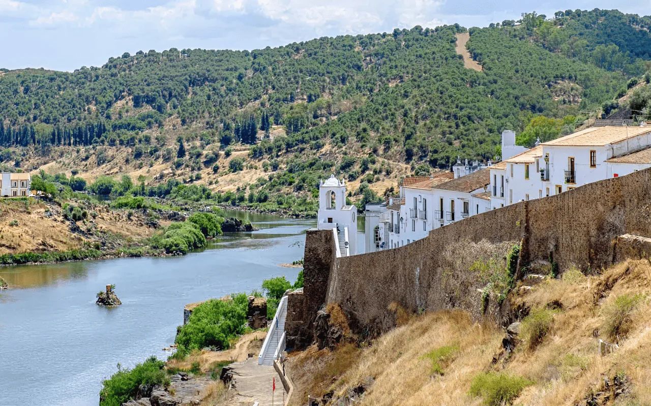
Vale do Guadiana Natural Park
- Natural Parks
Ria Formosa Natural Park
- Natural Parks
Sudoeste Alentejano e Costa Vicentina Natural Park
- Natural Parks
Madeira Natural Park
- Natural Parks
São Miguel Natural Park
- Natural Parks
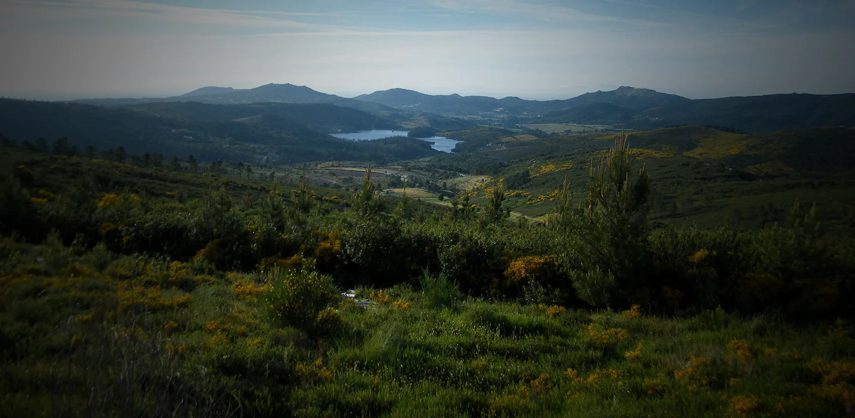
Serra de São Mamede Natural Park
- Natural Parks
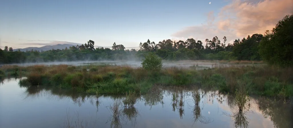
Lagoas de Bertiandos e São Pedro de Arcos Protected Landscape
- Natural Parks
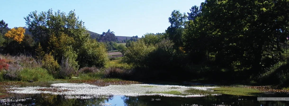
Corno de Bico Protected Landscape
- Natural Parks
Sintra-Cascais Natural Park
- Natural Parks
Serra de Montejunto Protected Landscape
- Natural Parks
Serras de Aire e Candeeiros Natural Park
- Natural Parks

Tejo Internacional Natural Park
- Natural Parks

Serra do Açor Protected Landscape
- Natural Parks

Serra da Estrela Natural Park
- Natural Parks
Serra da Gardunha Regional Protected Landscape
- Natural Parks
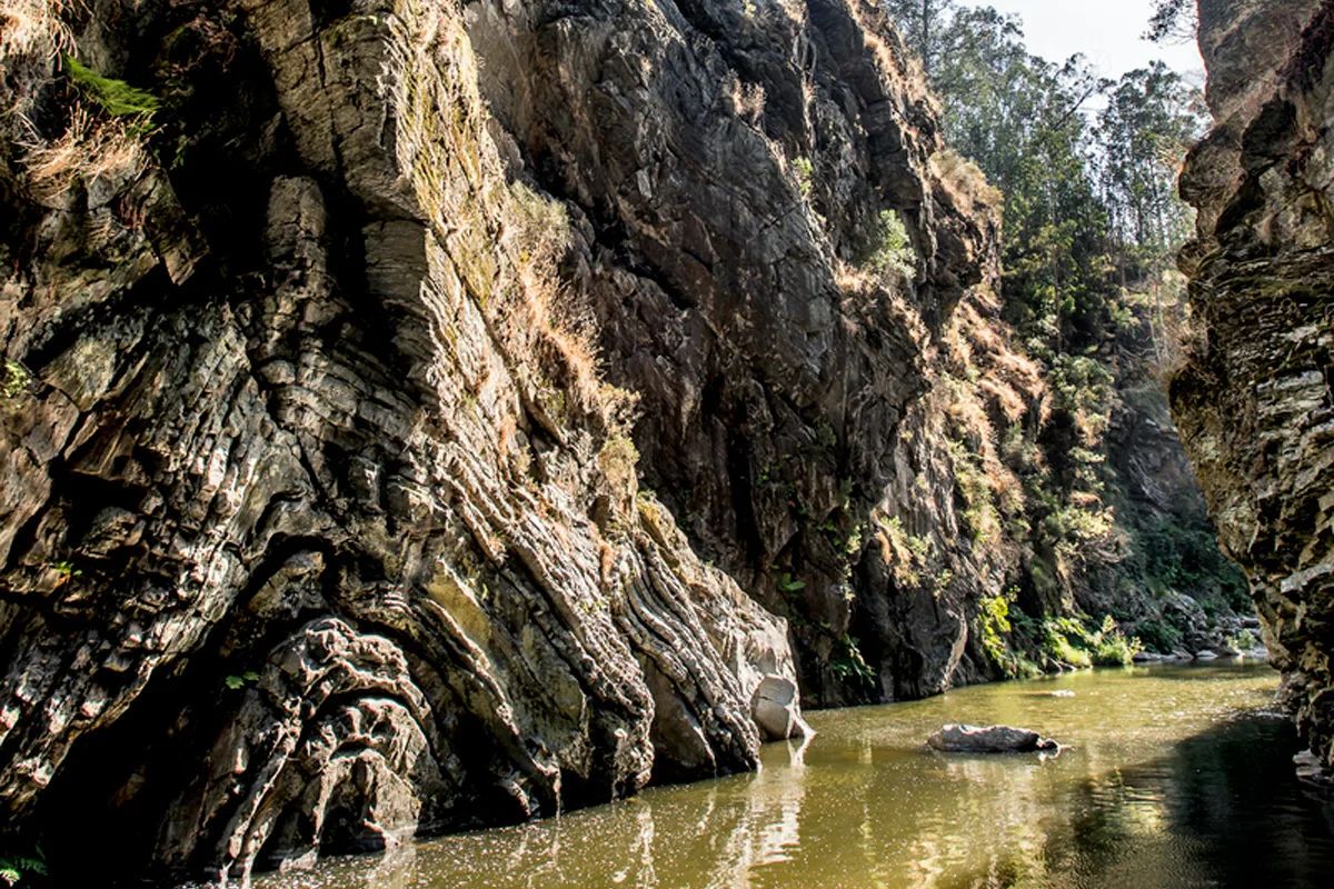
Serras do Porto Park
- Natural Parks

Litoral de Vila do Conde and Mindelo Ornithological Reserve Regional Protected Landscape
- Natural Parks
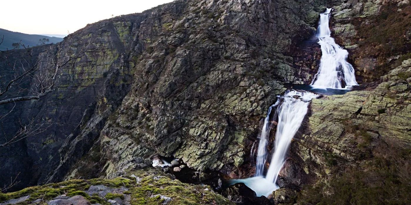
Alvão Natural Park
- Natural Parks
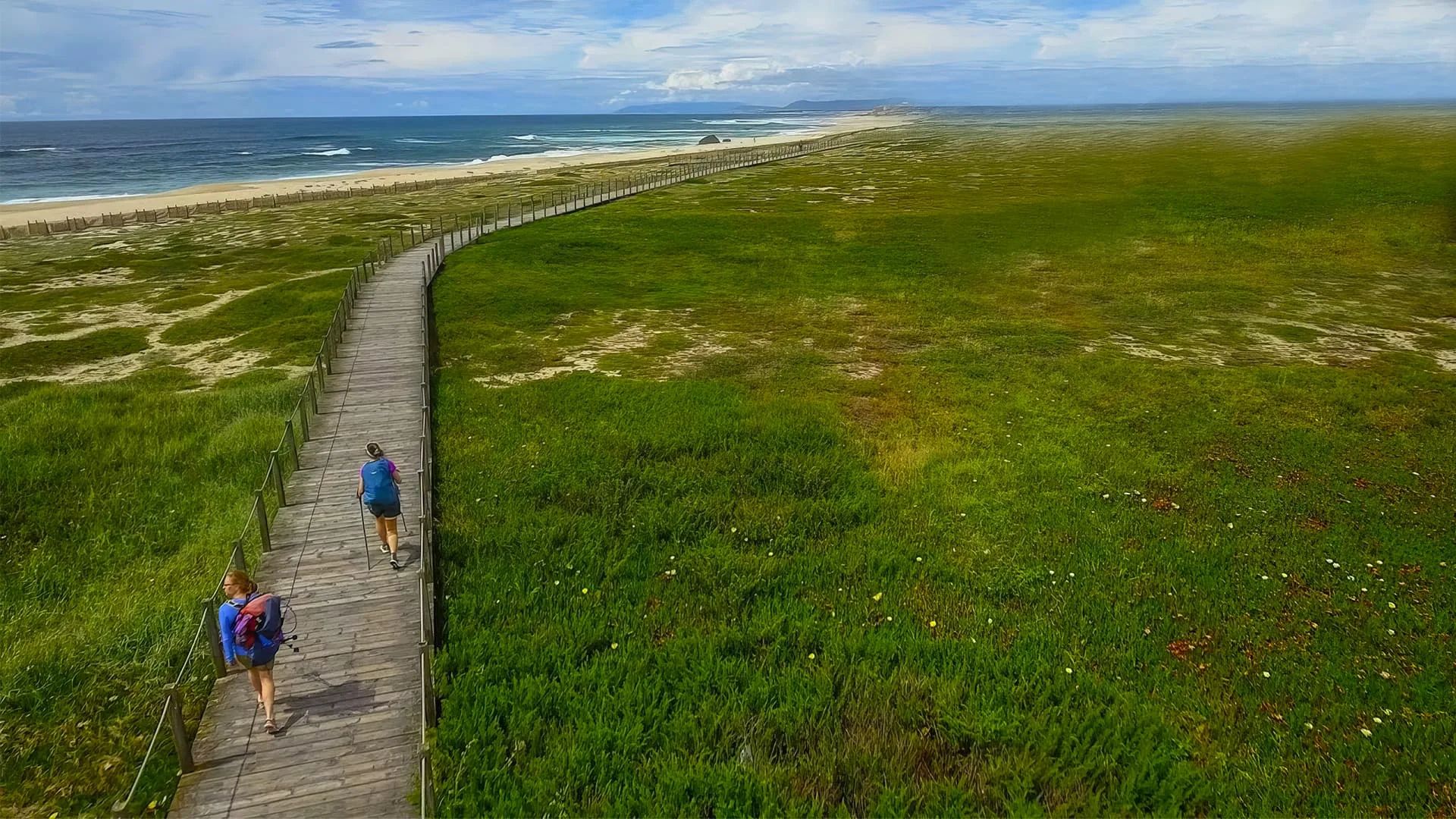
Litoral Norte Natural Park
- Natural Parks
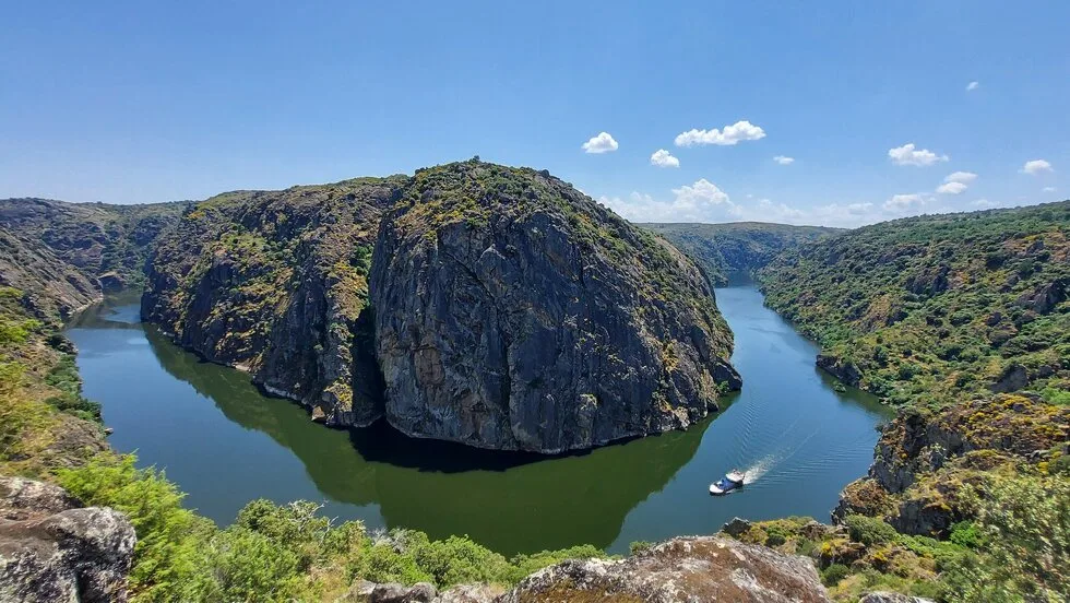
Douro Internacional Natural Park
- Natural Parks
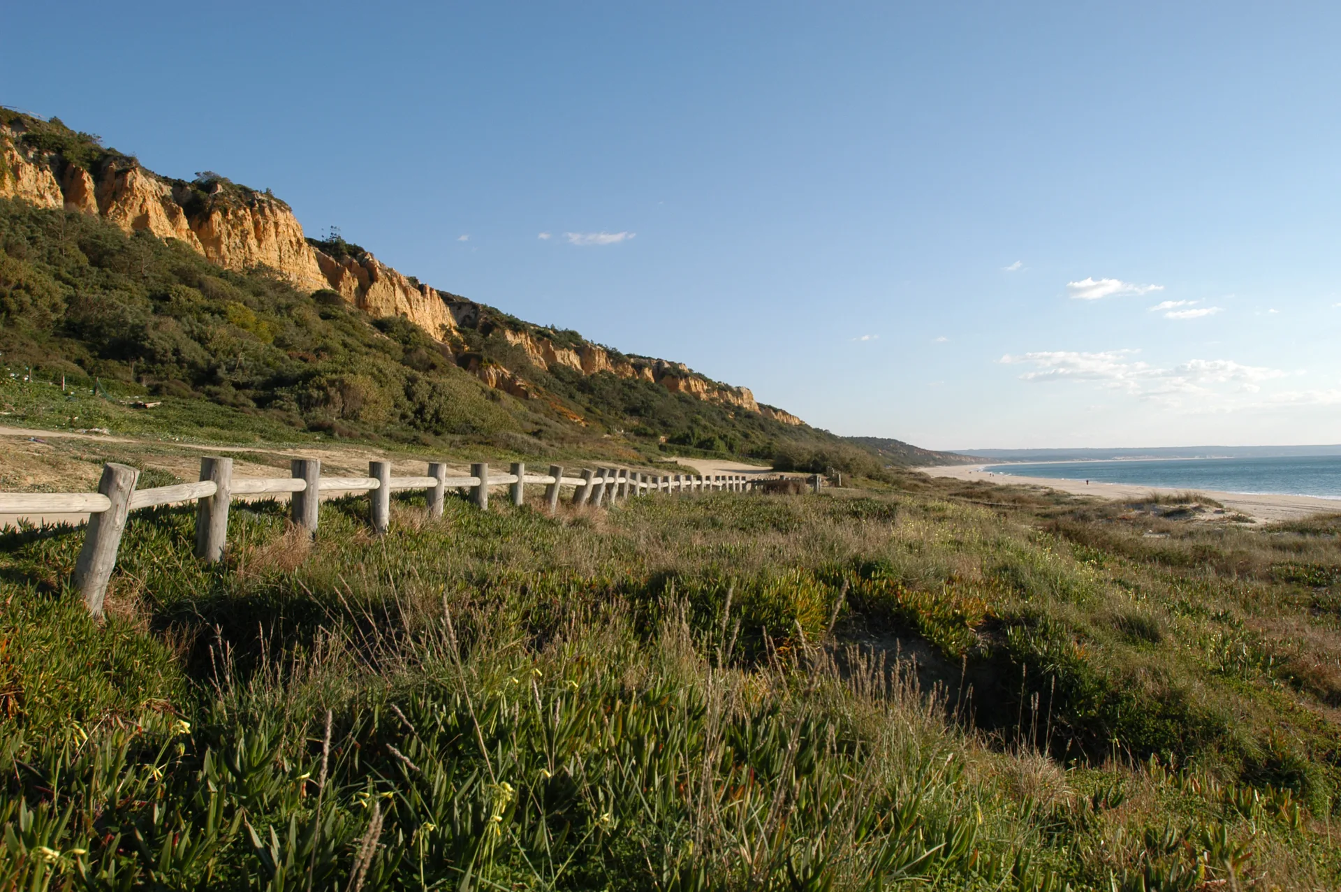
Arriba Fóssil da Costa da Caparica Protected Landscape
- Natural Parks
Albufeira do Azibo Protected Landscape
- Natural Parks
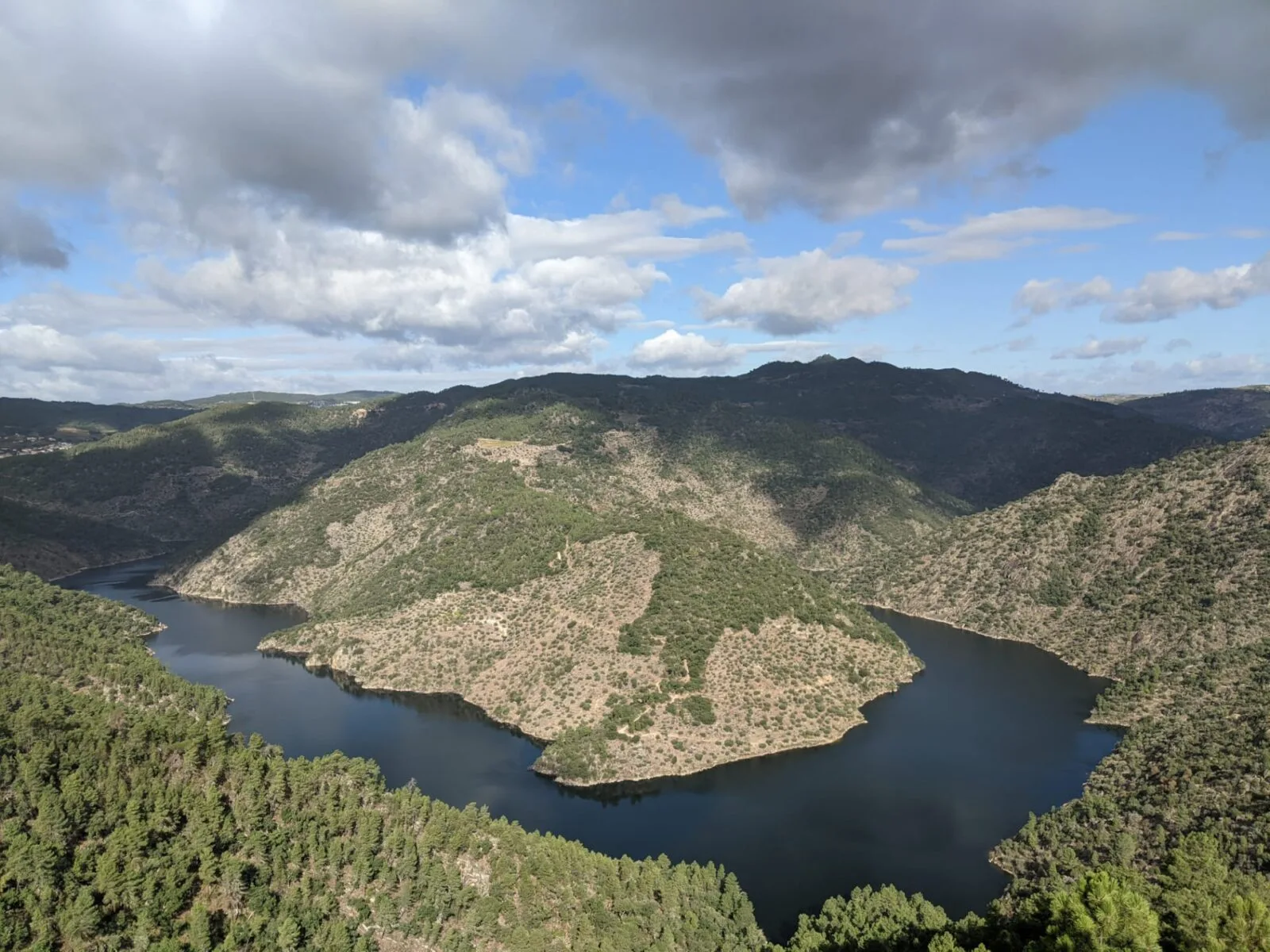
Vale do Tua Regional Natural Park
- Natural Parks
Serras do Socorro e Archeira Local Protected Landscape
Travellers' notes
Tips and experiences from people who have been here.
No notes yet. Be the first to share a tip.