A walking and cycling path along the river Leça in Matosinhos, just north of Porto: 13 km are open between Ponte da Pedra and Ponte do Carro, with new footbridges, old stone bridges, watermills and replanted banks.
About this place
The Corredor Verde do Leça is a linear park with a path for walkers and cyclists along the banks of the Leça, a river of about 46 kilometres that rises in Santo Tirso and reaches the sea at Matosinhos. For decades it was regarded as one of the most polluted rivers in Europe. In 2016 the four municipalities it crosses, Santo Tirso, Valongo, Maia and Matosinhos, began working together on its recovery, and in 2021 they set up an association of municipalities for that purpose.
Matosinhos built the first sections. The stretch between the Pedra and Moreira bridges, 6.9 kilometres including a branch to Picoutos, opened in July 2022, and the 6.1 kilometres from the Moreira bridge to the Carro bridge followed in July 2024, so that 13 kilometres are now open. The path is surfaced in permeable concrete, with a cycle track beside the footpath, and is closed to cars and motorcycles. It changes bank several times on metal bridges built for pedestrians and bicycles, and drops gently towards the sea.
Starting at Ponte da Pedra, where a Roman road once crossed the river, the route passes the monastery of Leça do Balio and its riverside park, an industrial area, the bridge of Ronfos and, further down, the Romanesque bridge of Dom Goimil, used by pilgrims on the coastal Way of St James, and the old Golfeiro and Pinguela watermills. Water points, bicycle stands and rest areas are spread along the way. Several stations of the Porto Metro are close to the path, among them Esposade, Custió and Parque Maia.
The project also covers the banks: stabilising eroded points, containing invasive plants and planting native trees such as alder, oak and willow. The river itself is still polluted. The municipality acknowledges that pollution has left it with few fish and hardly any amphibians; illegal discharges continue and the treatment plants of the basin are only now being modernised. A third phase, of about four kilometres downstream of the Carro bridge, was at the design stage when the second one opened, and the long-term aim is a continuous route along the whole river, from its source to the port of Leixões.
Location
Porto41.2052, -8.6147
Nearby
- Greenways
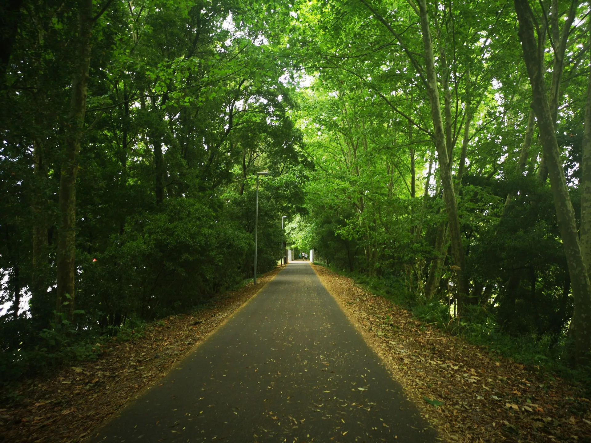
Ecocaminho da Maia Greenway
- Organic Shops

IdealBio
- Restaurants

Em Carne Viva
- Outdoor Fun

LIPOR Adventure Park and Ecological Trail (Parque Aventura da LIPOR)
- Restaurants

Venn Canteen
- Craft Food

Pão da Terra
- Eco Stays
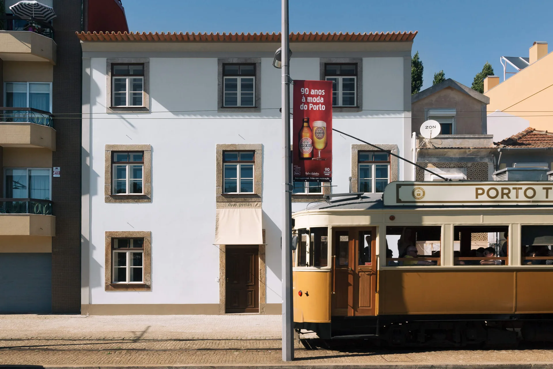
Duas Portas Townhouse
- Restaurants
Fava Tonka
Photos from travellers
Sent by people who have been here.
No traveller photos yet. Been here? Share yours.
More places in Greenways
- Greenways
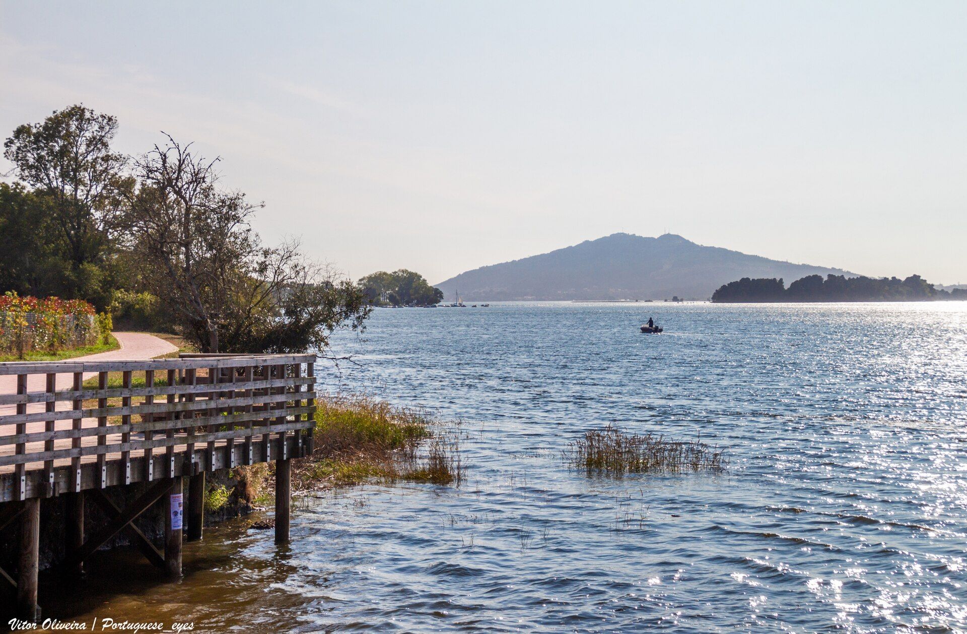
Minho Greenway
- Greenways
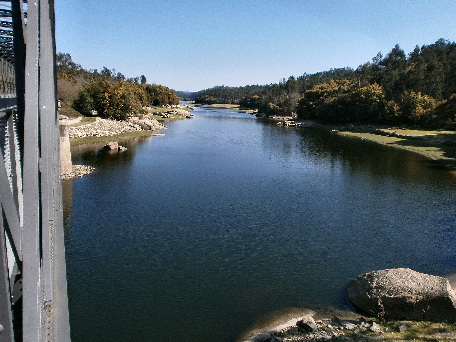
Dão Greenway
- Greenways
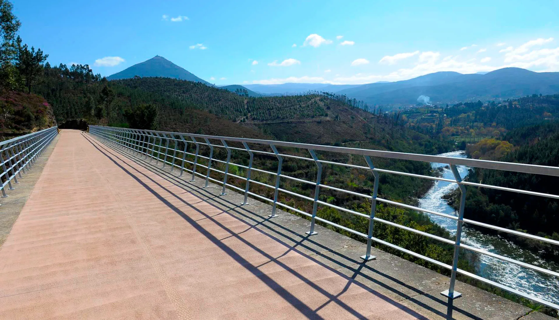
Tâmega Greenway
- Greenways
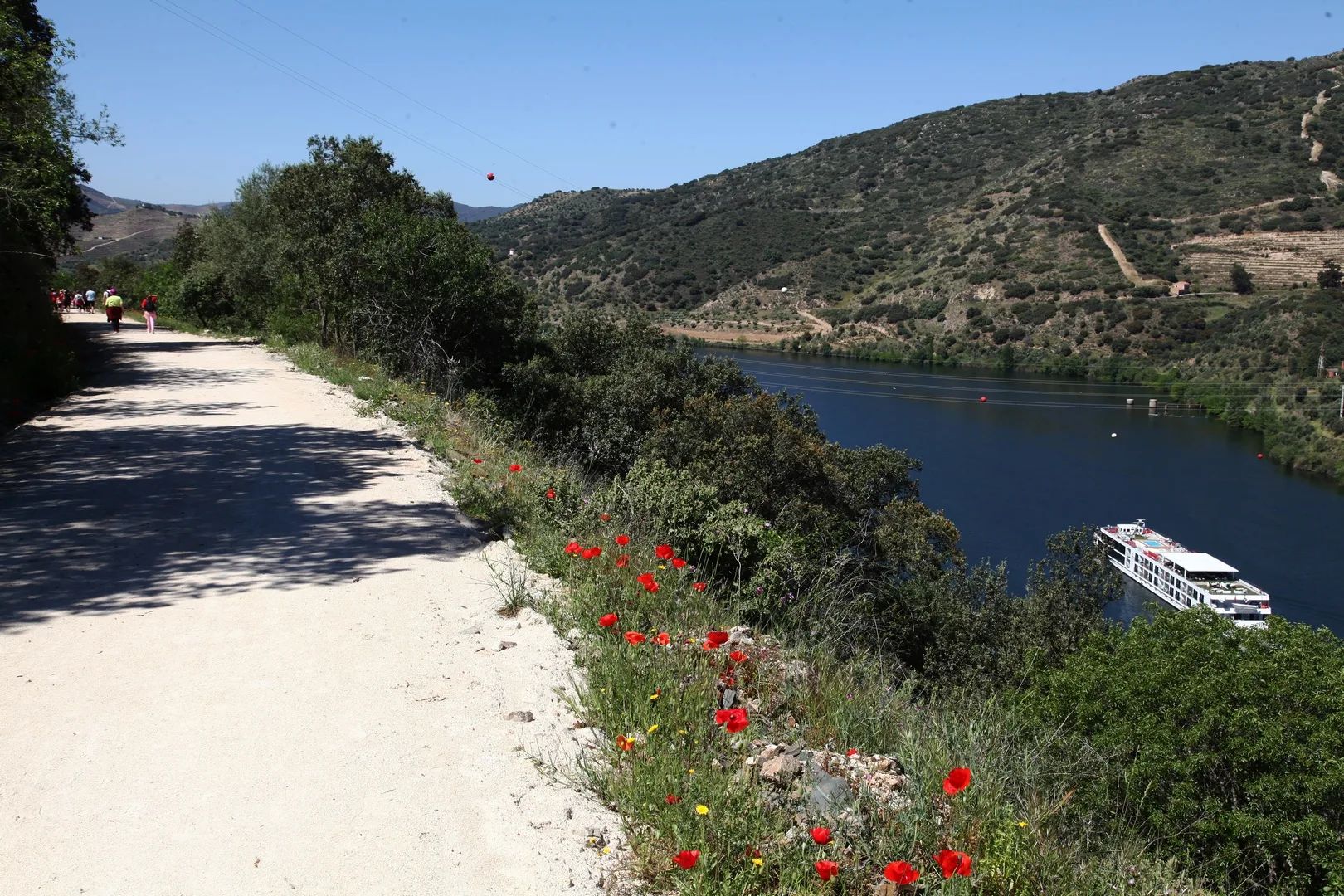
Sabor Greenway
- Greenways
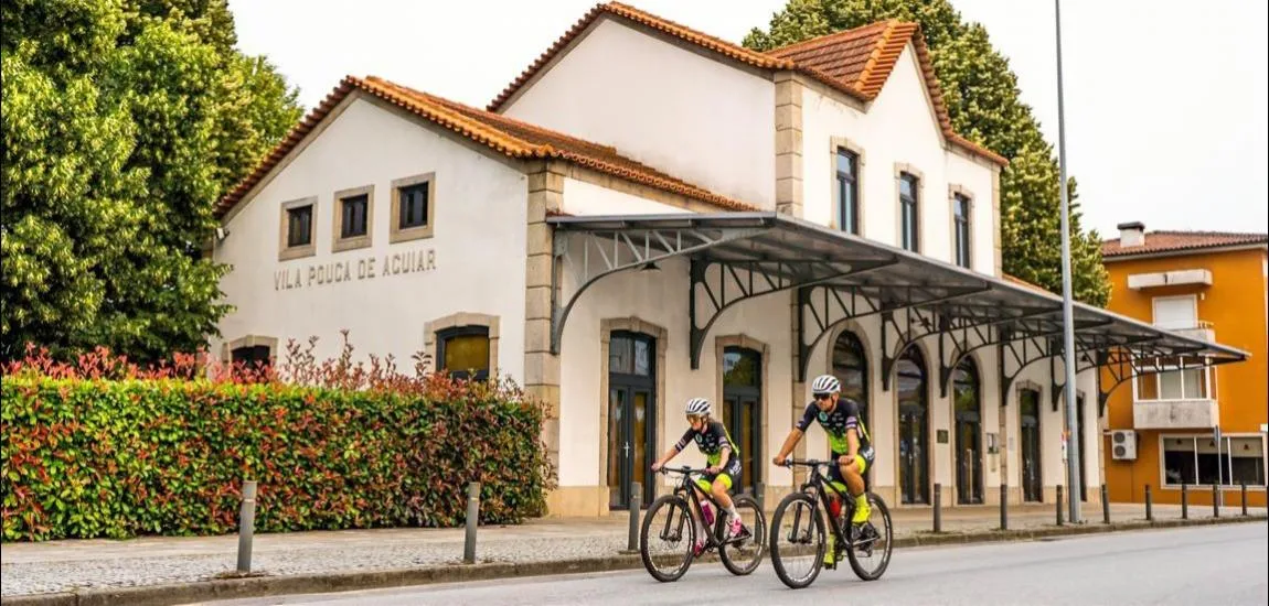
Corgo Greenway
- Greenways
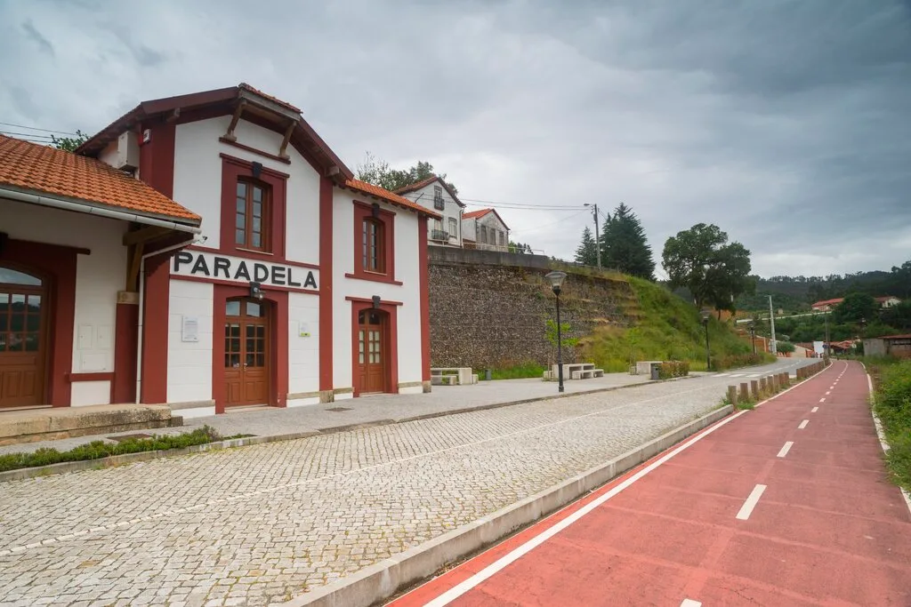
Vouga Greenway
- Greenways
Reguengos Greenway
- Greenways
Atoleiros–Sulfúrea Greenway
- Greenways
Montijo Greenway
- Greenways
Montado Greenway
- Greenways
Guimarães–Fafe Greenway
- Greenways
Famalicão Greenway
- Greenways
Porto de Mós Greenway
- Greenways
Mira Cycle and Walking Track
- Greenways

Vez Greenway
- Greenways
Tua Greenway
- Greenways
Loures Riverside Path
- Greenways
Mora Greenway
- Greenways

Lima River Greenway
- Greenways
Ecocaminho da Maia Greenway
- Greenways

Arda Greenway
- Greenways
Tâmega Riverside Greenway (Chaves–Verín)
- Greenways
Cávado Greenway
- Greenways
Monsanto Green Corridor
- Greenways

Polis Riverside Path (Percurso Polis), Leiria
- Greenways

Ave Greenway (Ecovia do Ave), Guimarães
Travellers' notes
Tips and experiences from people who have been here.
No notes yet. Be the first to share a tip.