A walking and cycling path of about 39 km on the former Tâmega railway line, from Amarante through Celorico de Basto to Arco de Baúlhe, above the Tâmega river.
About this place
The Ecopista do Tâmega reuses the bed of the Tâmega railway line, where trains stopped running in 1990. It runs for about 39 kilometres between the old station of Amarante and Arco de Baúlhe, in Cabeceiras de Basto, passing through Celorico de Basto, and is reserved for walkers and cyclists.
Because it follows a railway alignment the gradient is very gentle, which makes it accessible to most people. The old station of Celorico de Basto, in the town centre, is the hub of the route: it houses an interpretation centre on the history of the line, a shop selling local products, accommodation, bicycle hire and showers.
North of Celorico the path covers 17 kilometres to Arco de Baúlhe station, now home to a railway museum; the stretch before the Matamá bridge, at Veade, gives a wide view over the Tâmega. To the south it is about 22 kilometres to Amarante, through quiet forest, the village of Lourido and deep schist cuttings that open onto the valley.
Railway engineering is part of the experience: the route uses the Gatão tunnel and the Santa Natália, Carvalhas and Barreirinho bridges, with vineyards and farmland below. The former station of Mondim de Basto keeps tile panels depicting the hard life of the region's people. The path can be joined at Amarante, Celorico de Basto or Arco de Baúlhe.
Location
Porto41.2733, -8.0833
Nearby
- Greenways
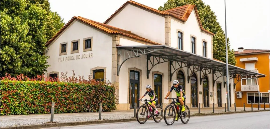
Corgo Greenway
- Organic Shops
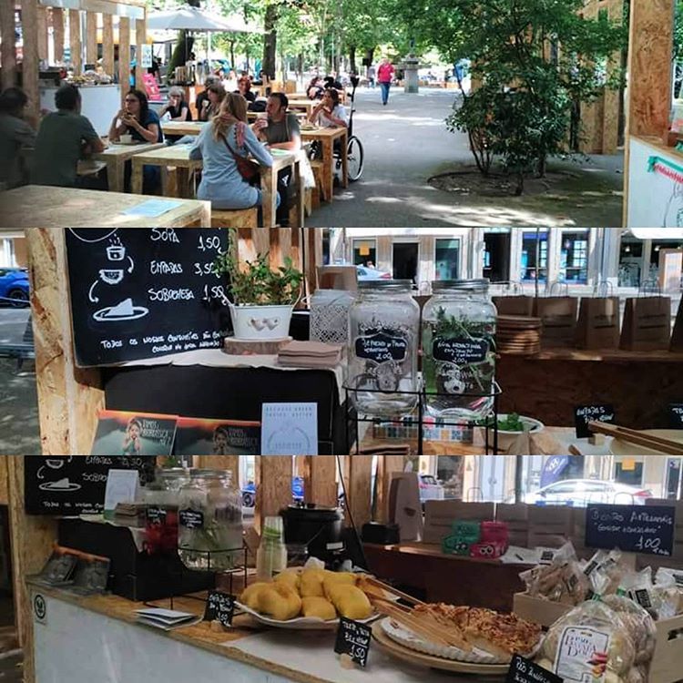
Biobrassica
- Craft Food
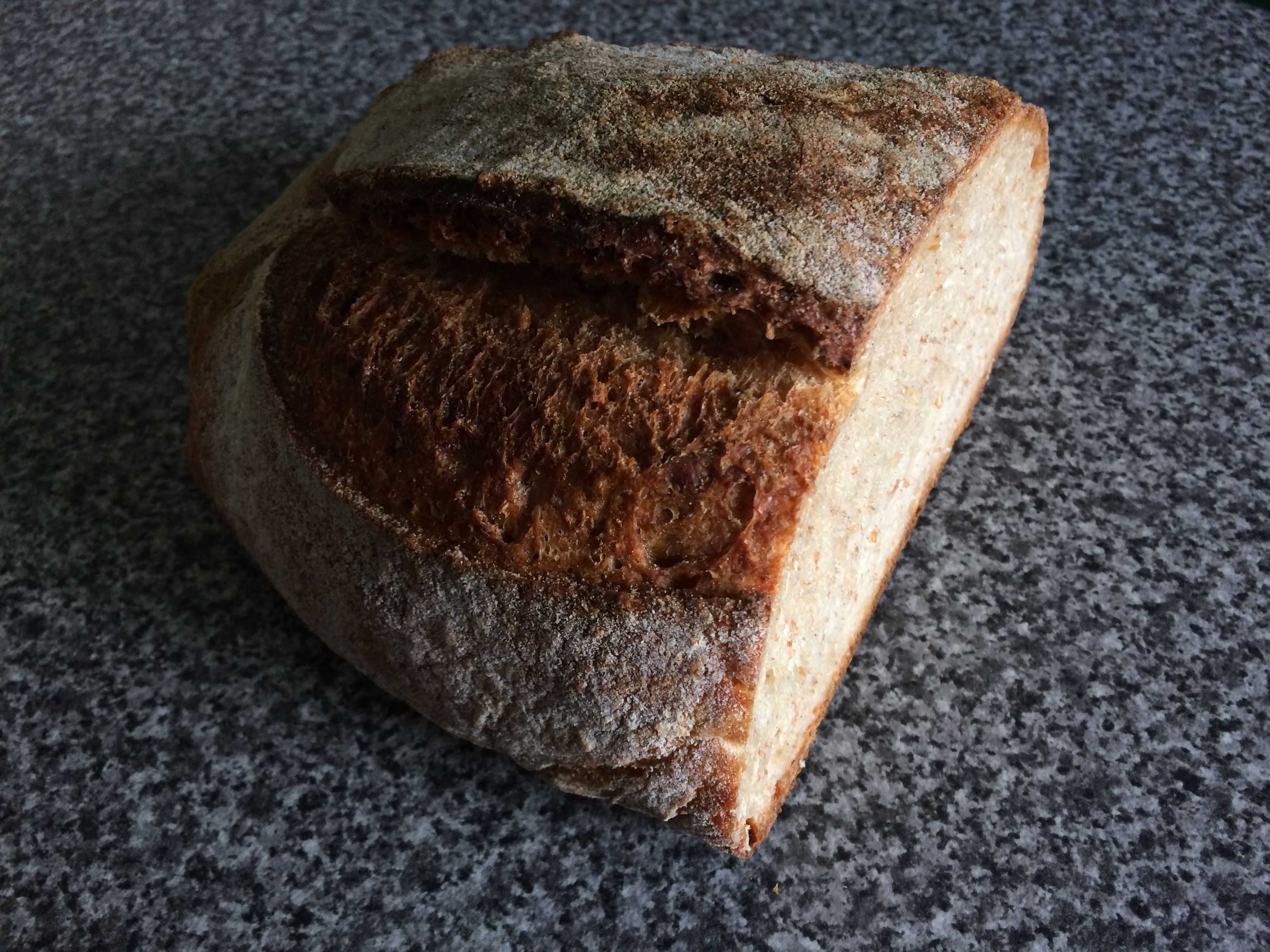
Nørre Bakery
- Nature Trails
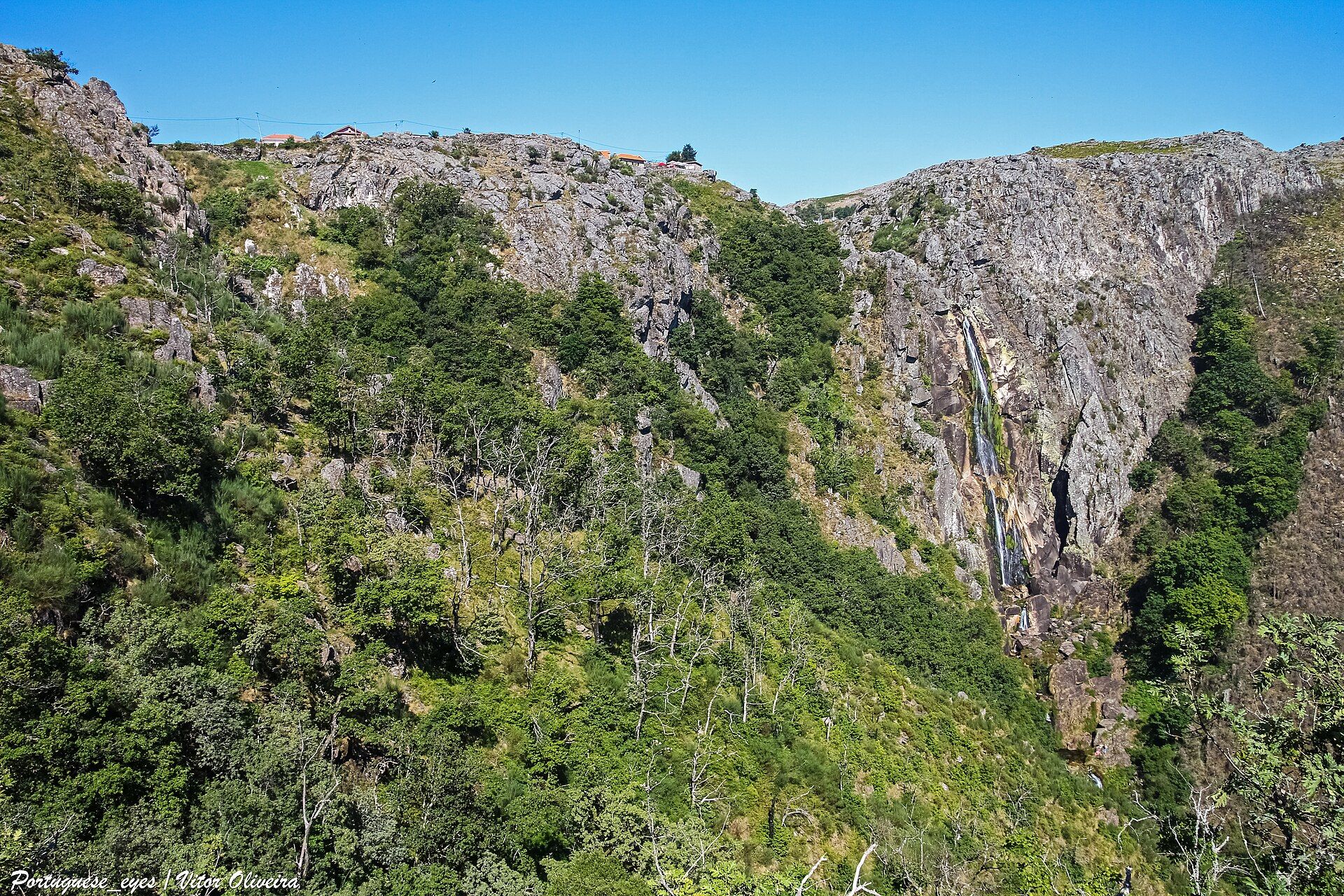
Frecha da Mizarela Trail
- Traditional Crafts

Teciborda
- Natural Parks
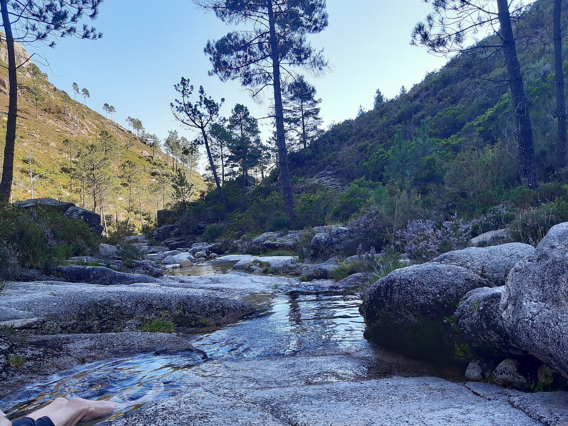
Peneda-Gerês National Park
- Eco Stays
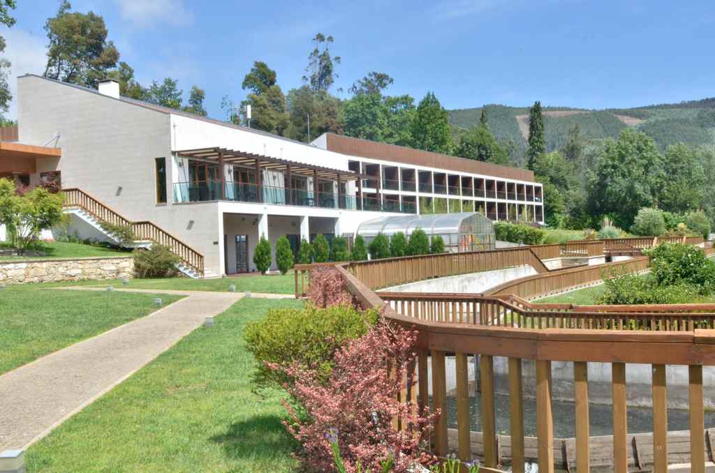
Vale do Rio Eco Hotel
- Ecoparks
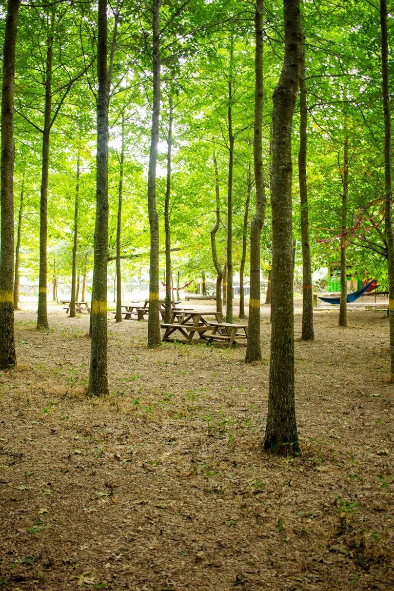
Pé Descalço Ecopark
Photos from travellers
Sent by people who have been here.
No traveller photos yet. Been here? Share yours.
More places in Greenways
- Greenways
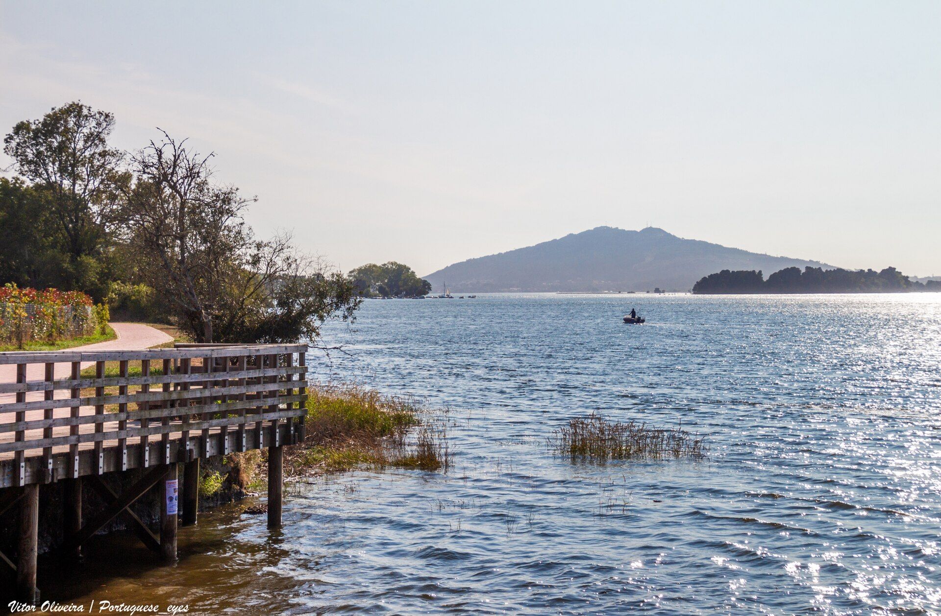
Minho Greenway
- Greenways
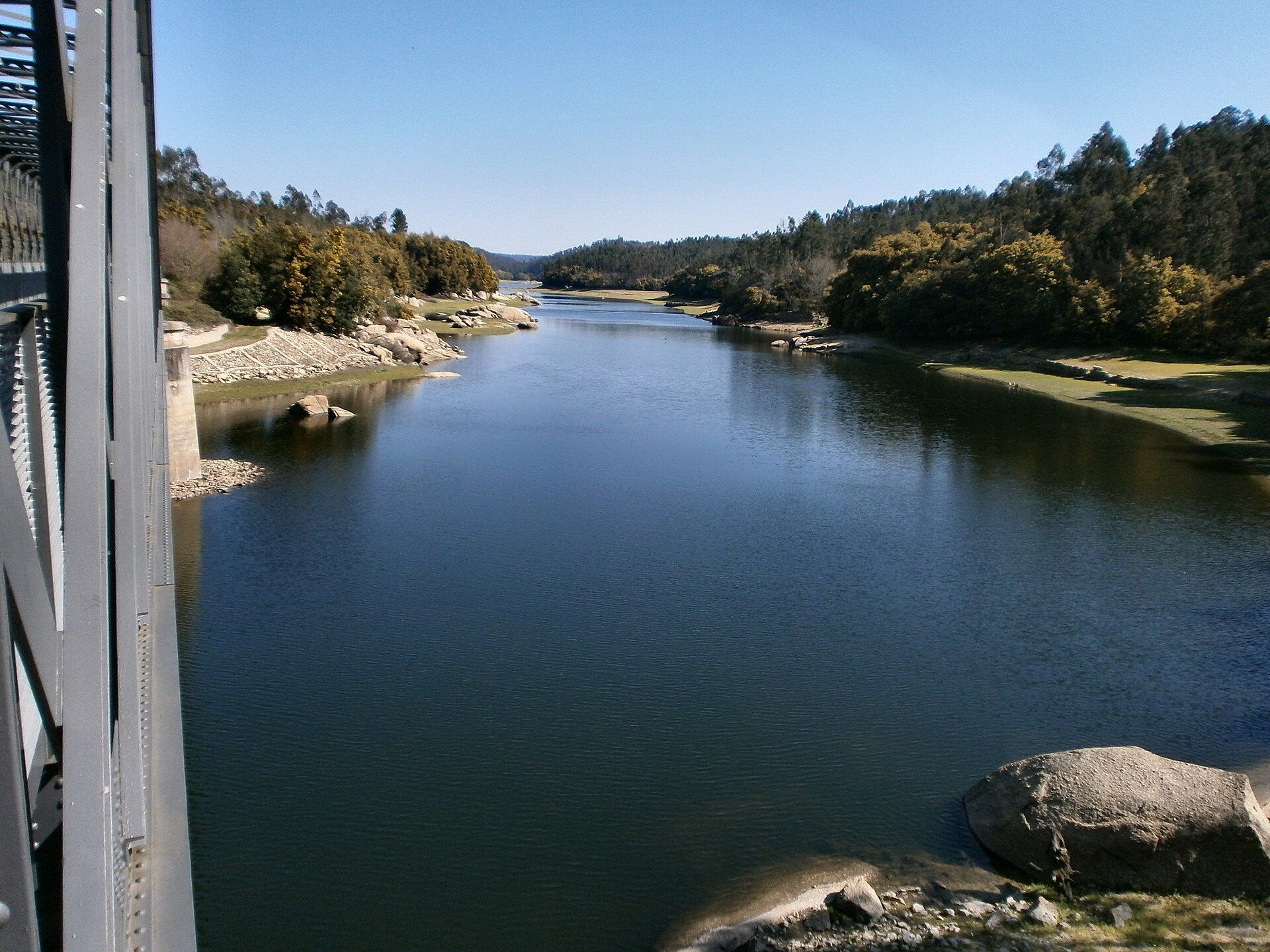
Dão Greenway
- Greenways
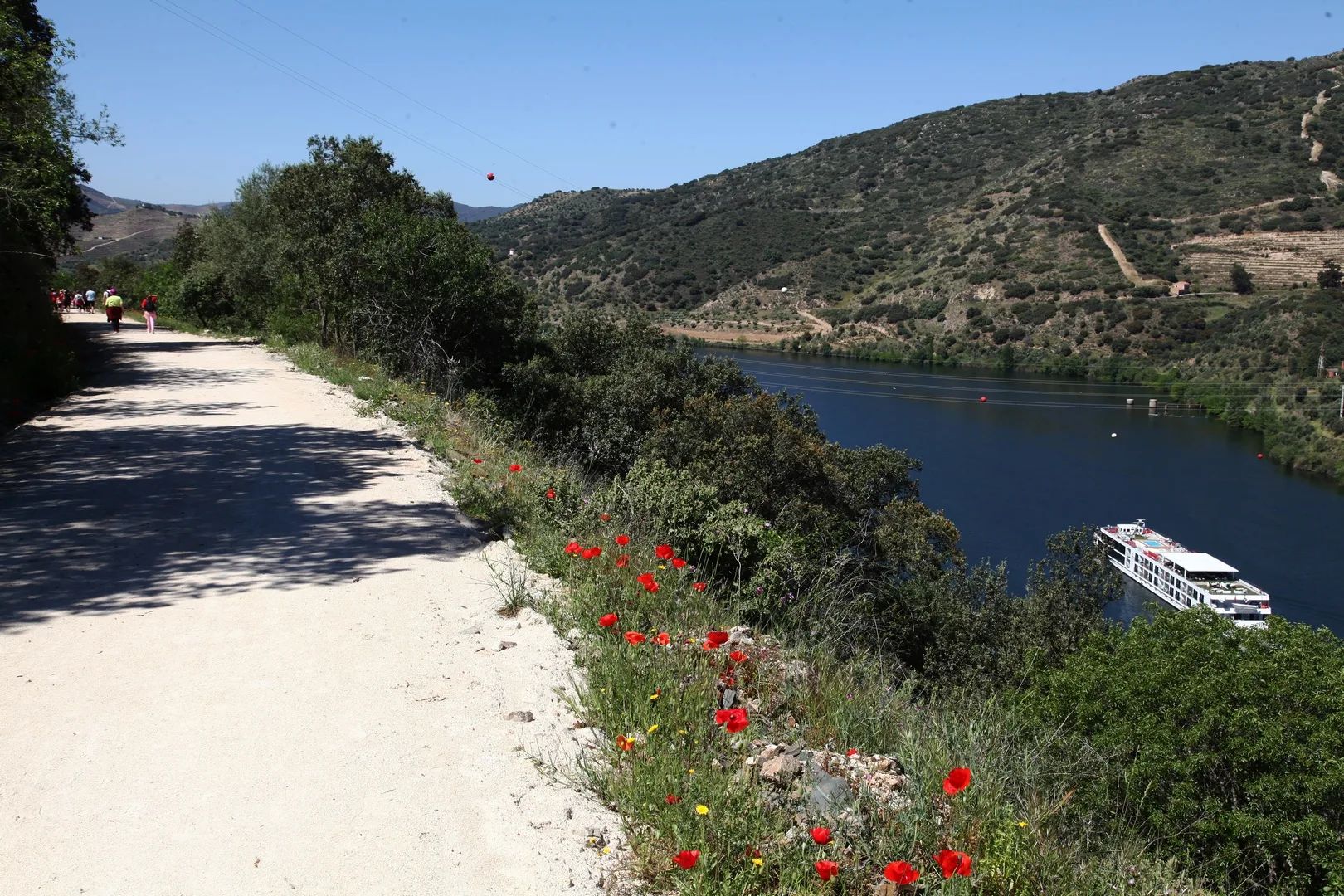
Sabor Greenway
- Greenways
Corgo Greenway
- Greenways
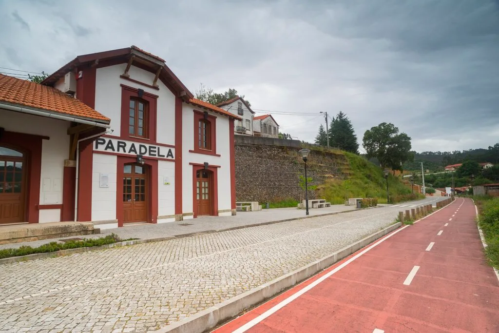
Vouga Greenway
- Greenways
Reguengos Greenway
Travellers' notes
Tips and experiences from people who have been here.
No notes yet. Be the first to share a tip.