A marine reserve on Madeira's wild north coast, below the cliffs of Santana. Created in 1997 at the request of local people, it protects fishing grounds, seabird islets and sea caves, and is reached by a cliff path or a cable car.
About this place
The Rocha do Navio Nature Reserve lies on the north coast of Madeira, in the municipality of Santana. It is entirely marine: it runs for just over six kilometres between Ponta de São Jorge in the west and Ponta do Clérigo in the east, from the high-tide line out to a depth of 100 metres, and takes in two islets, Rocha das Vinhas and Viúva. In all it covers 1,710 hectares. The name, which means ship's rock, recalls a Dutch schooner wrecked here in strong winds in the nineteenth century.
The reserve was created in 1997 because the people of Santana asked for it. Gill nets and even explosives had emptied the inshore waters, and local fishermen wanted the seabed to recover. Today nets are banned; sport fishing, recreational diving and non-motorised water sports continue alongside conservation, while access to the islets is restricted. The area is also the marine core zone of the Santana Biosphere Reserve, recognised by UNESCO in 2011, and the Viúva islet is part of the Natura 2000 network.
Strong water movement brings large shoals of fish to these rocky bottoms: dusky grouper, island grouper, barred hogfish, sea bream, parrotfish and several kinds of moray eel live here all year. Cory's shearwaters, Bulwer's petrels and Madeiran storm petrels nest on the islets, along with common terns and yellow-legged gulls. Bottlenose dolphins and loggerhead turtles pass by from time to time, and a sea cave near the Viúva islet was used in the past by the Mediterranean monk seal. The cliffs carry plants typical of Macaronesian coasts, some of them found only in the Madeira archipelago.
Visitors start at the Rocha do Navio viewpoint, in Santana, which looks down on the Viúva islet, 94 metres high and pierced right through. From there a steep path cut into the cliff, about one and a half kilometres and fifty minutes on foot, leads down to the fajã, a strip of small farm plots at the foot of the cliff. A cable car run by the municipality, built to help farmers reach their land, makes the same journey in about five minutes. At the bottom are the reserve's reception centre and exhibition room, a wine press and a water tank carved into the rock, and a pebble beach. The sea on this coast is often rough, so getting into the water depends on the day. School and other educational groups can arrange visits with Madeira's Institute of Forests and Nature Conservation.
Location
Madeira32.8133, -16.8732
Nearby
- Ecoparks
Funchal Ecological Park
- Natural Parks
Madeira Natural Park
- Nature Trails
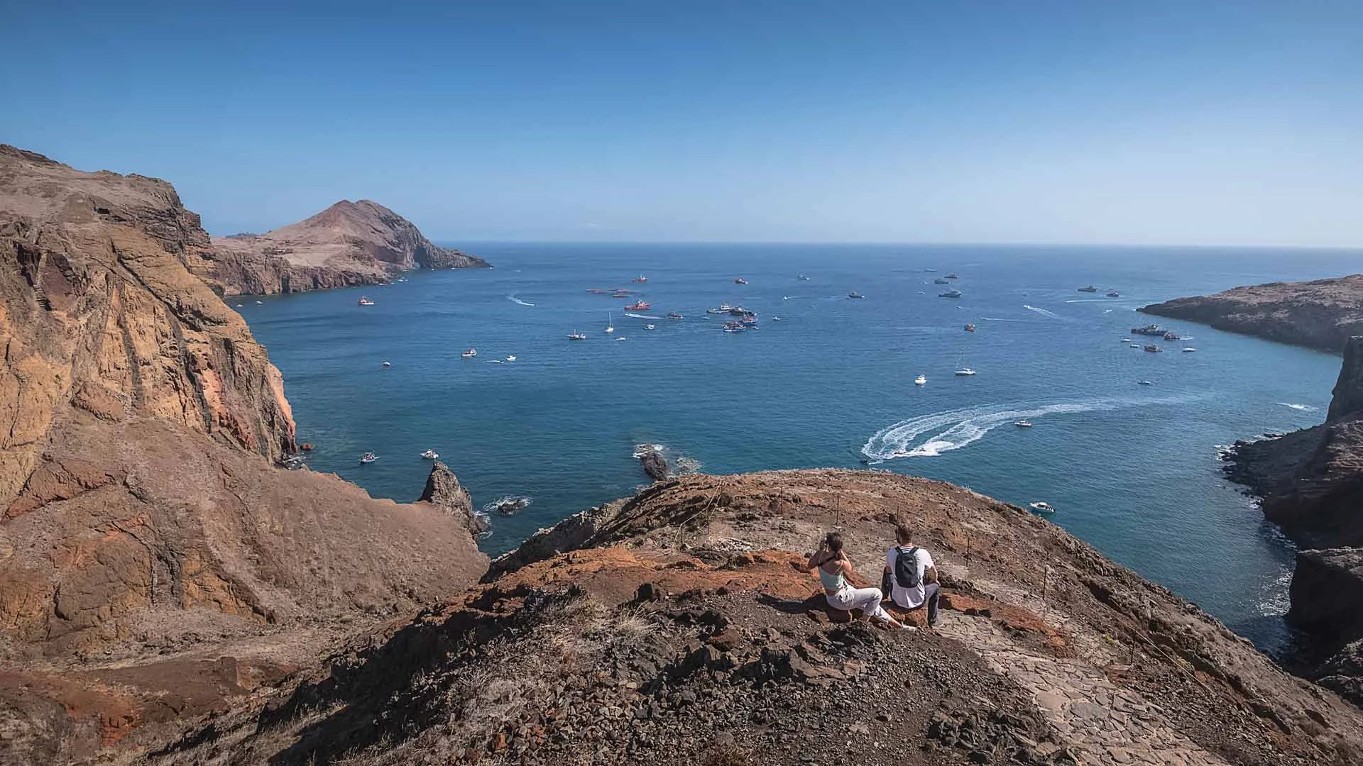
Vereda da Ponta de São Lourenço Trail (PR 8)
- Traditional Crafts
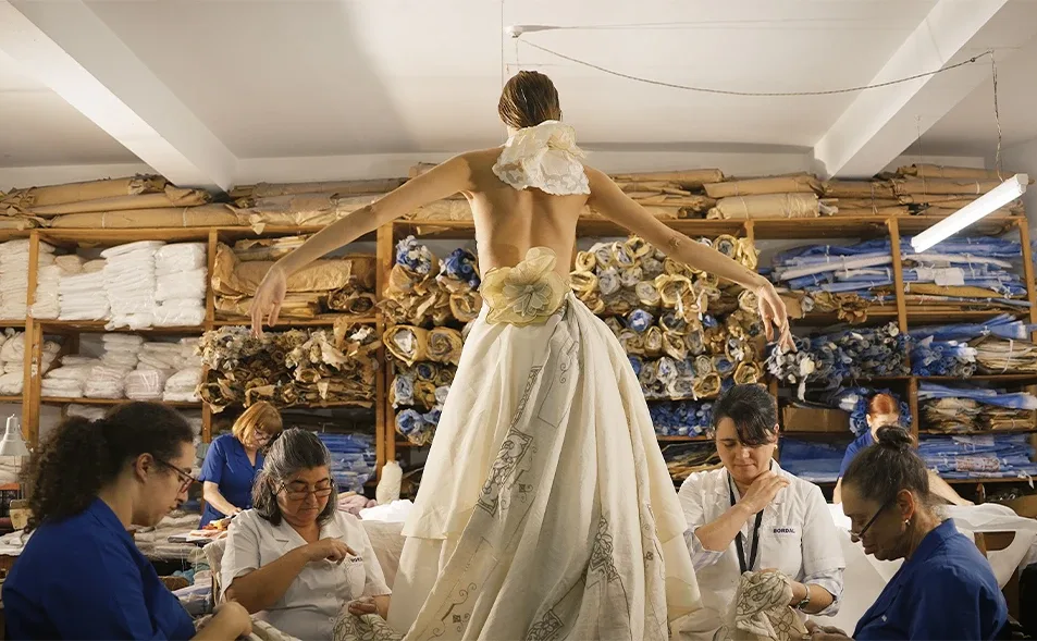
Bordal – Madeira Embroidery Factory
- Organic Shops
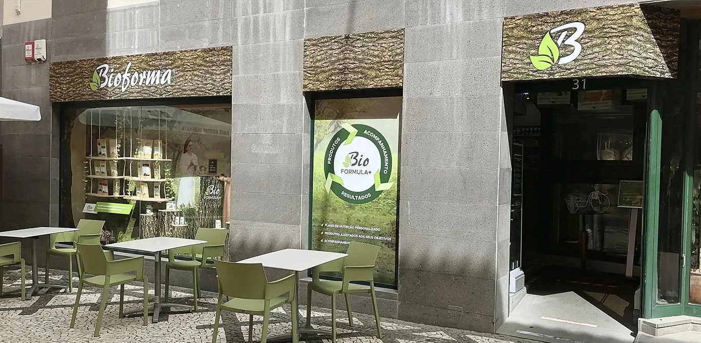
Bioforma
- Restaurants
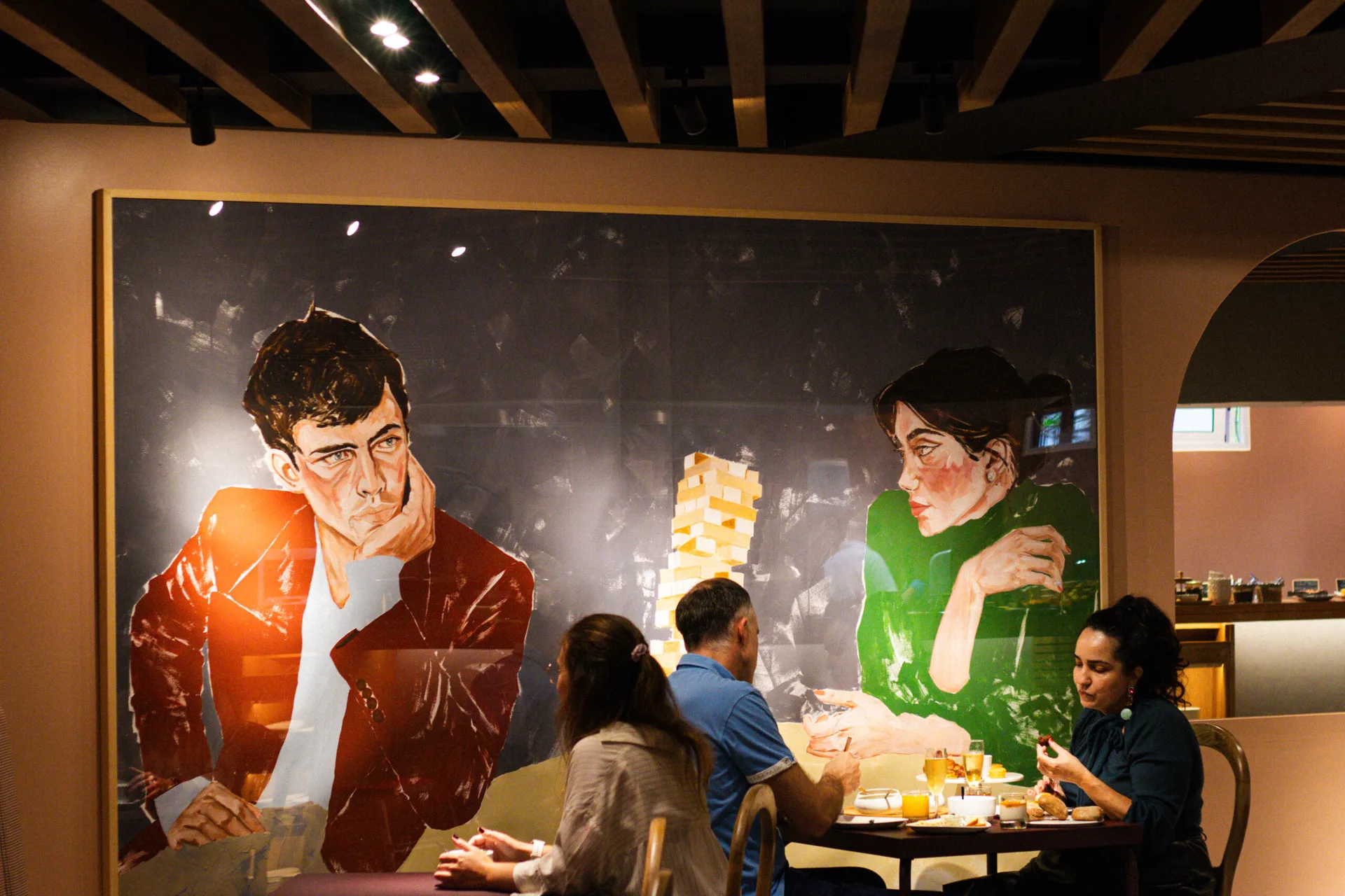
NUA Restaurant
- Craft Food
Ribeiro Sêco Sugarcane Honey Factory
- Nature Reserves
Garajau Partial Nature Reserve
Photos from travellers
Sent by people who have been here.
No traveller photos yet. Been here? Share yours.
More places in Nature Reserves
- Nature Reserves
Berlengas Nature Reserve
- Nature Reserves
São Jacinto Dunes Nature Reserve
- Nature Reserves
Castro Marim and Vila Real de Santo António Marsh Nature Reserve
- Nature Reserves
Desertas Islands Nature Reserve
- Nature Reserves
Garajau Partial Nature Reserve
- Nature Reserves
Lagoa do Fogo Nature Reserve
- Nature Reserves
Caldeira do Faial Nature Reserve
- Nature Reserves
Tagus Estuary Nature Reserve (Estuário do Tejo)
- Nature Reserves
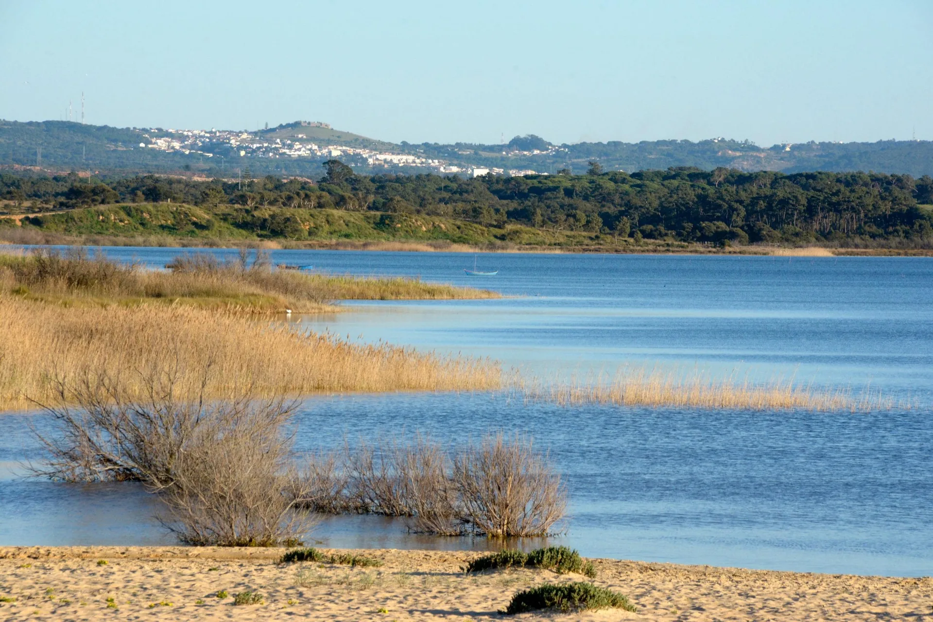
Santo André and Sancha Lagoons Nature Reserve
- Nature Reserves
Paul do Boquilobo Nature Reserve
- Nature Reserves
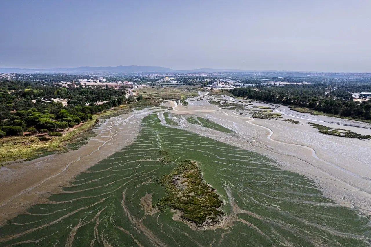
Sapal do Rio Coina and Mata da Machada Local Nature Reserve
- Nature Reserves
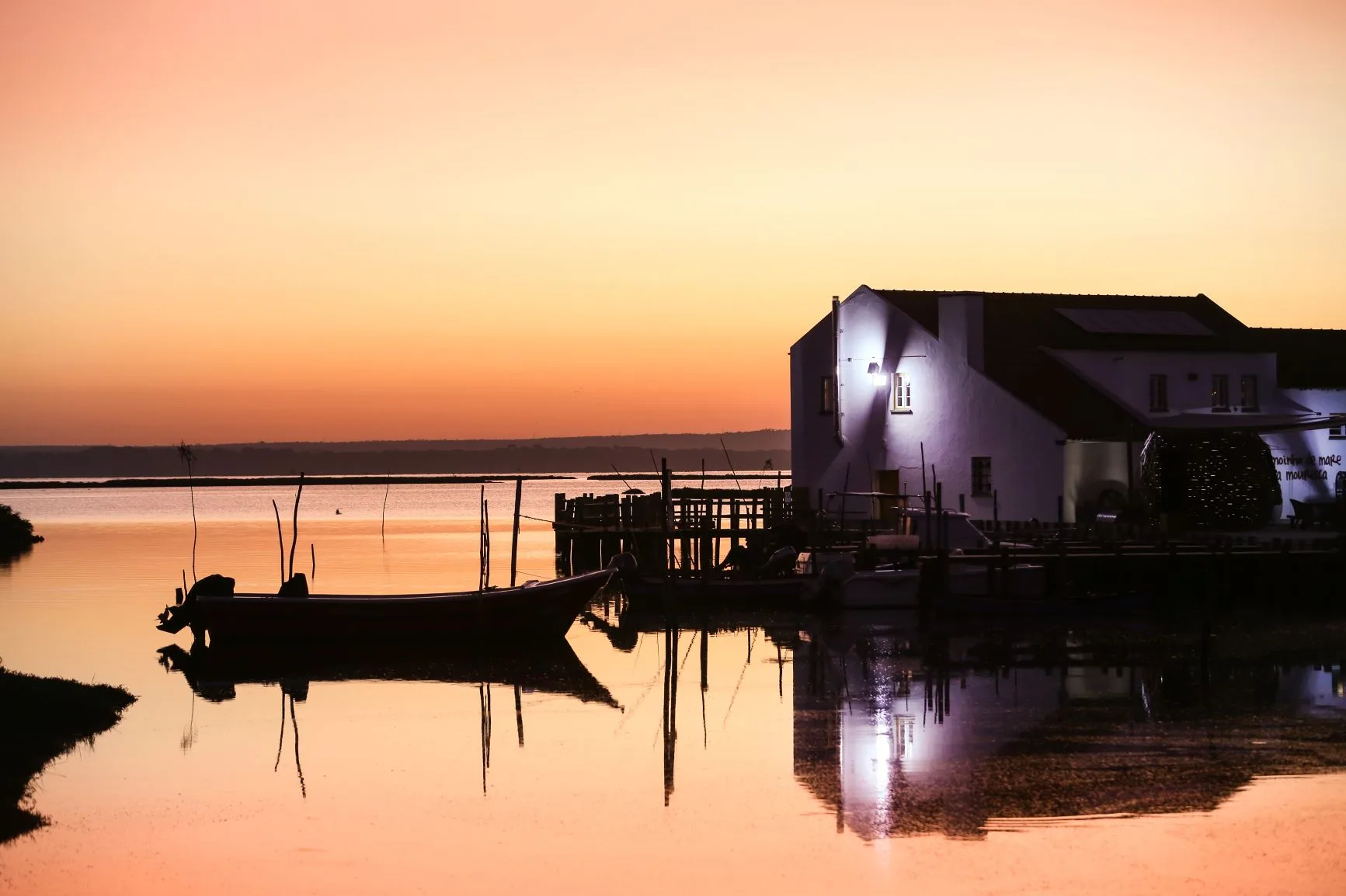
Sado Estuary Nature Reserve
- Nature Reserves
Paul de Arzila Nature Reserve
- Nature Reserves
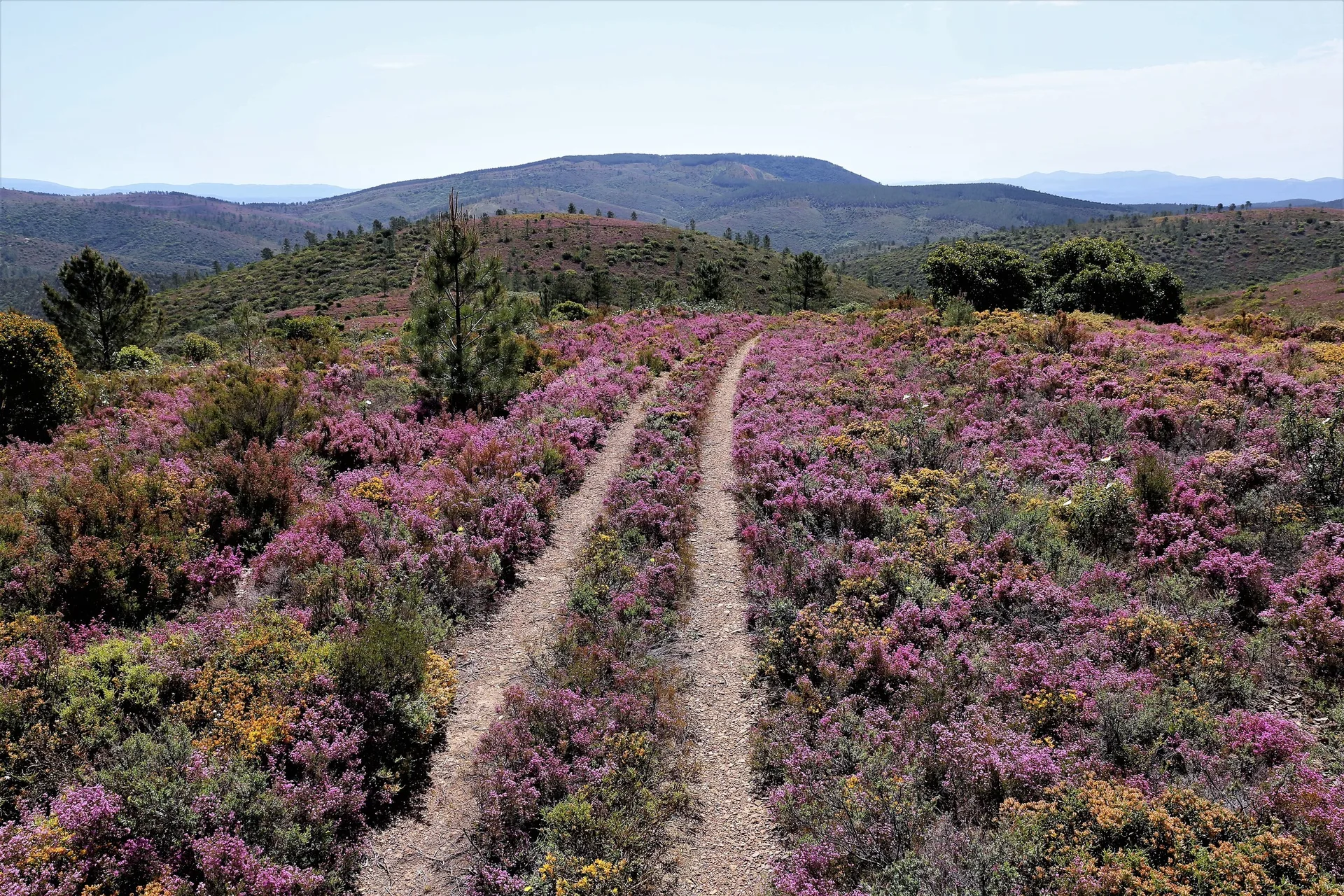
Serra da Malcata Nature Reserve
- Nature Reserves
Paul do Taipal Wetland
- Nature Reserves
Paul da Madriz Wetland
- Nature Reserves
Douro Estuary Local Nature Reserve
- Nature Reserves

Faia Brava Reserve
- Nature Reserves
Paul de Tornada Local Nature Reserve
- Nature Reserves

Lagoa Pequena Interpretive Space
- Nature Reserves
Vila Franca do Campo Islet
- Nature Reserves
Selvagens Islands Nature Reserve
- Nature Reserves
Foz do Almargem and Trafal Local Nature Reserve
- Nature Reserves

Pateira de Fermentelos Lagoon
- Nature Reserves
Pico Mountain Nature Reserve
- Nature Reserves
Castro Verde Biosphere Reserve
Travellers' notes
Tips and experiences from people who have been here.
No notes yet. Be the first to share a tip.