A crater lake high in the centre of São Miguel, inside the caldera of the Fogo volcano and surrounded by native Azorean vegetation. Protected since 1974, it has no buildings on its shores and a single certified trail down to the water.
About this place
Lagoa do Fogo Nature Reserve lies in the centre of São Miguel, the largest island of the Azores. It covers about 507 hectares and corresponds to the summit caldera of the Fogo volcano, also known as the Água de Pau massif. The caldera is the youngest and smallest on the island, formed around 15,000 years ago, and measures about 2.8 kilometres across. Part of it is filled by the lake, whose shores lie about 575 metres above sea level, beneath a rim that climbs to more than 900 metres at Pico da Barrosa.
The area has been protected since 1974, and today the reserve is one of the protected areas that make up São Miguel Natural Park. It is also a Ramsar wetland and a Special Area of Conservation of the Natura 2000 network, and no building is allowed around the lake. The steep inner slopes are covered in natural woodland rich in plants found only in the Azores, survivors of the old laurel forest such as Azorean holly, Azorean laurel, Azorean heather, Azorean blueberry and Azorean viburnum. Although the sea is some way off, common terns and yellow-legged gulls nest here.
The lake matters to people as well. Around forty streams run down inside the caldera, eighteen of them straight into the lake, and its water feeds springs lower down that help to supply the municipalities of Vila Franca do Campo, Lagoa, Ribeira Grande and Ponta Delgada.
Many visitors see the lake from the viewpoints on the mountain road above it, such as those of Lagoa do Fogo and Pico da Barrosa. To reach the water there is one certified walking trail, the Praia to Lagoa do Fogo route, which starts beside the Lagos scout camp, above the south coast, follows a water channel up the valley of the Ribeira da Praia and comes out on the southern shore; the way back is by the same path. The ground is often wet and muddy, so wear suitable footwear. Stay on the marked trail, take all litter away and keep your distance from the gulls, especially in the nesting season in April and May.
Location
Azores37.7694, -25.4883
Nearby
- Natural Parks
São Miguel Natural Park
- Eco Stays
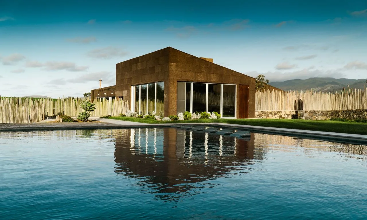
Santa Bárbara Eco-Beach Resort
- Nature Trails
Sanguinho and Salto do Prego Trail (PRC 09 SMI)
- Nature Reserves
Caldeira do Faial Nature Reserve
- Eco Stays
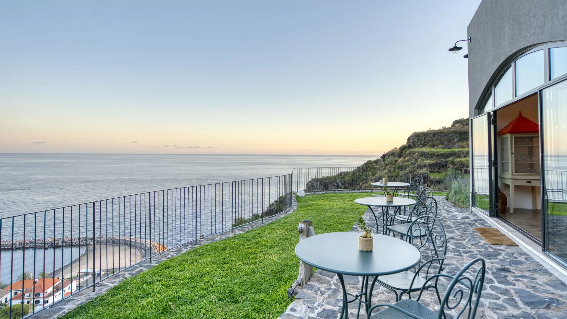
Socalco Nature Calheta
- Nature Trails
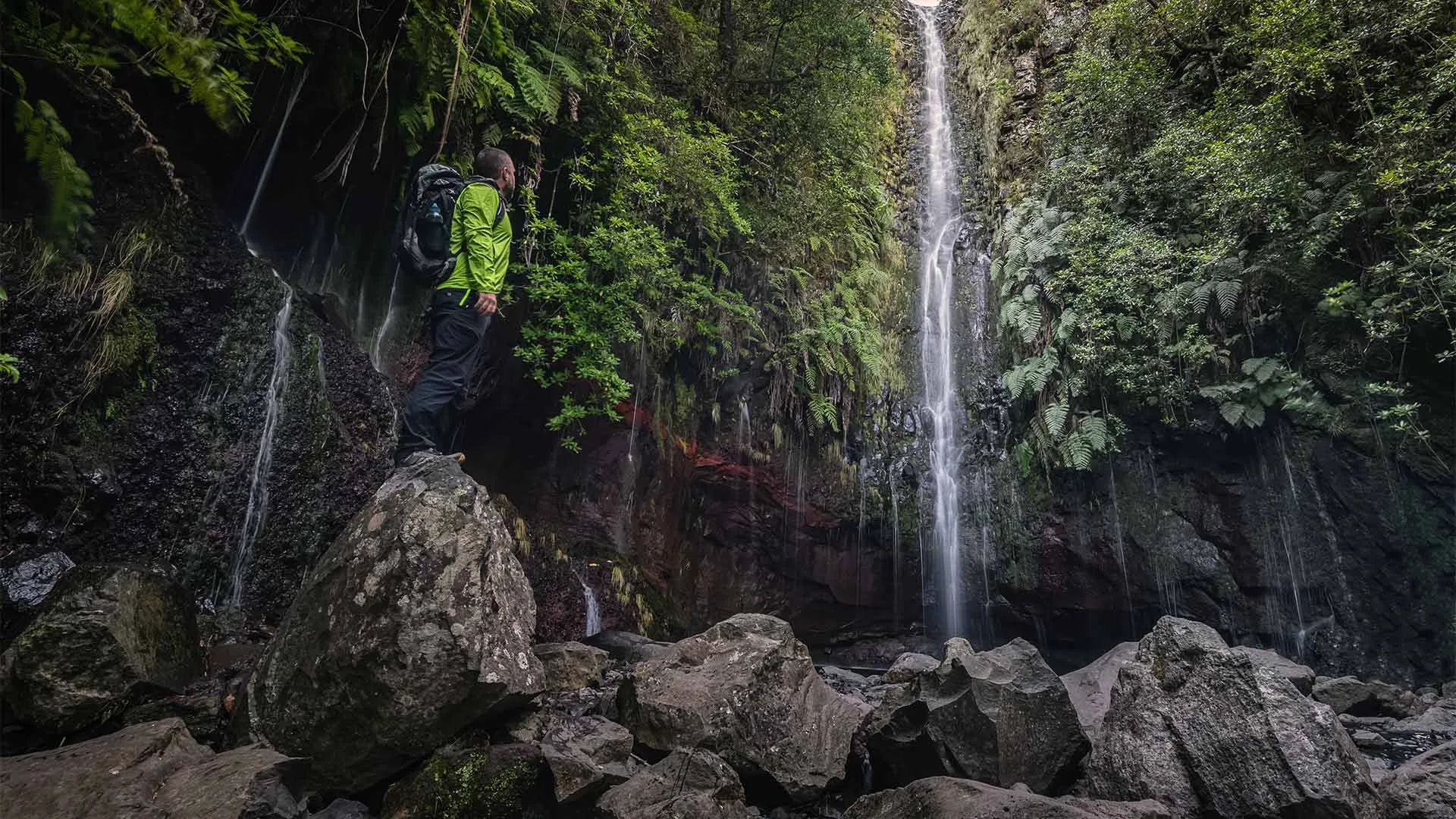
Levada das 25 Fontes Trail (PR 6)
- Natural Parks
Madeira Natural Park
- Nature Reserves
Garajau Partial Nature Reserve
Photos from travellers
Sent by people who have been here.
No traveller photos yet. Been here? Share yours.
More places in Nature Reserves
- Nature Reserves
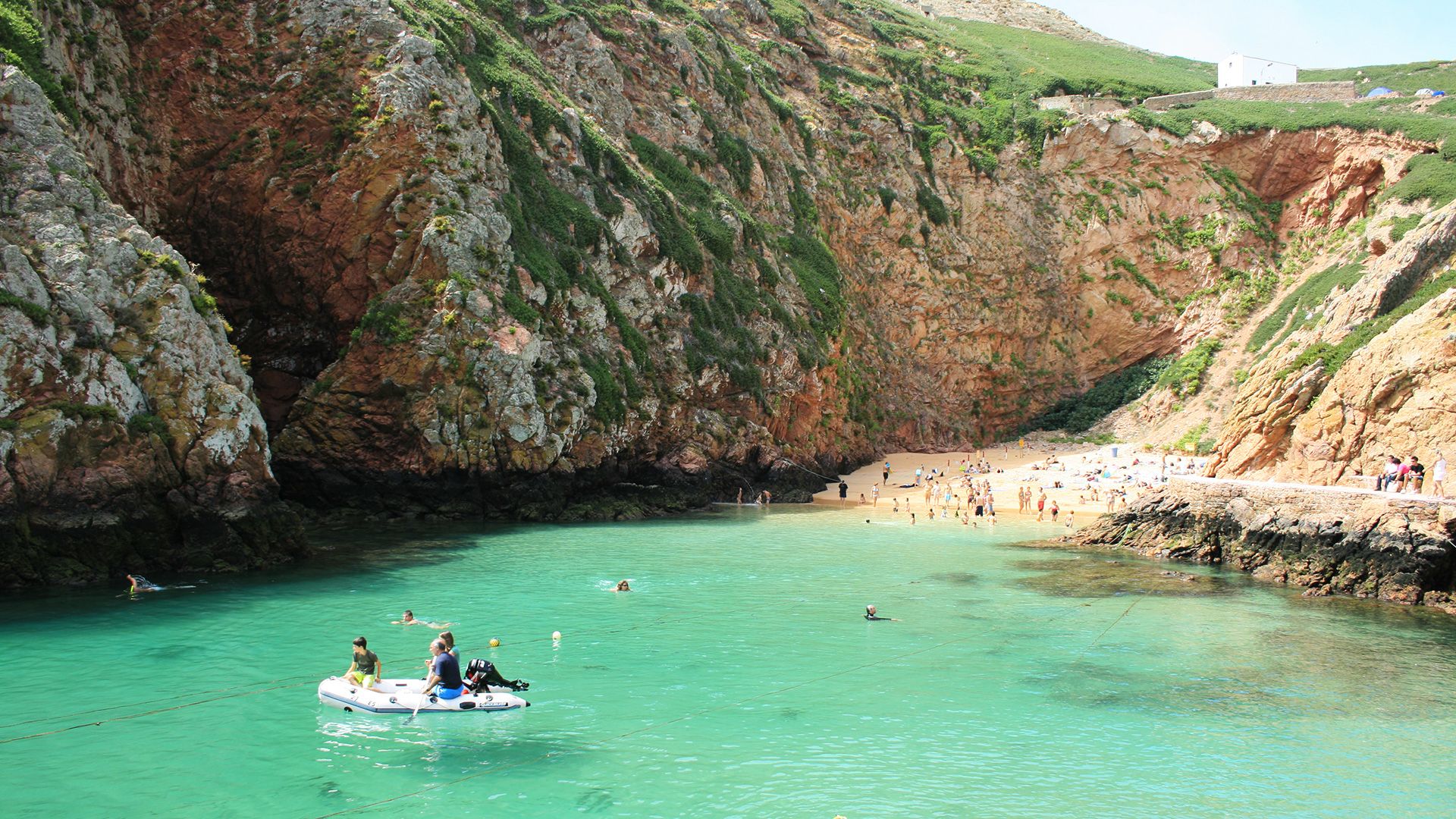
Berlengas Nature Reserve
- Nature Reserves
São Jacinto Dunes Nature Reserve
- Nature Reserves
Castro Marim and Vila Real de Santo António Marsh Nature Reserve
- Nature Reserves
Desertas Islands Nature Reserve
- Nature Reserves
Garajau Partial Nature Reserve
- Nature Reserves
Caldeira do Faial Nature Reserve
Travellers' notes
Tips and experiences from people who have been here.
No notes yet. Be the first to share a tip.