A volcanic crater two kilometres wide and 400 metres deep at the top of Faial island, sheltering much of the endemic flora of the Azores. The rim can be walked freely; the descent inside is only with an accredited guide.
About this place
Caldeira do Faial Nature Reserve covers 313 hectares in the centre of Faial, one of the islands of the Azores, and takes in the whole of the caldera at the top of the island's central volcano. The crater is about 2 kilometres across and on average 400 metres deep, and it is the youngest caldera in the Azores, around a thousand years old. On its southern rim stands Cabeço Gordo, at 1,043 metres the highest point of the island.
This was the first protected area created in the Azores, in 1972; it became a nature reserve in 1982 and is now part of Faial Natural Park. The caldera holds about two thirds of the endemic vascular plants of the Azores in an excellent state of conservation, among them short-leaved juniper and Azorean spurge, as well as birds such as the Azores chaffinch and a weevil that lives nowhere else. It is a Natura 2000 site, a Ramsar wetland and a geosite of the Azores UNESCO Global Geopark.
The floor of the crater has a small scoria cone and, against the south-west wall, a lava dome known as Rocha do Altar. It once held a permanent lake fed by rainwater, which drained away during the earthquakes of May 1958 linked to the eruption of the Capelinhos volcano, at the western end of the island.
The rim is open to everyone. At the Caldeira viewpoint, a short tunnel leads to a view of the interior, and the signposted Caldeira trail makes an easy circuit of 6.8 kilometres around the rim in about two and a half hours; it runs at between 840 and 1,040 metres, so choose a day of clear weather. Going down into the crater is a different matter: it is allowed only in daylight and with an accredited guide, with a limit of 40 visitors a day and three hours inside, on a hard circular route of about 3 kilometres. From Horta, head north towards the parish of Flamengos and follow the signs for Caldeira.
Location
Azores38.5807, -28.7066
Nearby
- Eco Stays
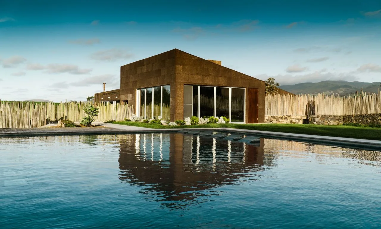
Santa Bárbara Eco-Beach Resort
- Nature Reserves
Lagoa do Fogo Nature Reserve
- Natural Parks
São Miguel Natural Park
- Nature Trails
Sanguinho and Salto do Prego Trail (PRC 09 SMI)
- Eco Stays
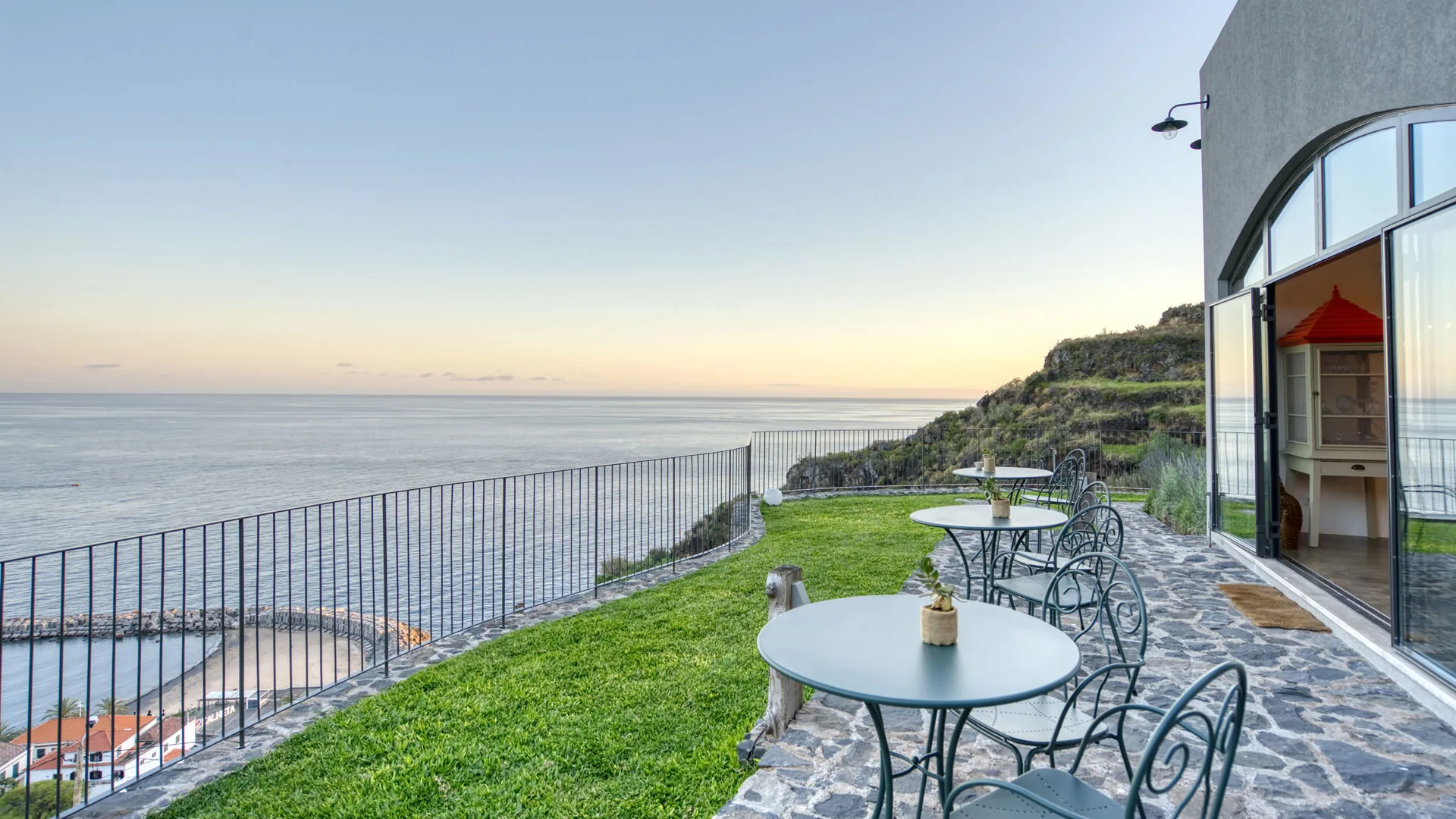
Socalco Nature Calheta
- Nature Trails
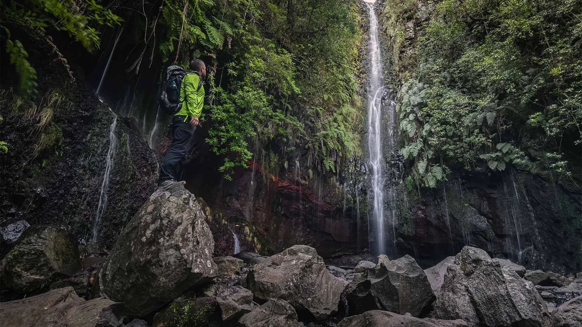
Levada das 25 Fontes Trail (PR 6)
- Natural Parks
Madeira Natural Park
- Nature Reserves
Garajau Partial Nature Reserve
Photos from travellers
Sent by people who have been here.
No traveller photos yet. Been here? Share yours.
More places in Nature Reserves
- Nature Reserves
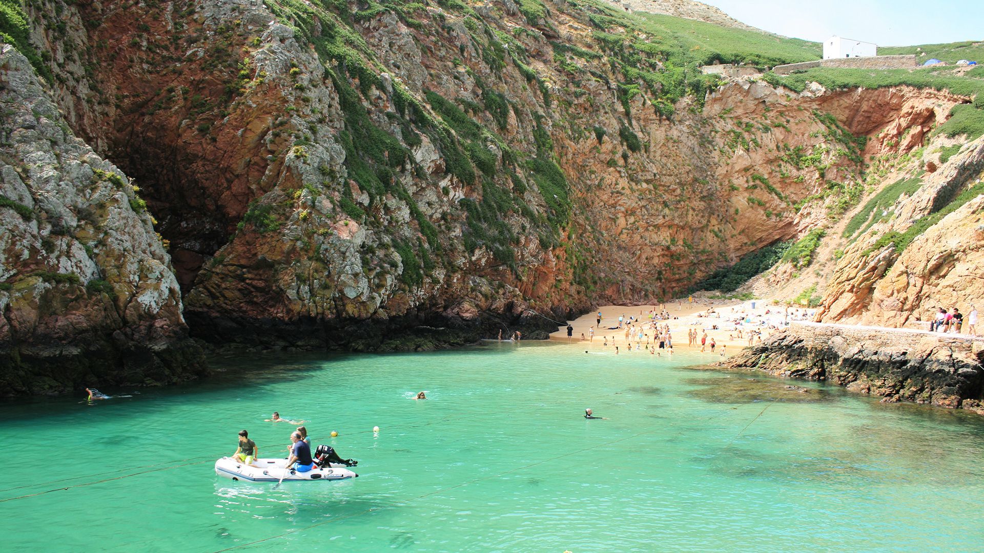
Berlengas Nature Reserve
- Nature Reserves
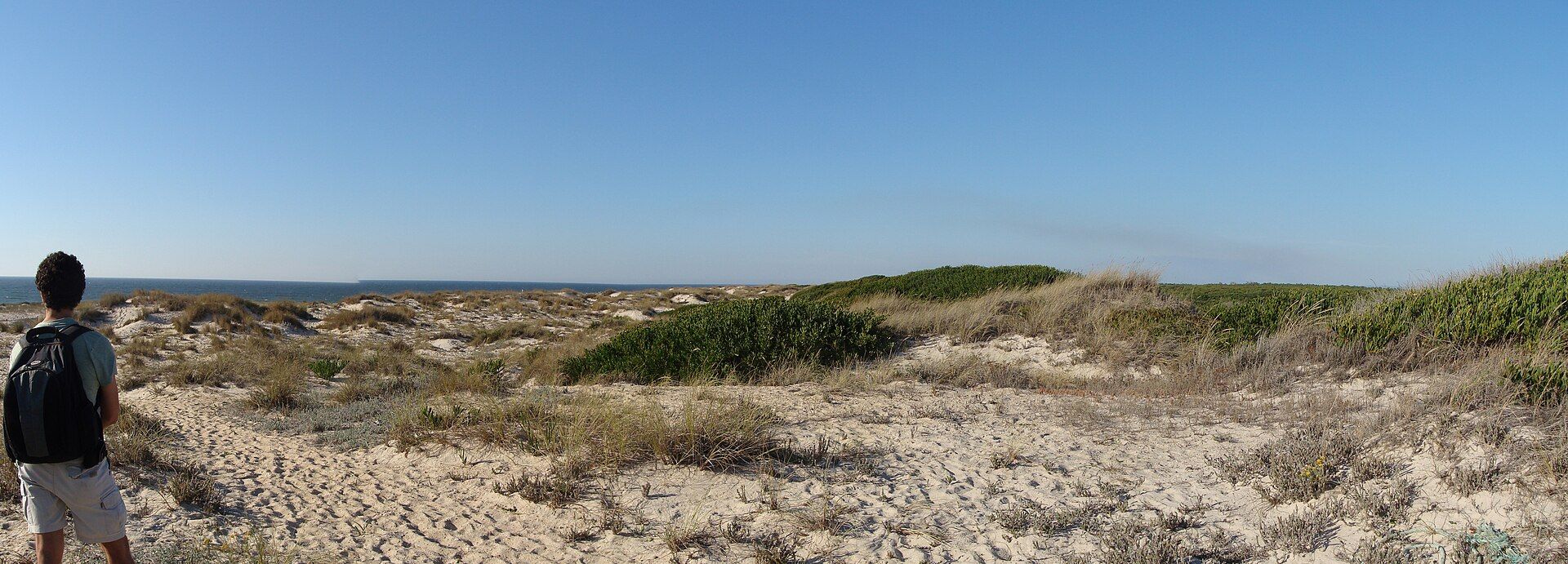
São Jacinto Dunes Nature Reserve
- Nature Reserves
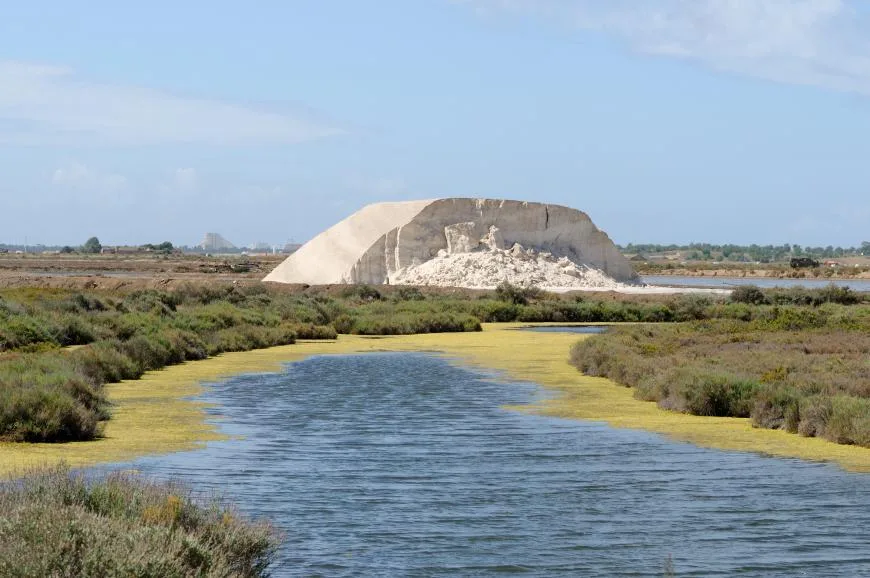
Castro Marim and Vila Real de Santo António Marsh Nature Reserve
- Nature Reserves
Desertas Islands Nature Reserve
- Nature Reserves
Garajau Partial Nature Reserve
- Nature Reserves
Lagoa do Fogo Nature Reserve
Travellers' notes
Tips and experiences from people who have been here.
No notes yet. Be the first to share a tip.