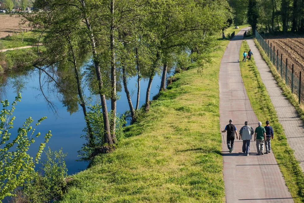
A riverside path for walkers and cyclists along the river Ave in Guimarães, closed to cars and motorcycles. About 6.3 km were open by late 2025, in two stretches, out of 29 km planned across the municipality.
About this place
The Ecovia do Ave is a greenway that the municipality of Guimarães, in the Braga district, is building along the banks of the river Ave with the Laboratório da Paisagem, a landscape research centre based in the city. The plan is for 29 kilometres, part of a 61-kilometre network that also follows the rivers Selho and Vizela. The first stretches were officially inaugurated in March 2025. The Ciclovias de Portugal registry puts the length open by late 2025 at about 6.3 kilometres, in two separate sections.
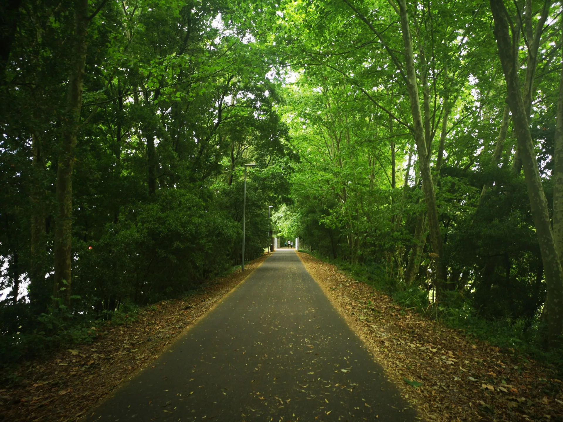
The northern section starts at the Barco leisure park and follows the river downstream through Caldelas, the parish of the spa town of Caldas das Taipas, to a footbridge in the parish of Ponte. After a gap of almost two kilometres, the southern section runs through Brito, from the Campelos weir to the street named Rua 8 Moinhos. The path is shared by pedestrians and bicycles in both directions and is closed to cars and motorcycles. The surface is mostly compacted earth and gravel, the gradients are gentle, and fences separate the route from the private land beside it.
The project is as much about the river as about the path. Its stated aim is to protect and restore the riverside woodland, and the works include removing invasive plants, using natural engineering techniques on banks prone to erosion and planting native species. The municipality chose a natural-looking route built with materials that blend into the riverbank, and it presents the whole as a linear nature park along the Ave and the Selho.
Along the way are four riverside leisure parks, at Barco, Praia Seca, Caldas das Taipas and Ínsua, with picnic areas, playgrounds, sports equipment and river beaches. Near the end of the northern section the route passes the so-called Roman Bridge, a footbridge over the Ave classified as a National Monument, and there are old watermills and weirs at Praia Seca, Campelos and 8 Moinhos. The open stretches lie north-west of the city of Guimarães, and the leisure parks are the easiest places to join the path.
Location
Braga41.4899, -8.3294
Nearby
- Restaurants

Cor de Tangerina
- Restaurants
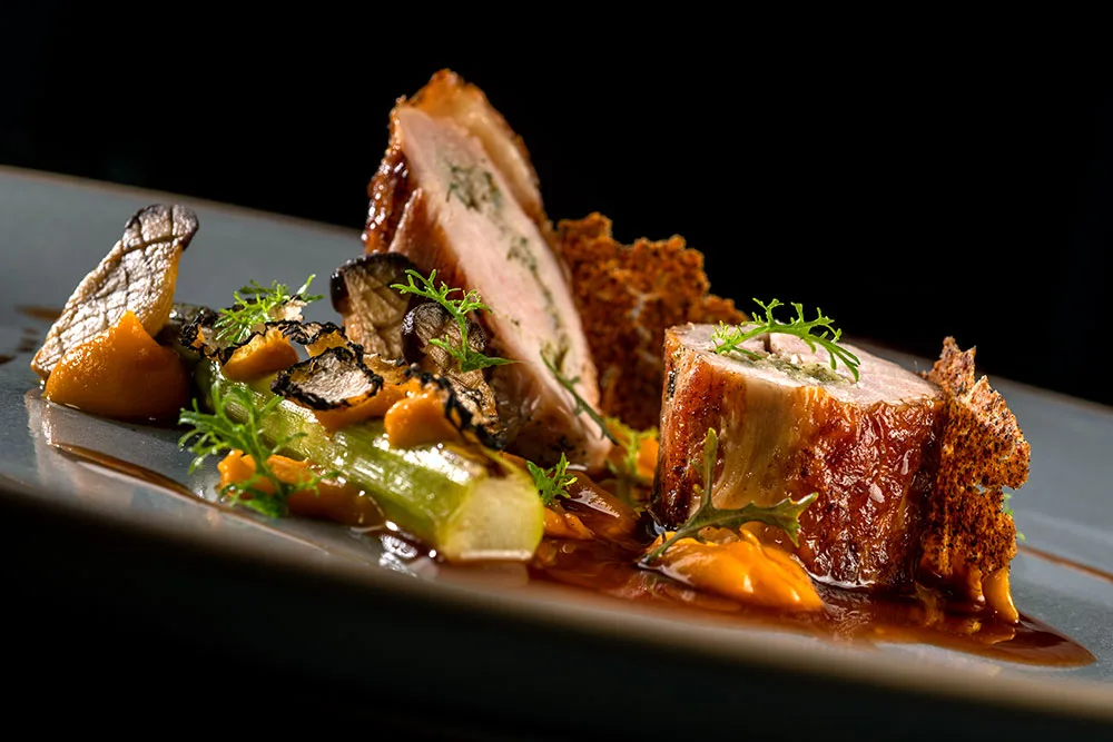
A Cozinha por António Loureiro
- Greenways
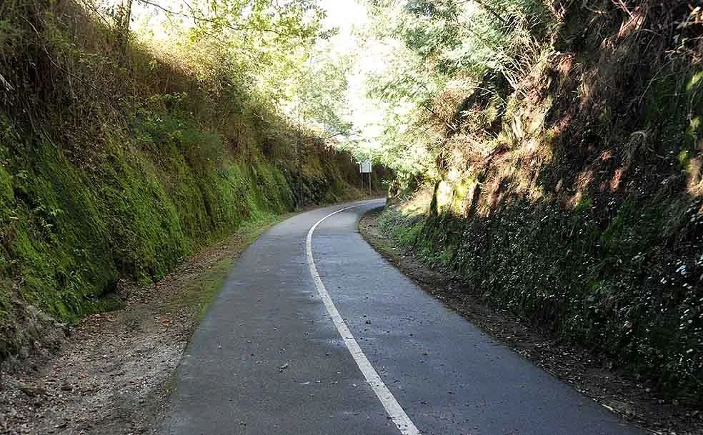
Guimarães–Fafe Greenway
- Organic Shops
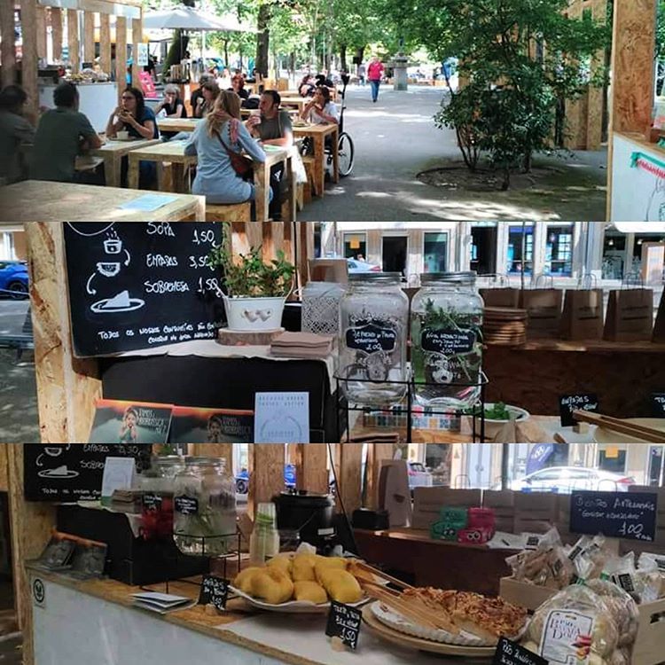
Biobrassica
- Craft Food
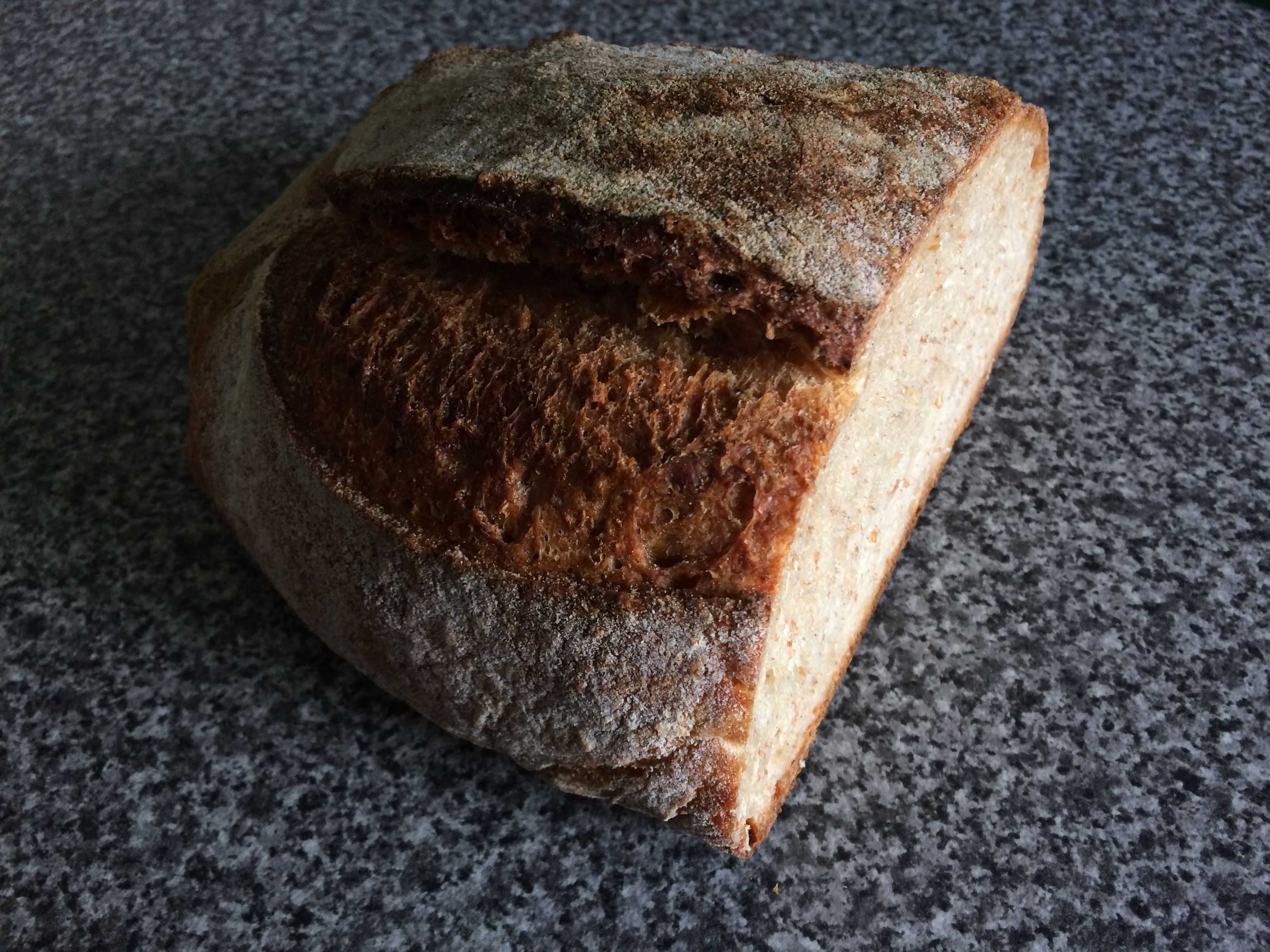
Nørre Bakery
- Outdoor Fun
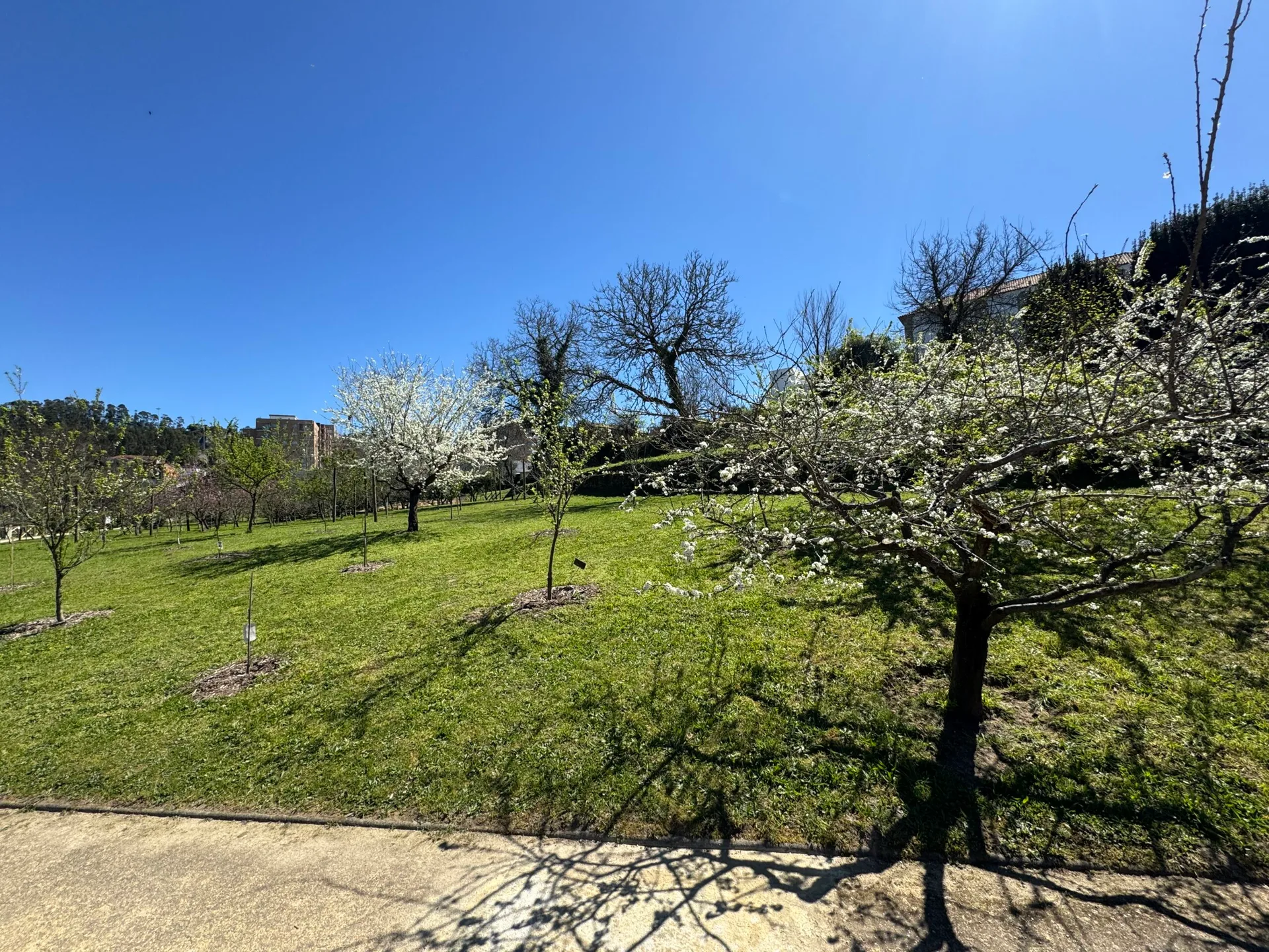
Quinta Pedagógica de Braga (Braga Educational Farm)
- Ecoparks
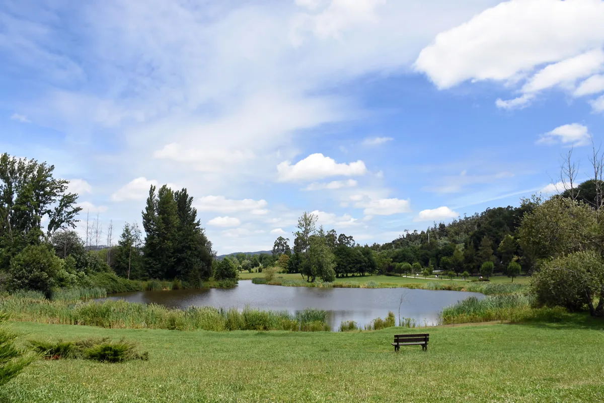
Devesa Park
- Traditional Crafts

Teciborda
Photos from travellers
Sent by people who have been here.
No traveller photos yet. Been here? Share yours.
More places in Greenways
- Greenways
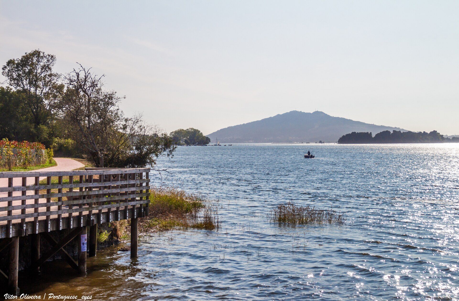
Minho Greenway
- Greenways
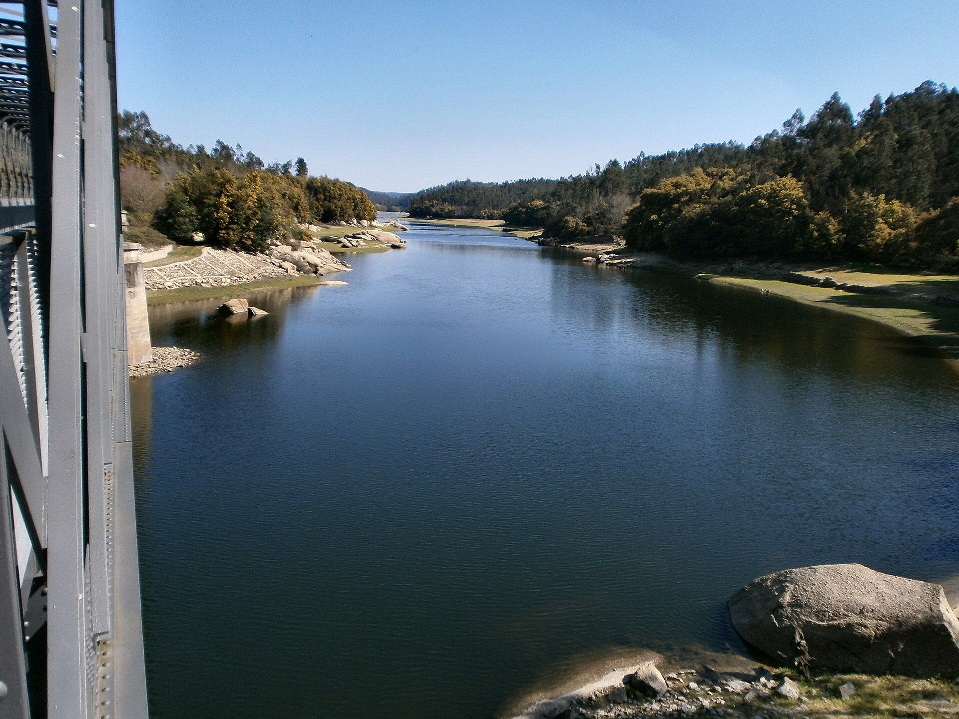
Dão Greenway
- Greenways
Tâmega Greenway
- Greenways
Sabor Greenway
- Greenways
Corgo Greenway
- Greenways
Vouga Greenway
- Greenways
Reguengos Greenway
- Greenways
Atoleiros–Sulfúrea Greenway
- Greenways
Montijo Greenway
- Greenways
Montado Greenway
- Greenways
Guimarães–Fafe Greenway
- Greenways
Famalicão Greenway
- Greenways
Porto de Mós Greenway
- Greenways
Mira Cycle and Walking Track
- Greenways

Vez Greenway
- Greenways
Tua Greenway
- Greenways
Loures Riverside Path
- Greenways
Mora Greenway
- Greenways

Lima River Greenway
- Greenways
Ecocaminho da Maia Greenway
- Greenways

Leça Green Corridor
- Greenways

Arda Greenway
- Greenways
Tâmega Riverside Greenway (Chaves–Verín)
- Greenways
Cávado Greenway
- Greenways
Monsanto Green Corridor
- Greenways

Polis Riverside Path (Percurso Polis), Leiria
Travellers' notes
Tips and experiences from people who have been here.
No notes yet. Be the first to share a tip.